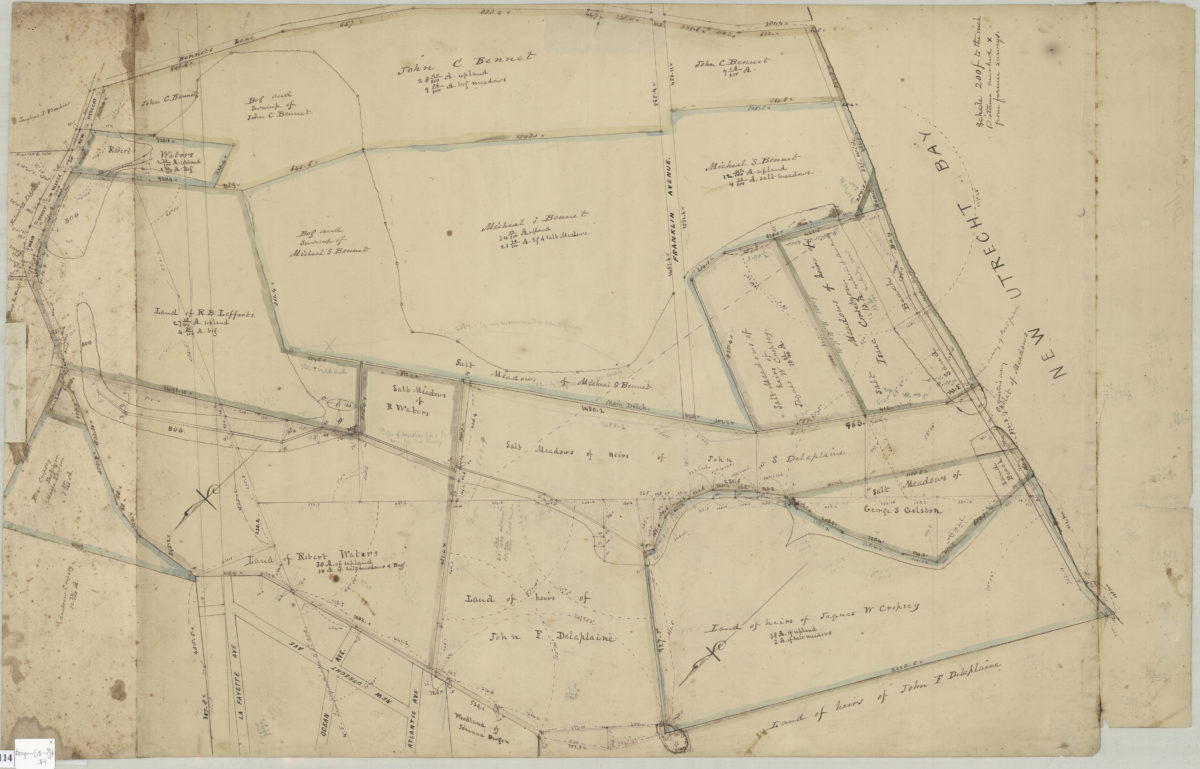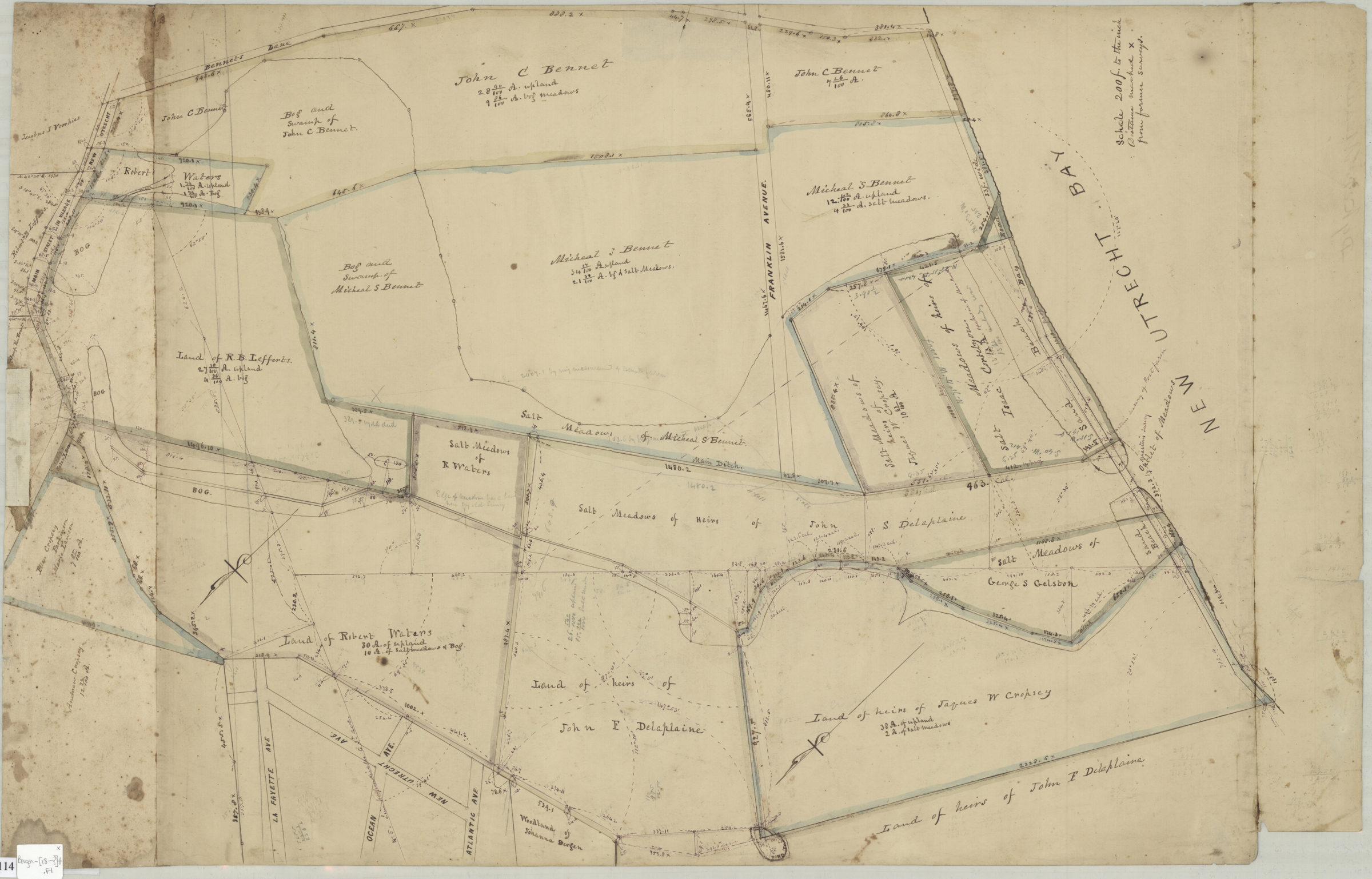
[Map of Dyker Meadows in the town of New Utrecht] [18??]
Map No. Bergen-[18--?]t.Fl
Title devised by cataloger. Cadastral map showing property and names of landowners in modern-day Dyker Heights and Fort Hamilton section of Bay Ridge. In ink, watercolor, and pencil. Attributed to Teunis G. Bergen, based on handwriting on piece. Oriented with north to the lower left.
Subjects
Places
Map area shown
Relation
Full catalog recordSize
48 × 76 cmDownload
Low Resolution Image
Creator
Bergen, Teunis G.,Publisher
Brooklyn Historical SocietyCitation
[Map of Dyker Meadows in the town of New Utrecht]; [18??], Map Collection, Bergen-[18--?]t.Fl; Brooklyn Historical Society.Scale
Scale [1:2400] 1 in to 20Loading zoom image...