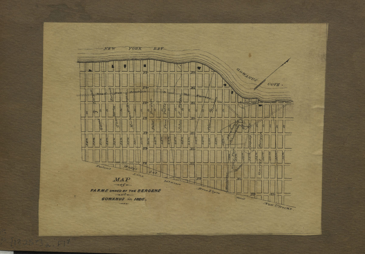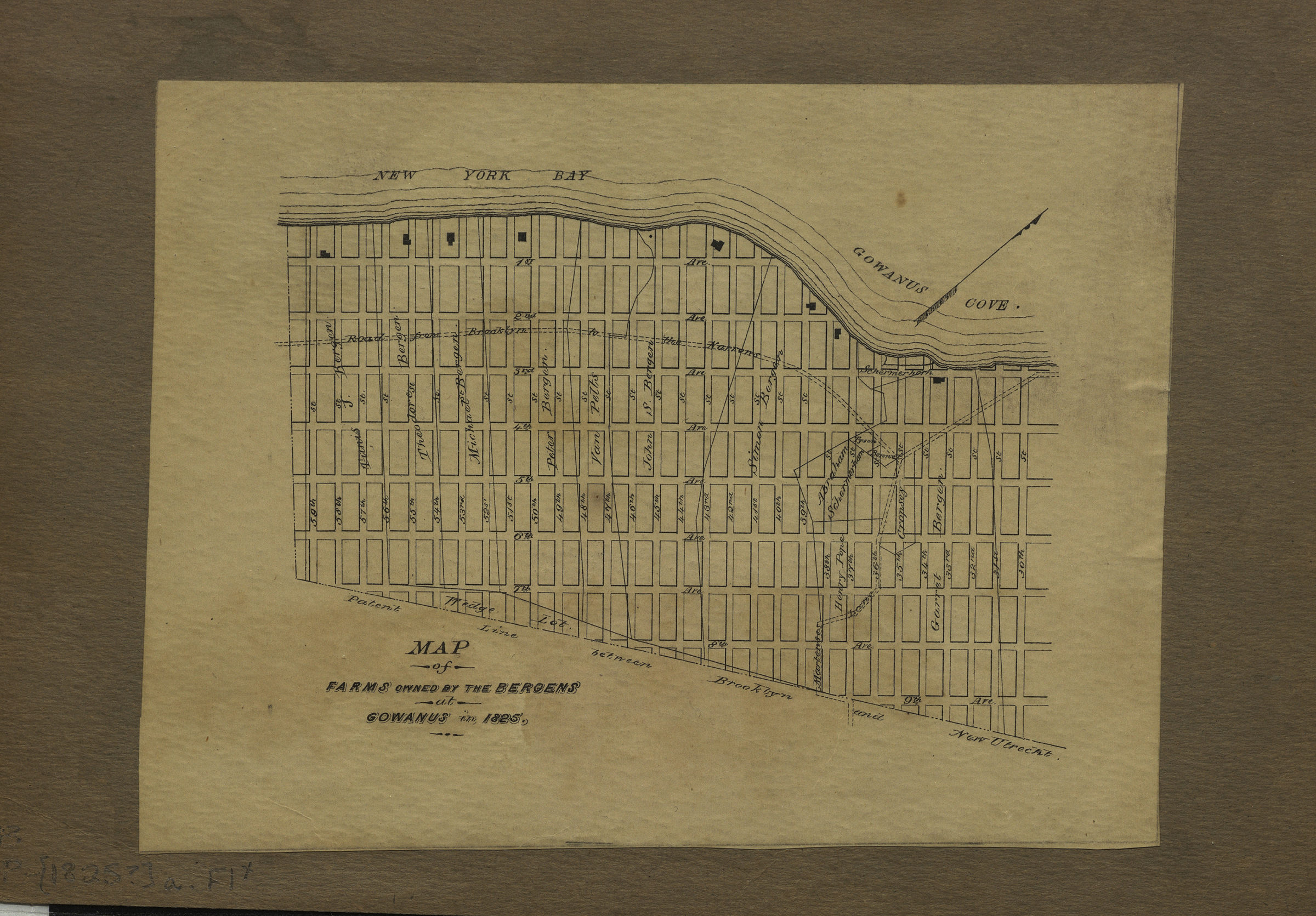
Map of farms owned by the Bergens at Gowanus in 1825 [1825]
Map No. B P-[1825?]a.Fl
Cadastral map covering area north from 59th St. to 30th St. and east from the waterfront to 9th Ave. (modern-day Sunset Park does not cover modern Gowanus neighborhood). Shows farm lines and names of landowners. Oriented with north to the upper right.
Map area shown
Genre
Cadastral mapsRelation
Full catalog recordSize
27 × 31 cmDownload
Low Resolution Image
Creator
Publisher
Brooklyn Historical SocietyCitation
Map of farms owned by the Bergens at Gowanus in 1825; [1825], Map Collection, B P-[1825?]a.Fl; Brooklyn Historical Society.Scale
Scale not givenLoading zoom image...