Map of Harlem Heights and plain, 1814 [1856]
Map No. M-1814 (1856).Fl
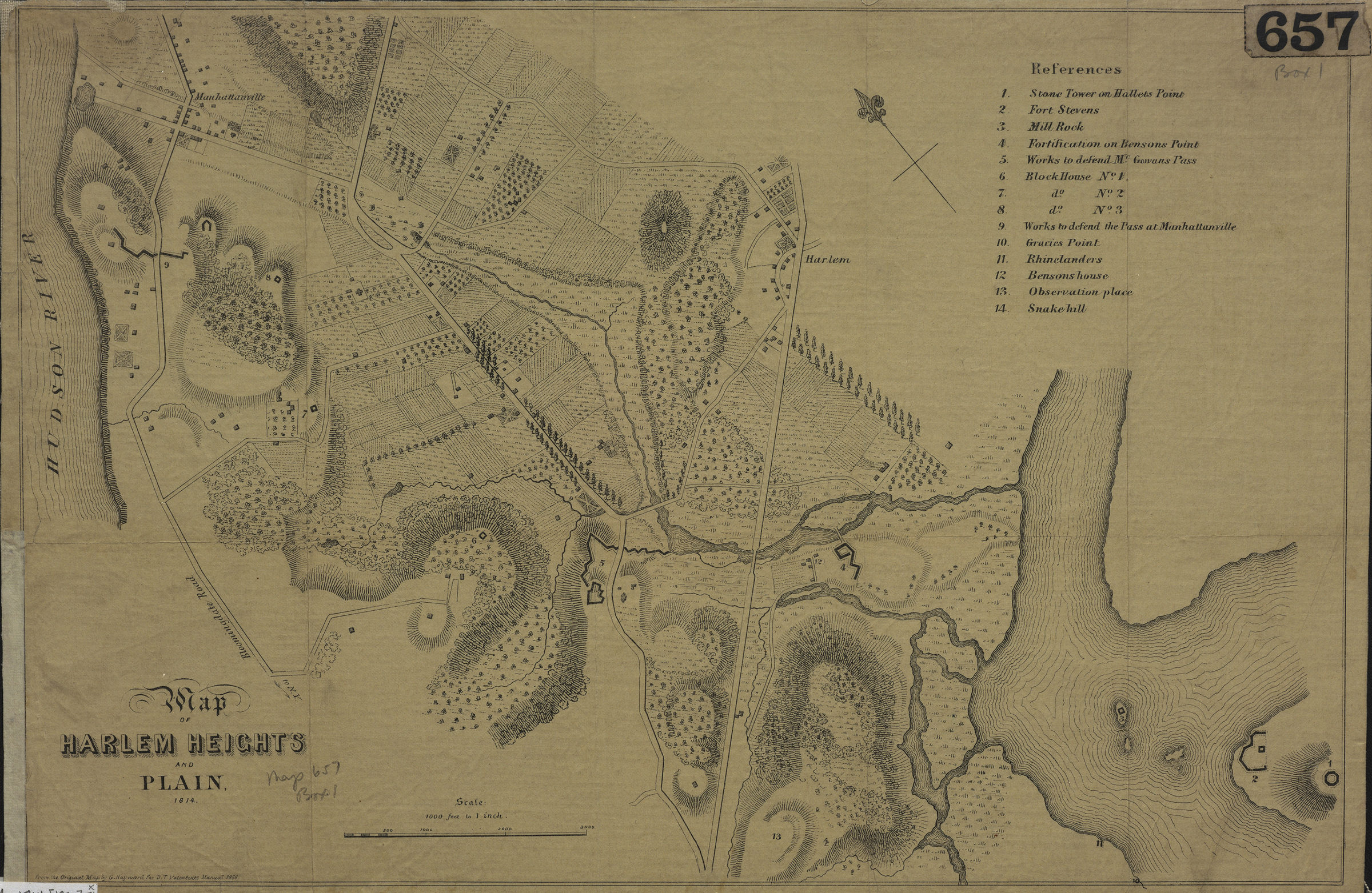
Facsimile showing War of 1812-era fortifications in present-day Morningside Heights. Relief shown by hachures. “From the Original Map by G. Hayward for D.T. Valentine’s Manual, 1856.” Oriented with north to the upper left. Includes index of defensive fortifications and sites. BHS copy mounted on linen.
Map area shown
Genre
MapRelation
Full catalog recordSize
28 × 42 cmDownload
Low Resolution Image
Creator
Hayward, George; Valentine, D. T.,Publisher
Brooklyn Historical SocietyCitation
Map of Harlem Heights and plain, 1814; [1856], Map Collection, M-1814 (1856).Fl; Brooklyn Historical Society.Scale
Scale: [1:12,000] 1 in toLoading zoom image... 