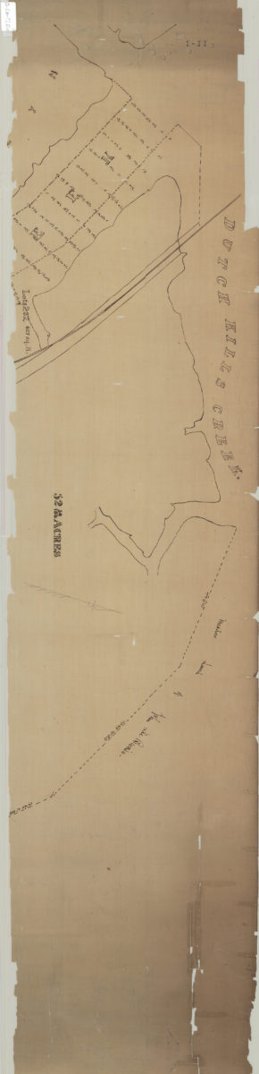
[Map of land near Dutch Kills Creek] [18??]
Map No. Q-[18--?].Fl.O
Cadastral map showing area in modern-day Long Island City. Shows property (including acreages), names of landowners, and meadowlands. Title devised by cataloger. Oriented with north to the upper right. Extracted from a larger map?
Map area shown
Relation
Full catalog recordSize
31 × 133 cmDownload
Low Resolution Image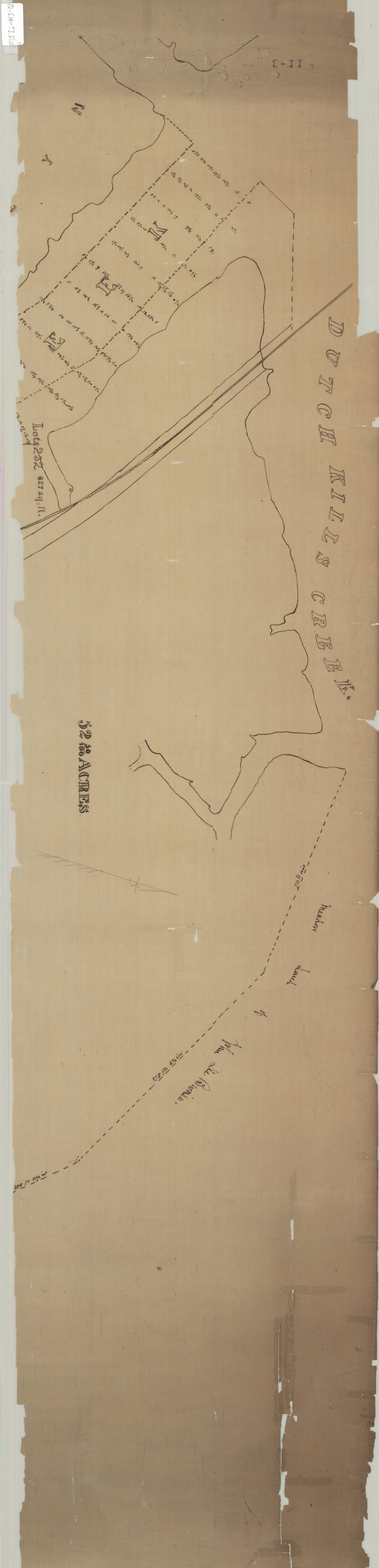
Creator
Publisher
Brooklyn Historical Society, Brooklyn Historical SocietyCitation
[Map of land near Dutch Kills Creek]; [18??], Map Collection, Q-[18--?].Fl.O; Brooklyn Historical Society.Scale
Scale not givenLoading zoom image...