
Map of land of William Williamson, situated in the 26th Ward of the city of Brooklyn, late of the town of New Lots, Kings County, N.Y., being land conveyed by Henry Cruger, May 15th, 1812: surveyed … by Samuel H. McElroy, civil engineer May 1886
Map No. B P-1886.Fl
Cadastral map covering Saratoga Ave. at East New York Ave. (modern-day Brownsville). Shows property (including lot numbers and dimensions), and names of landowners. Oriented with north to the upper right.
Map area shown
Relation
Full catalog recordSize
57 × 60 cmDownload
Low Resolution Image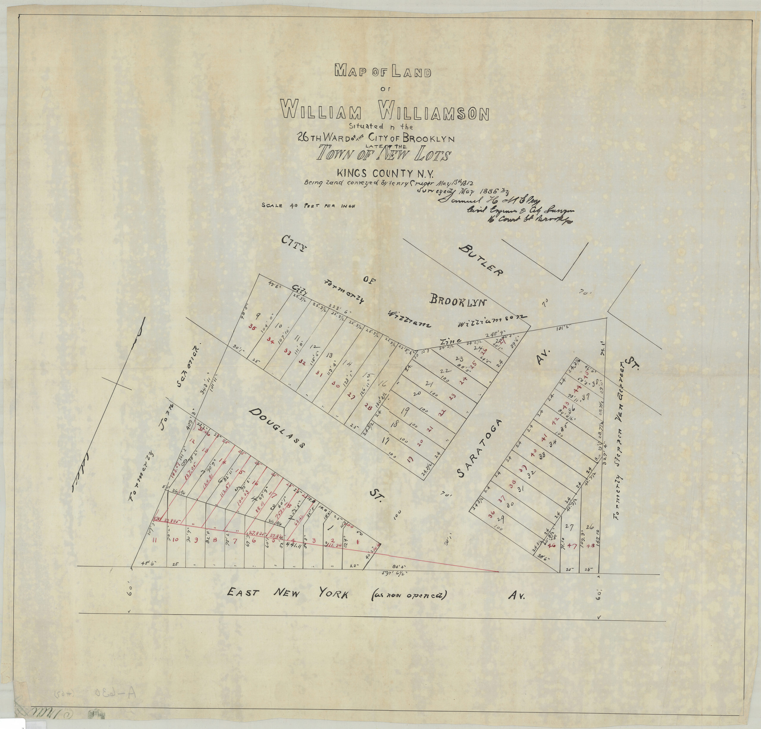
Creator
McElroy, Samuel,Publisher
Brooklyn Historical SocietyCitation
Map of land of William Williamson, situated in the 26th Ward of the city of Brooklyn, late of the town of New Lots, Kings County, N.Y., being land conveyed by Henry Cruger, May 15th, 1812: surveyed … by Samuel H. McElroy, civil engineer; May 1886, Map Collection, B P-1886.Fl; Brooklyn Historical Society.Scale
Scale [1:480] 1 in to 40Loading zoom image... 