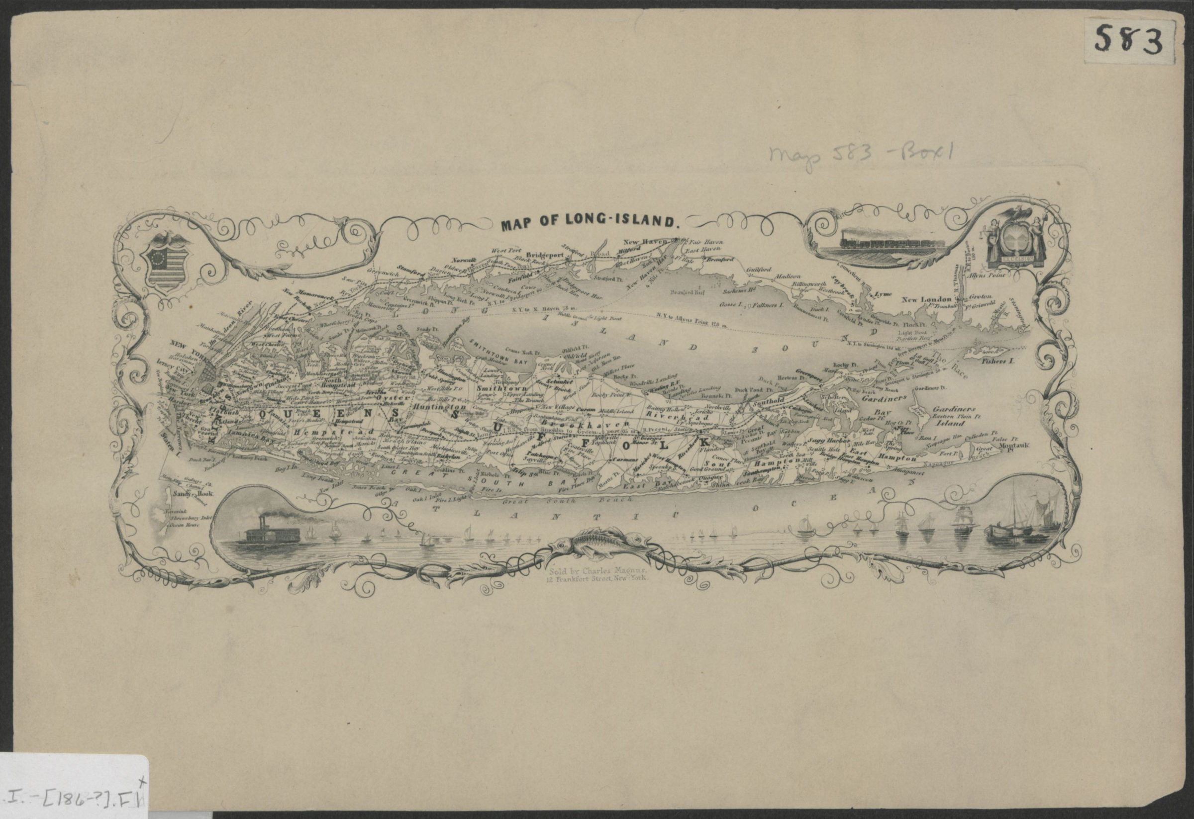
Map of Long Island [186?]
Map No. L.I.-[186-?].Fl
Also covers Long Island Sound and portions of New York City and the southern coast of Connecticut. Shows towns and railroads. Relief shown by hachures. “Sold by Charles Magnus, 12 Frankfort Street, New-York.” Includes decorative border and ill.
Places
Map area shown
Genre
MapRelation
Full catalog recordSize
19 × 28 cmDownload
Low Resolution Image
Creator
Magnus, Charles,Publisher
Brooklyn Historical SocietyCitation
Map of Long Island; [186?], Map Collection, L.I.-[186-?].Fl; Brooklyn Historical Society.Scale
Scale not givenLoading zoom image... 