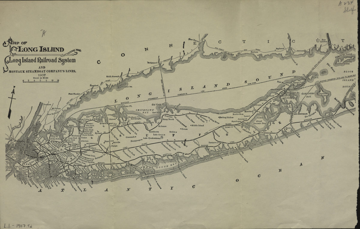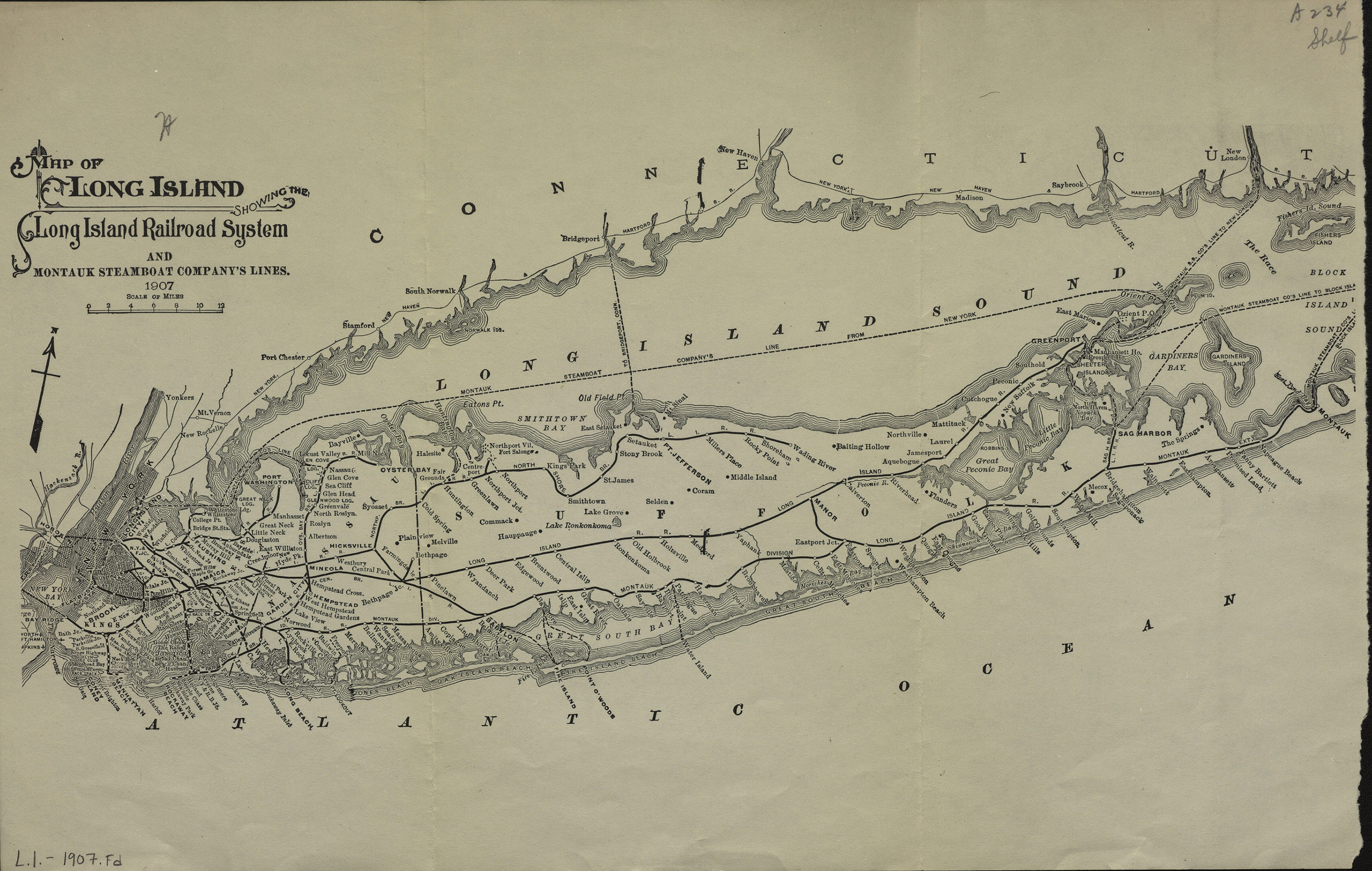
Map of Long Island showing the Long Island Railroad System and Montauk Steamboat Company’s Lines 1907
Map No. L.I.-1907.Fd
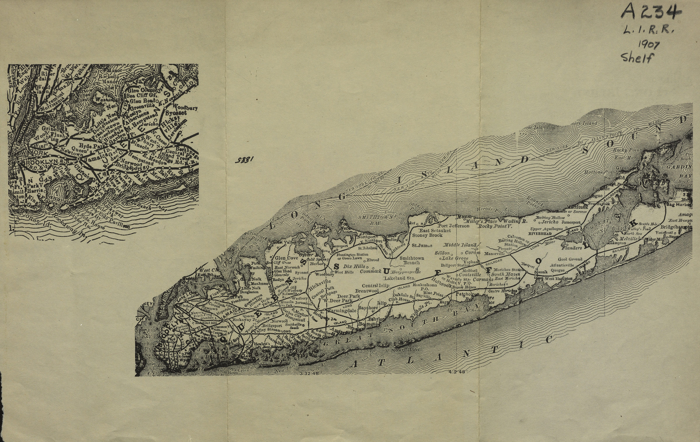
Also covers Manhattan, Long Island Sound, the Connecticut shore, and portions of New Jersey and Staten Island. Detached from an unidentified publication. On verso: 2 undated maps showing Long Island and Eastern Long Island.
Map area shown
Genre
Transportation mapsRelation
Full catalog recordSize
28 × 44 cmDownload
Low Resolution Image
Creator
Publisher
Brooklyn Historical SocietyCitation
Map of Long Island showing the Long Island Railroad System and Montauk Steamboat Company’s Lines; 1907, Map Collection, L.I.-1907.Fd; Brooklyn Historical Society.Scale
Scale approximately 1:449Loading zoom image...