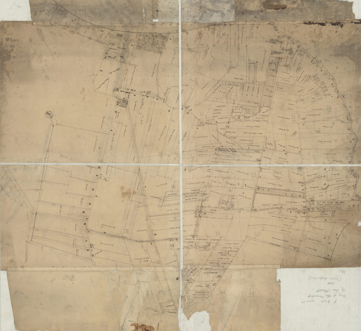
[Map of New Utrecht] [18??]
Map No. Bergen-[18--?]b.Fl
Cadastral map covering modern-day Bay Ridge, Fort Hamilton, Dyker Heights, Sunset Park, Borough Park, Bensonhurst, and Bath Beach. Shows property (including lots), and names of landowners. Title devised by cataloger. Likely attributed to Teunis Bergen, based on handwriting on piece.
Subjects
Places
Map area shown
Relation
Full catalog recordSize
90 × 98 cmDownload
Low Resolution Image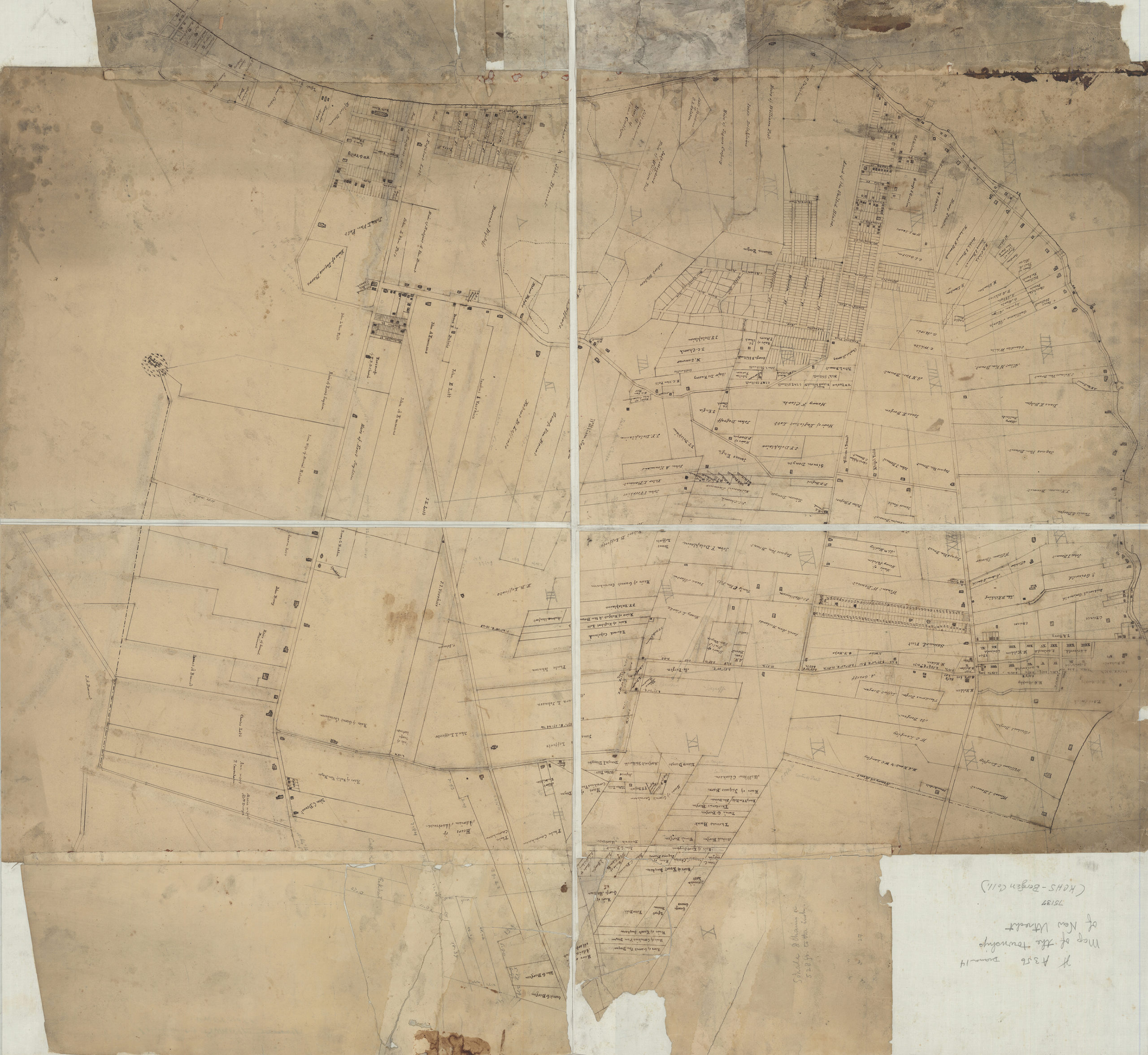
Creator
Bergen, Teunis G.,Publisher
Brooklyn Historical SocietyCitation
[Map of New Utrecht]; [18??], Map Collection, Bergen-[18--?]b.Fl; Brooklyn Historical Society.Scale
Scale not givenLoading zoom image...