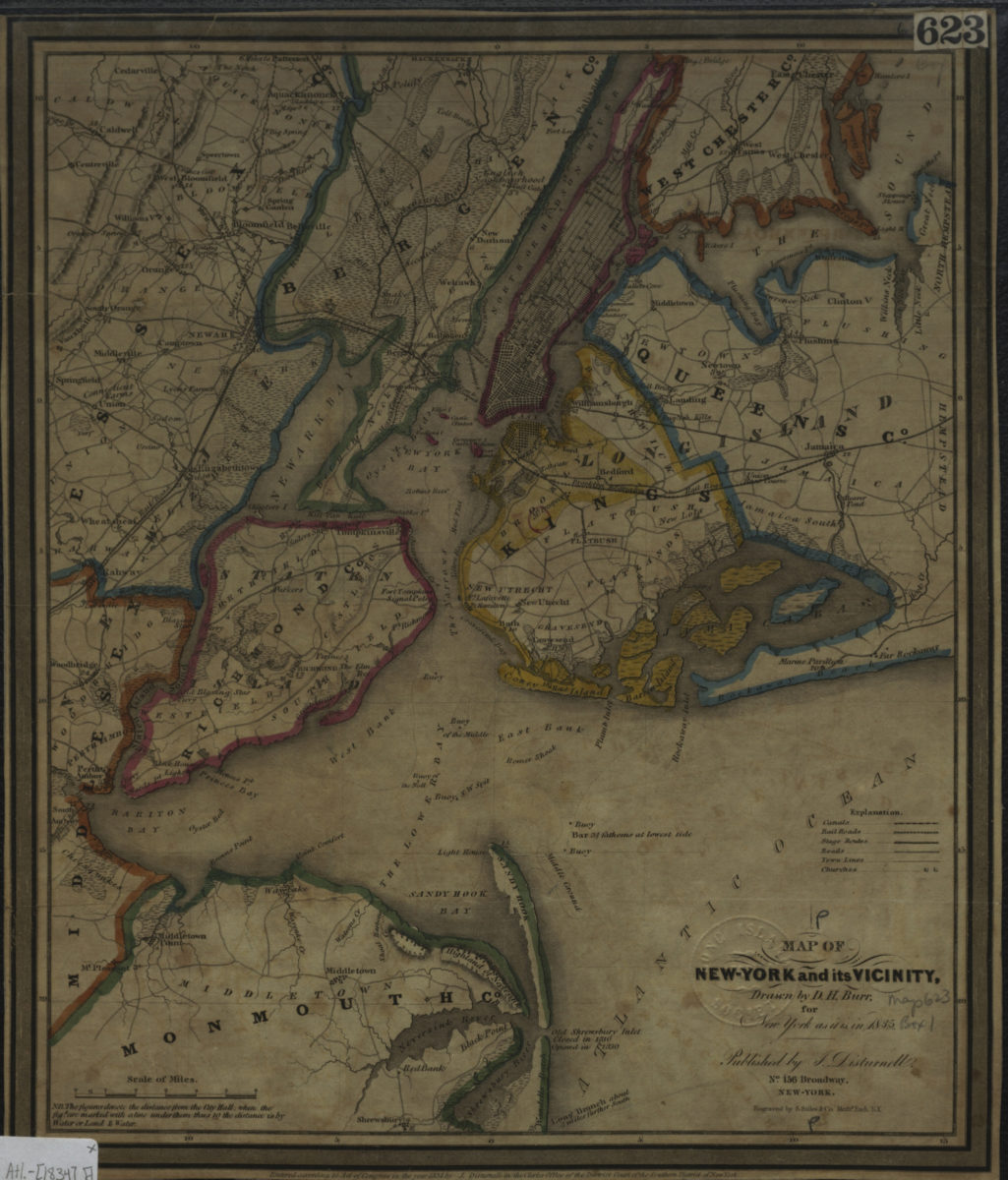
Map of New-York and its vicinity, for New York as it is in 1835: drawn by D.H. Burr [1834]
Map No. Mid Atl.-[1834].Fl
Covers the entirety of New York City and portions of eastern New Jersey. Shows canals, railroads, stage routes, town lines, churches, and distances from New York City Hall. Relief shown by hachures. Counties outlined by color. Includes key and note. “Entered according to Act of Congress in the year 1834 by J. Disturnell in the Clerks Office of the District Court of the Southern District of New York.”
Map area shown
Genre
MapRelation
Full catalog recordSize
30 × 25 cmDownload
Low Resolution Image
Creator
Burr, D. H.,Publisher
Brooklyn Historical SocietyCitation
Map of New-York and its vicinity, for New York as it is in 1835: drawn by D.H. Burr; [1834], Map Collection, Mid Atl.-[1834].Fl; Brooklyn Historical Society.Scale
Scale [1:196,217]Loading zoom image...