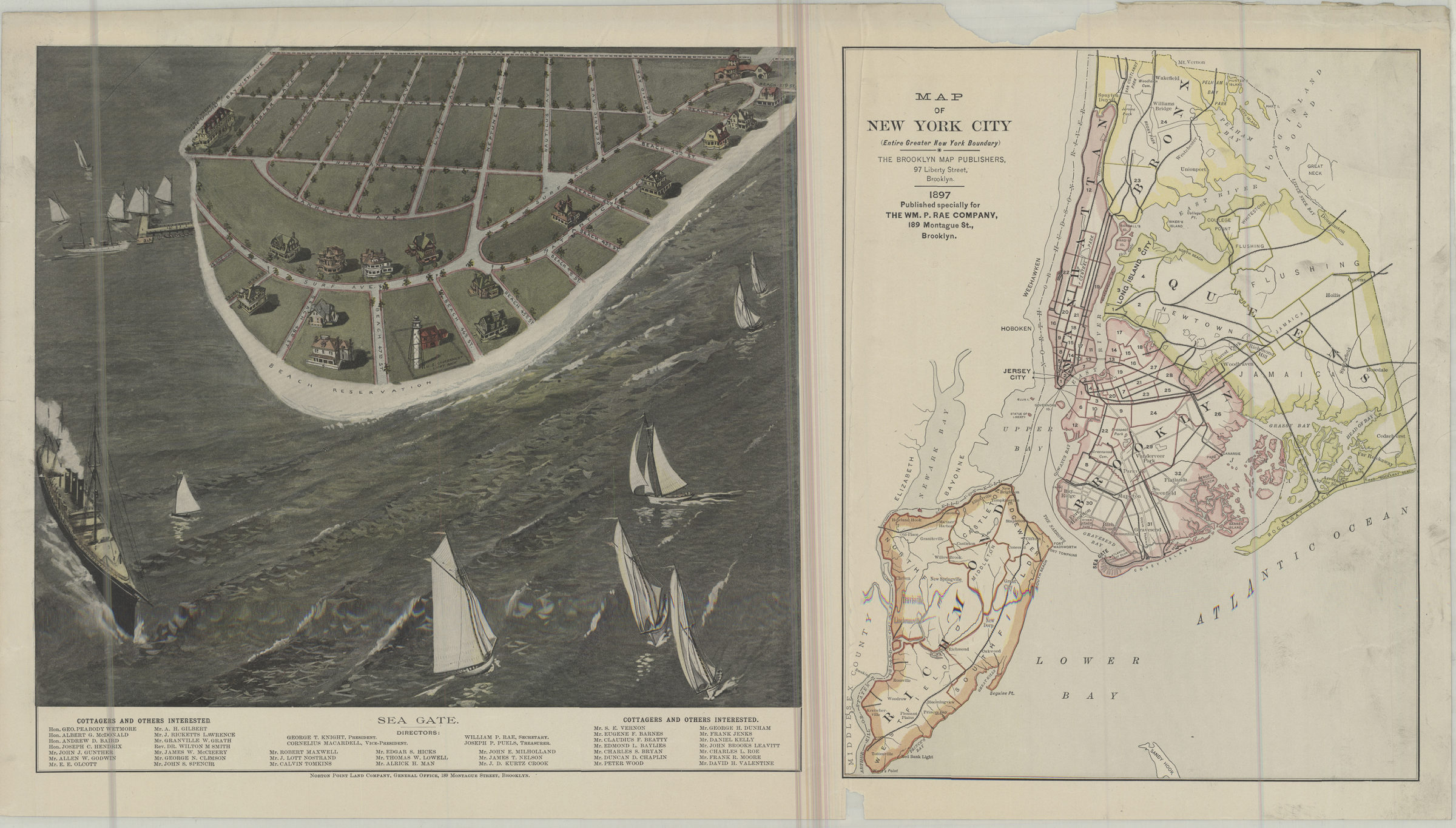
Map of New York City (entire greater New York boundary) ; Sea Gate 1897
Map No. NYC-1897a.Fl
“Map of New York City …” also covers portions of New Jersey. Shows Manhattan and Brooklyn wards. “Sea Gate” shows streets and residences. Buildings shown pictorially. Orientations differ. “Published specially for the Wm. P. Rae Company, 189 Montague St., Brooklyn.” Includes list of Sea Gate directors and “cottagers.”
Map area shown
Genre
MapRelation
Full catalog recordSize
34 × 37 cmDownload
Low Resolution Image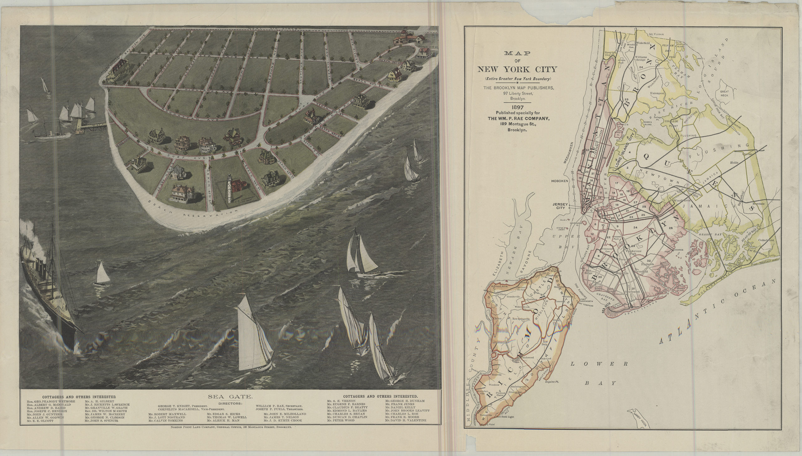
Creator
Brooklyn Map Publishers (Brooklyn, New York, N.Y.); Wm. P. Rae Company (Brooklyn, New York, N.Y.),Publisher
Brooklyn Historical SocietyCitation
Map of New York City (entire greater New York boundary) ; Sea Gate; 1897, Map Collection, NYC-1897a.Fl; Brooklyn Historical Society.Scale
Scale not givenLoading zoom image... 