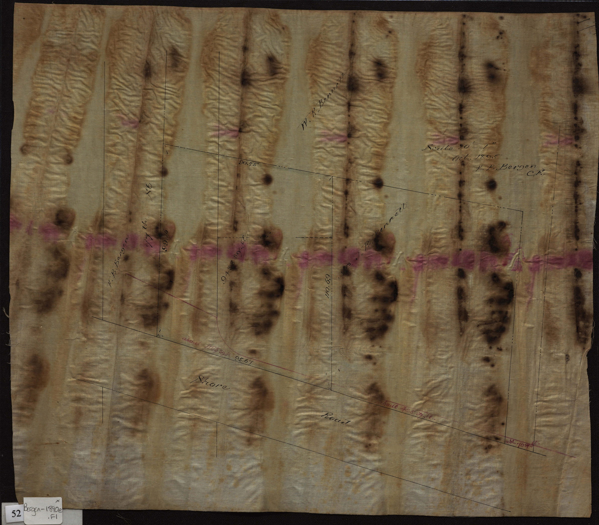
[Map of property at the southeast corner of 77th Street and Shore Road] 1895
Map No. Bergen-1890e.Fl
Cadastral map of area in modern-day Bay Ridge. Shows dimensions of properties and names of landowners. Title devised by cataloger. Attributed to Van Brunt Bergen, based on handwriting on piece. Water-damaged, stained.
Map area shown
Relation
Full catalog recordSize
33 × 39 cmDownload
Low Resolution Image
Creator
Bergen, Van Brunt,Publisher
Brooklyn Historical SocietyCitation
[Map of property at the southeast corner of 77th Street and Shore Road]; 1895, Map Collection, Bergen-1890e.Fl; Brooklyn Historical Society.Scale
Scale [1:240] 1 in to 20Loading zoom image... 