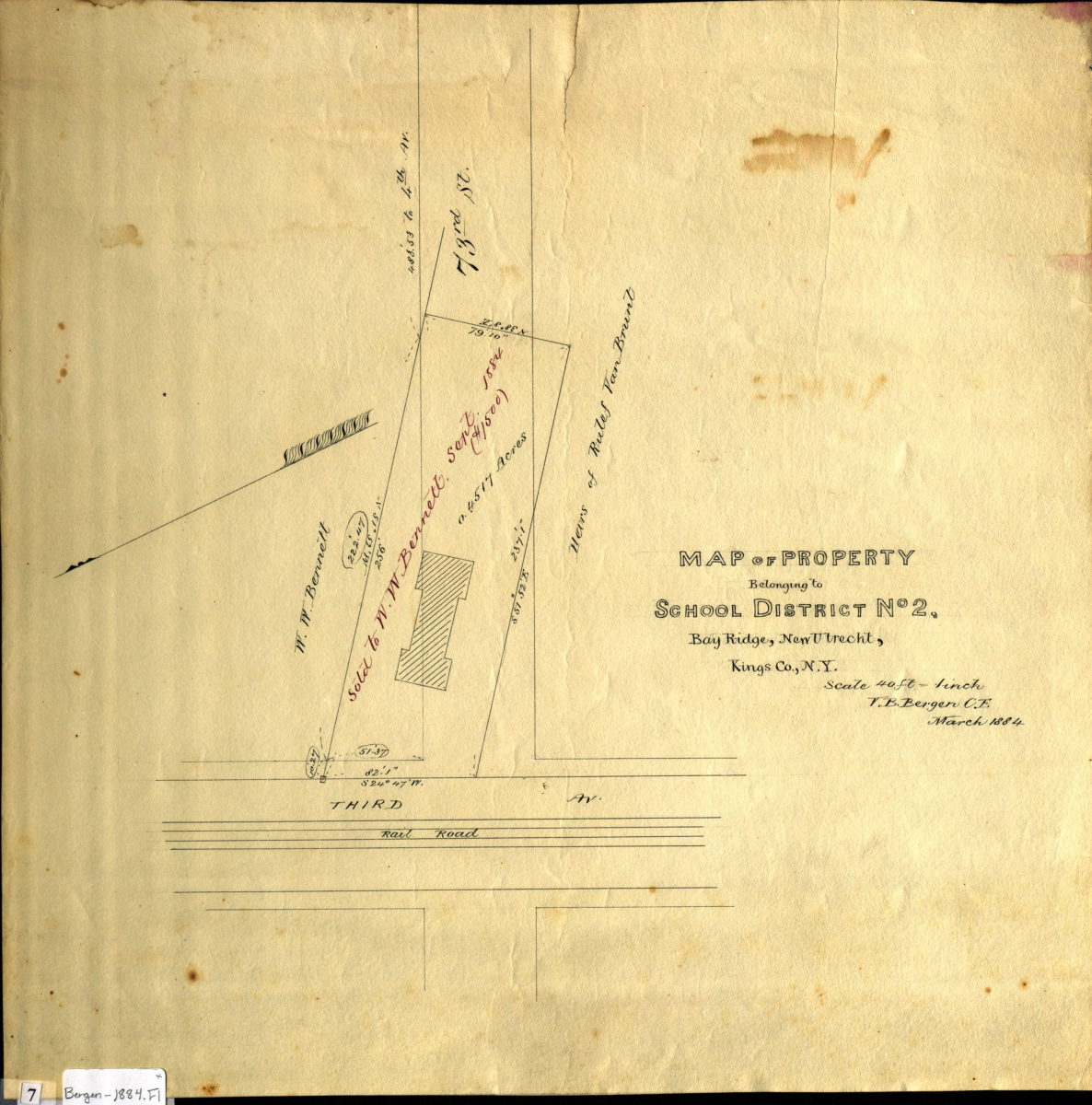
Map of property belonging to School District No. 2, Bay Ridge, New Utrecht, Kings Co., N.Y: V.B. Bergen, C.E. March 1884
Map No. Bergen-1884.Fl
Cadastral map covering 73rd St. at 3rd Ave. (modern-day Bay Ridge). Shows property (including dimensions and buildings), and names of landowners. Oriented with north to the lower left.
Map area shown
Relation
Full catalog recordSize
38 × 38 cmDownload
Low Resolution Image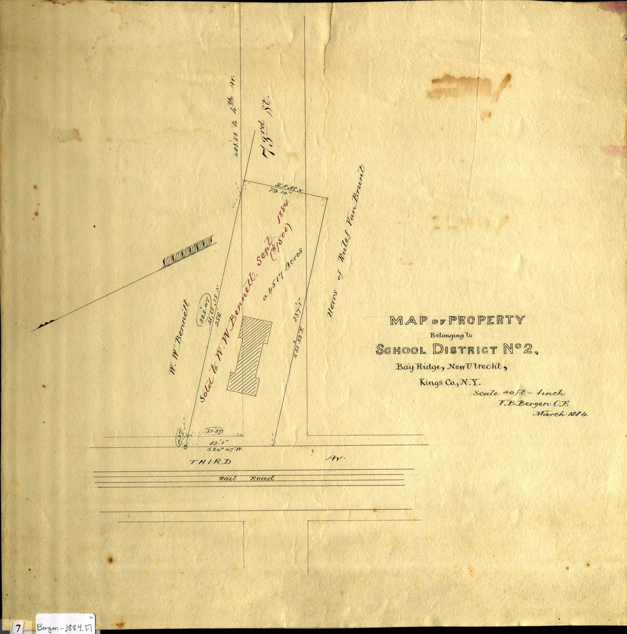
Creator
Bergen, Van Brunt,Publisher
Brooklyn Historical SocietyCitation
Map of property belonging to School District No. 2, Bay Ridge, New Utrecht, Kings Co., N.Y: V.B. Bergen, C.E.; March 1884, Map Collection, Bergen-1884.Fl; Brooklyn Historical Society.Scale
Scale [1:480] 1 in to 40Loading zoom image...