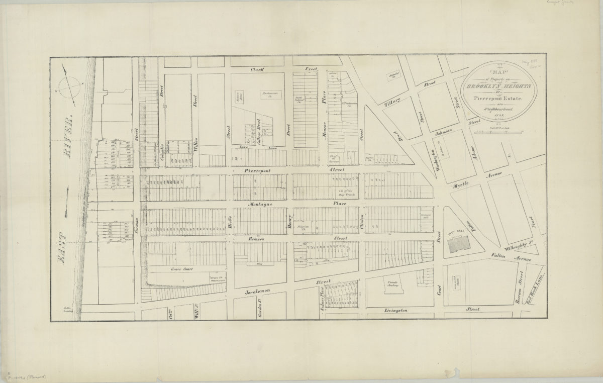
Map of property on Brooklyn Heights of Pierrepont Estate and neighbourhood 1849
Map No. B P-1849.Fl.Folio
Cadastral map covering area north from Livingston St. to Clark St. and west from Red Hook Lane to the East River. Shows property (including lot numbers, dimensions, and buildings), churches, City Hall, and a female academy (later the Packer Collegiate Institute). Relief shown by hachures. BHS has 2 copies.
Map area shown
Genre
Cadastral mapsRelation
Full catalog recordSize
43 × 80 cmDownload
Low Resolution Image
Creator
Publisher
Brooklyn Historical SocietyCitation
Map of property on Brooklyn Heights of Pierrepont Estate and neighbourhood; 1849, Map Collection, B P-1849.Fl.Folio; Brooklyn Historical Society.Scale
Scale [1:1,440] 1 in to 1Loading zoom image...