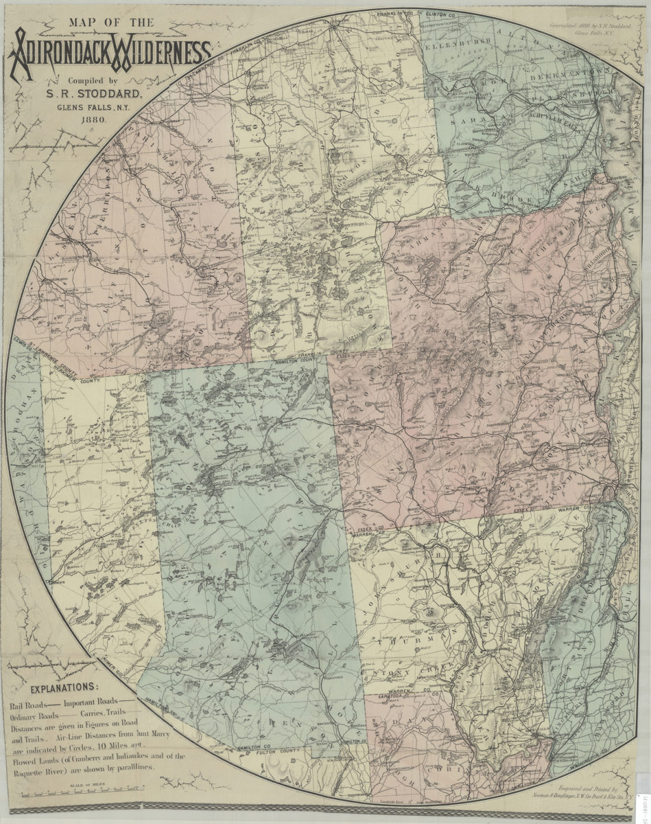
Map of the Adirondack wilderness: compiled by S.R. Stoddard 1880
Map No. NYS-1880.Fl
Shows county lines, railroads, trails, and distances. Relief shown by hachures and spot heights. Prime meridians: Greenwich and Washington. Latitude not indicated. “Copyrighted 1880 by S.R. Stoddard, Glens Falls N.Y.” Right side cropped at 61 cm. from leftmost point from center. Incudes key.
Map area shown
Genre
MapRelation
Full catalog recordSize
77 × 61 cmDownload
Low Resolution Image
Creator
Stoddard, Seneca Ray,Publisher
Brooklyn Historical SocietyCitation
Map of the Adirondack wilderness: compiled by S.R. Stoddard; 1880, Map Collection, NYS-1880.Fl; Brooklyn Historical Society.Scale
Scale [ca. 1:250,000]Loading zoom image...