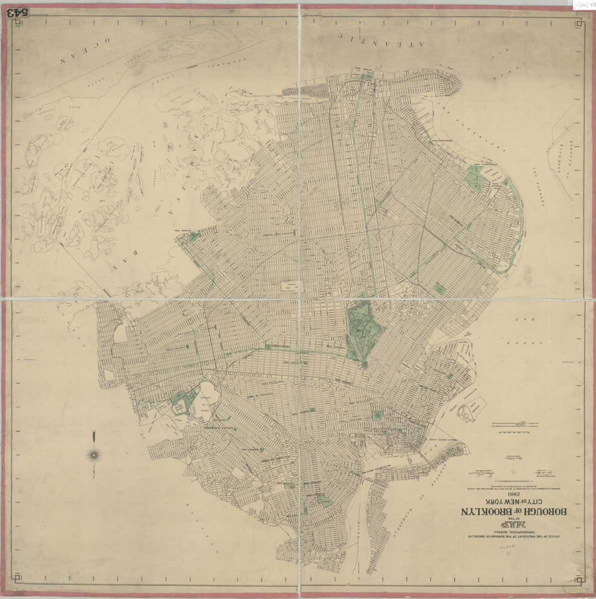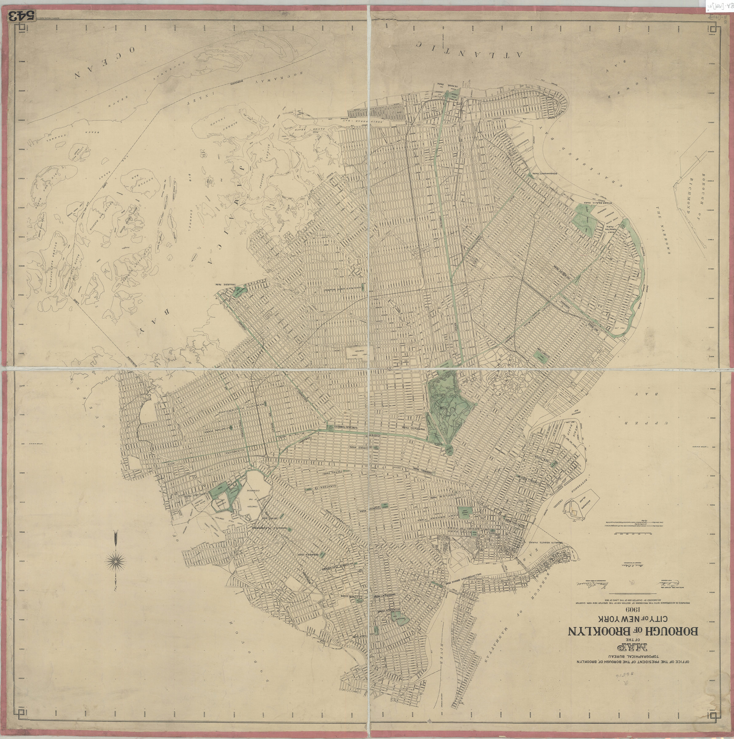
Map of the Borough of Brooklyn, City of New York, 1909: Office of the President of the Borough of Brooklyn, Topographical Bureau Oct-09
Map No. B A-[1909].Fl
Street map covers the Borough of Brooklyn, including a portion of Jamaica Bay. Also shows lower Manhattan to complete the span of the East River bridges. Shows parks and parkways highlighted in green. “Prepared in accordance with the provisions of Section 439 of the Greater New York Charter as amended by Chapter 406 of the Laws of 1903.” BHS copy dissected and mounted on linen.
Map area shown
Genre
MapRelation
Full catalog recordSize
90 × 90 cmDownload
Low Resolution Image
Creator
Brooklyn (New York, N.Y.).; Topographical Bureau,Publisher
Brooklyn Historical SocietyCitation
Map of the Borough of Brooklyn, City of New York, 1909: Office of the President of the Borough of Brooklyn, Topographical Bureau; Oct-09, Map Collection, B A-[1909].Fl; Brooklyn Historical Society.Scale
Scale approximately 1:24,Loading zoom image...