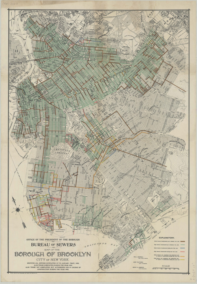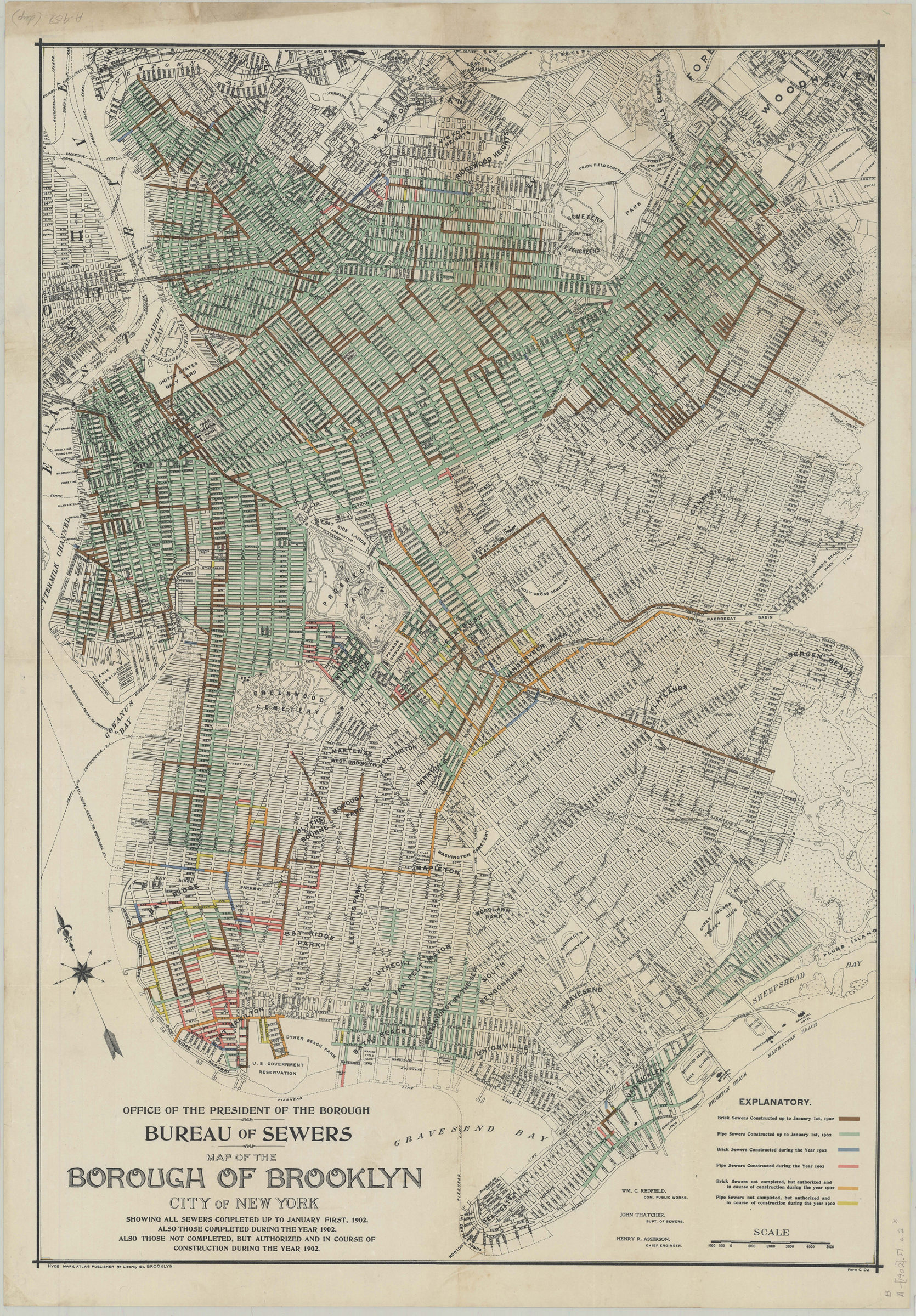
Map of the borough of Brooklyn, city of New York: showing all sewers completed up to January first, 1902. Also those completed during the year 1902. Also those not completed, but authorized and in course of construction during the year 1902 [1902]
Map No. B A-[1902].Fl
Shows brick and pipe sewers coded by color. Also shows cemeteries, ferry lines, pierhead and bulkhead lines, and portions of lower Manhattan and Queens. Oriented with north to the upper left. “Wm. C. Redfield, Com. Public Works.” “John Thatcher, Supt. of Sewers.” “Henry R. Asserson, Chief Engineer.” Includes key. “Form C..O2”–Lower right. BHS has 2 copies: copy 1 annotated in red pencil.
Map area shown
Genre
Public utility mapsRelation
Full catalog recordSize
82 × 56 cmDownload
Low Resolution Image
Creator
Redfield, William Cox; Thatcher, John; Asserson, Henry R.; Hyde, E. Belcher; Brooklyn (New York, N.Y.),Publisher
Brooklyn Historical SocietyCitation
Map of the borough of Brooklyn, city of New York: showing all sewers completed up to January first, 1902. Also those completed during the year 1902. Also those not completed, but authorized and in course of construction during the year 1902; [1902], Map Collection, B A-[1902].Fl; Brooklyn Historical Society.Scale
Scale [ca. 1:22,857]Loading zoom image...