Map of the Borough of Brooklyn showing street pavements Jan. 1st, 1925 1925
Map No. B C-1925.Fl.F
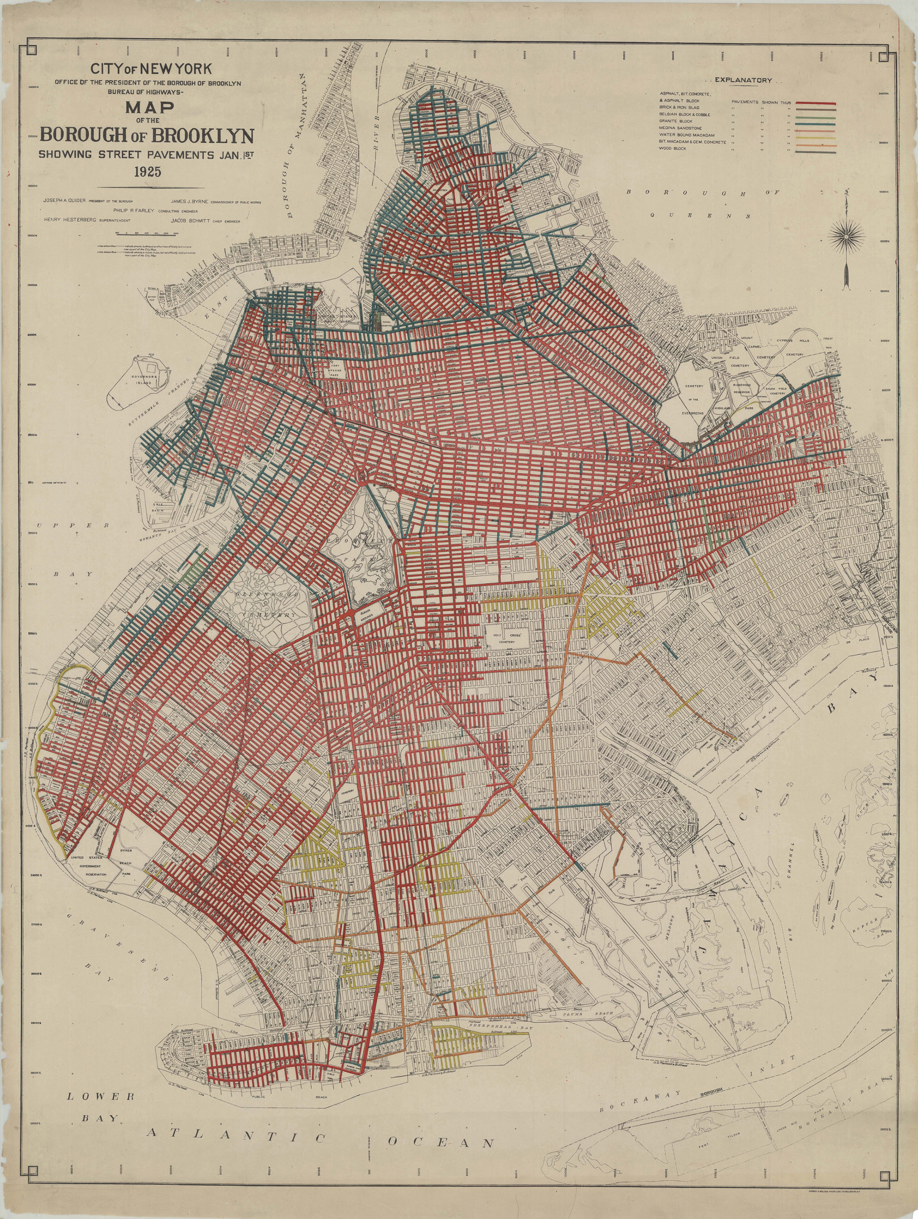
Shows streets by pavement (e.g. asphalt, brick, cobble, granite, sandstone, macadam, wood block).
Map area shown
Genre
Thematic mapsRelation
Full catalog recordSize
94 × 73 cmDownload
Low Resolution Image
Creator
Brooklyn (New York, N.Y.).; Office of Brooklyn Borough President.; Bureau of Highways,Publisher
Brooklyn Historical SocietyCitation
Map of the Borough of Brooklyn showing street pavements Jan. 1st, 1925; 1925, Map Collection, B C-1925.Fl.F; Brooklyn Historical Society.Scale
Scale approximately 1:23,Loading zoom image... 