
Map of the city of Brooklyn 1858
Map No. B A-1858.Fl
Covers the city of Brooklyn north from 59th St. to Greenpoint and east to Cemetery of the Evergreens. Shows wards and ferry slips. Oriented with north to the lower left.
Map area shown
Genre
MapRelation
Full catalog recordSize
26 × 39 cmDownload
Low Resolution Image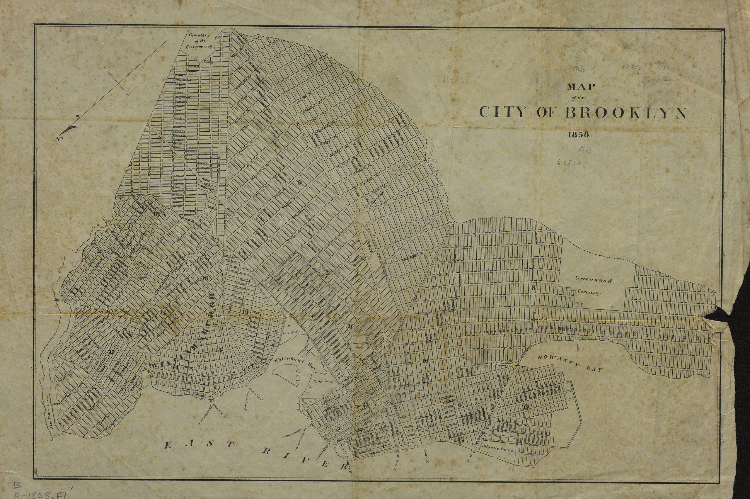
Creator
Publisher
Brooklyn Historical SocietyCitation
Map of the city of Brooklyn; 1858, Map Collection, B A-1858.Fl; Brooklyn Historical Society.Scale
Scale not givenLoading zoom image... 