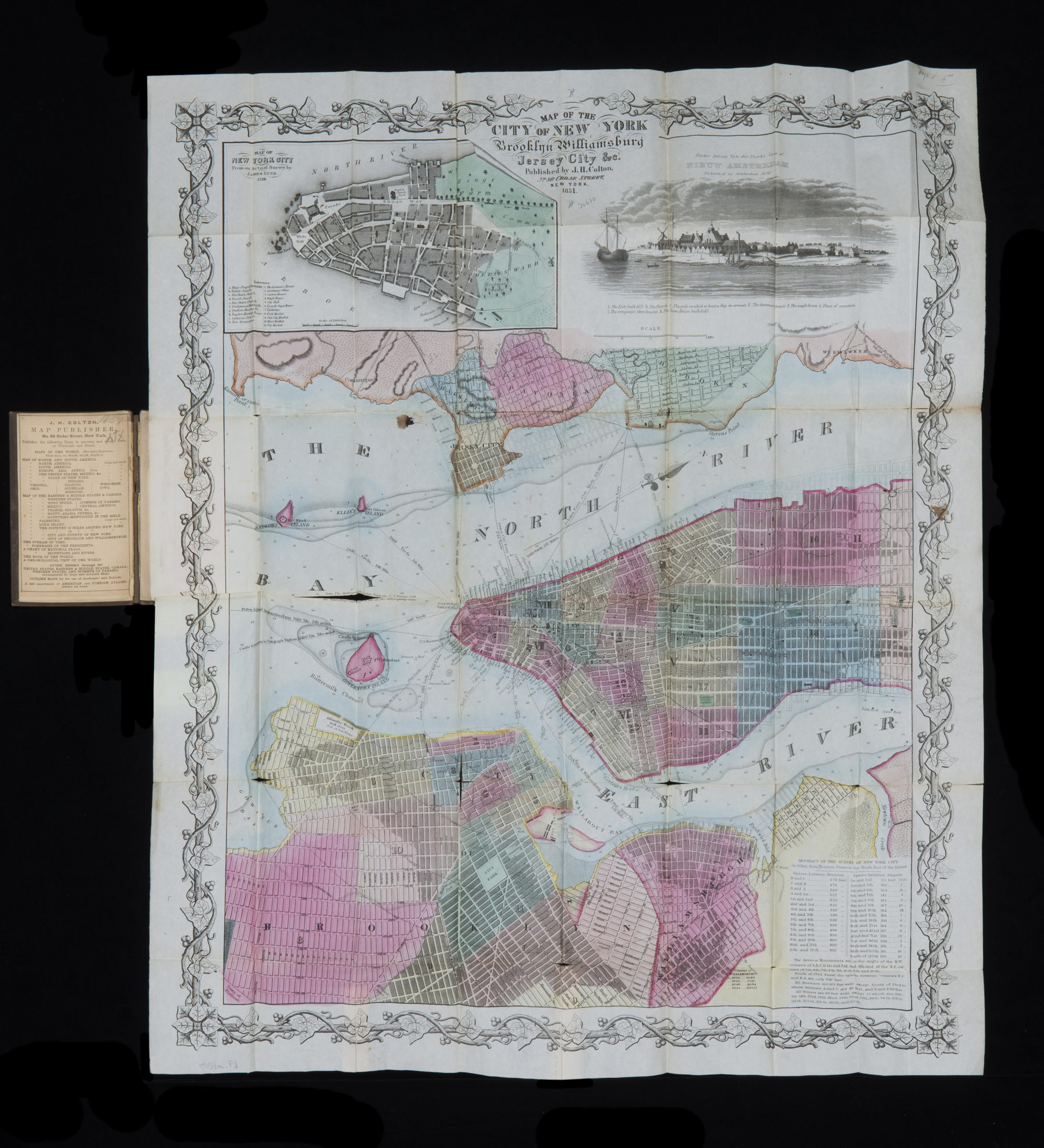
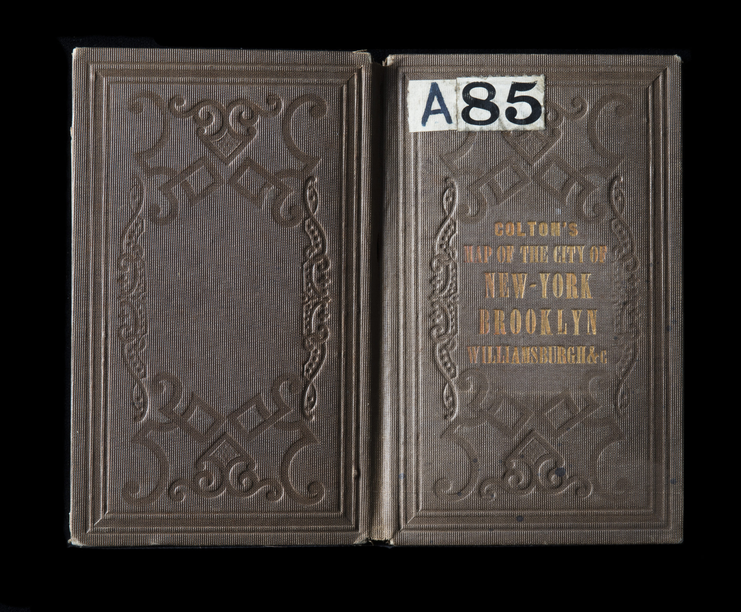
Map of the city of New York, Brooklyn, Williamsburg, Jersey City &c 1851
Covers Manhattan north to 45th St also covers Brooklyn north from 24th St. to Green Point and east to Mt. Prospect Square. Covers Governors Island, Bedlows Island, Ellis’s Island, and portions of southern Queens, Weehawken, Hoboken, and Jersey City. Shows wards, slips (including names of docking lines), piers, ferry lines, historical information, and (street grid under construction?). Relief shown by hachures. Depths shown by bathymetric tints, gradient tints (dotted), and soundings. Oriented with north to the upper right. Cover title in gilt on embossed, brown fabric cover. Includes inset, text, view, and decorative border. Inset: Map of New York City / from an actual survey by James Lyne, 1728. (Scale [ca. 1:18,750] Indexed). View: Doctor Adrien Van der Dunk’s view of Nieuw Amsterdam (Indexed). On inside cover: Publisher’s list.
Map area shown