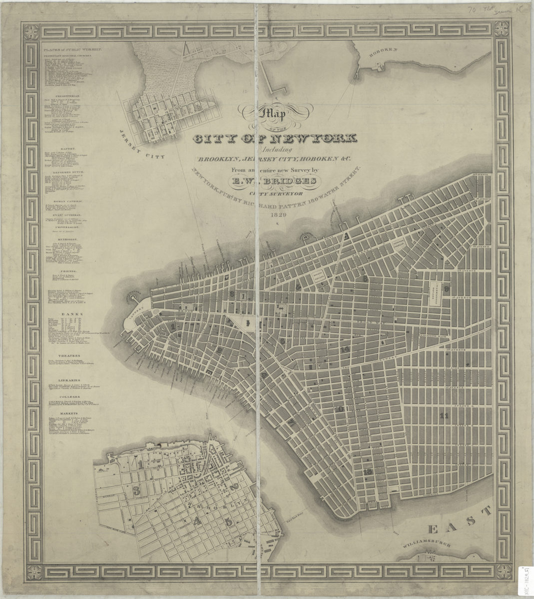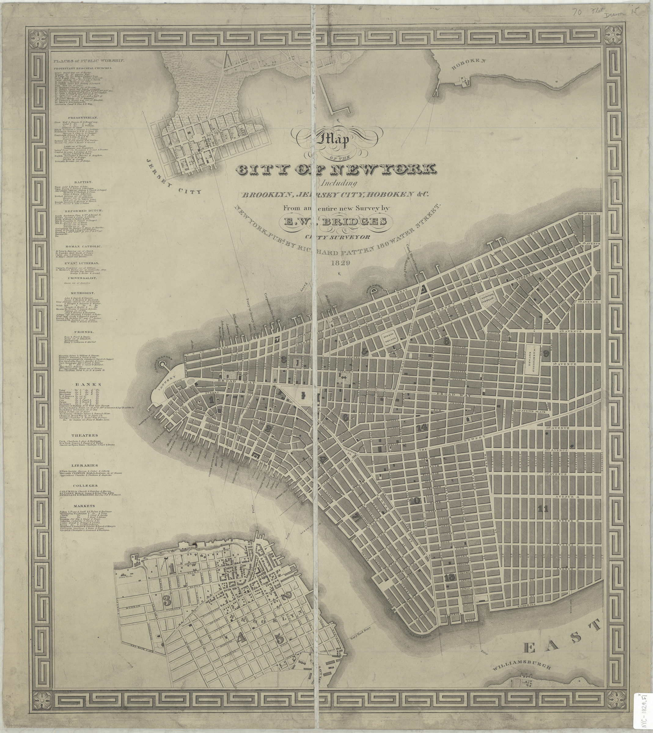
Map of the city of New York: including Brooklyn, Jersey City, Hoboken &c. : from an entire new survey: by E.W. Bridges, city surveyor 1829
Map No. NYC-1829.Fl
Covers Manhattan north to 14th St. Also shows portions of Brooklyn Heights, Williamsburgh, Hoboken, and Jersey City. Shows wards in Manhattan and Brooklyn Heights also shows ferry lines. Oriented with north to the right. Includes decorative border and lists of churches, banks, theatres, libraries, colleges, and markets.
Map area shown
Genre
MapRelation
Full catalog recordSize
62 × 53 cmDownload
Low Resolution Image
Creator
Bridges, Edward W.,Publisher
Brooklyn Historical SocietyCitation
Map of the city of New York: including Brooklyn, Jersey City, Hoboken &c. : from an entire new survey: by E.W. Bridges, city surveyor; 1829, Map Collection, NYC-1829.Fl; Brooklyn Historical Society.Scale
Scale [ca. 1:10,138]Loading zoom image...