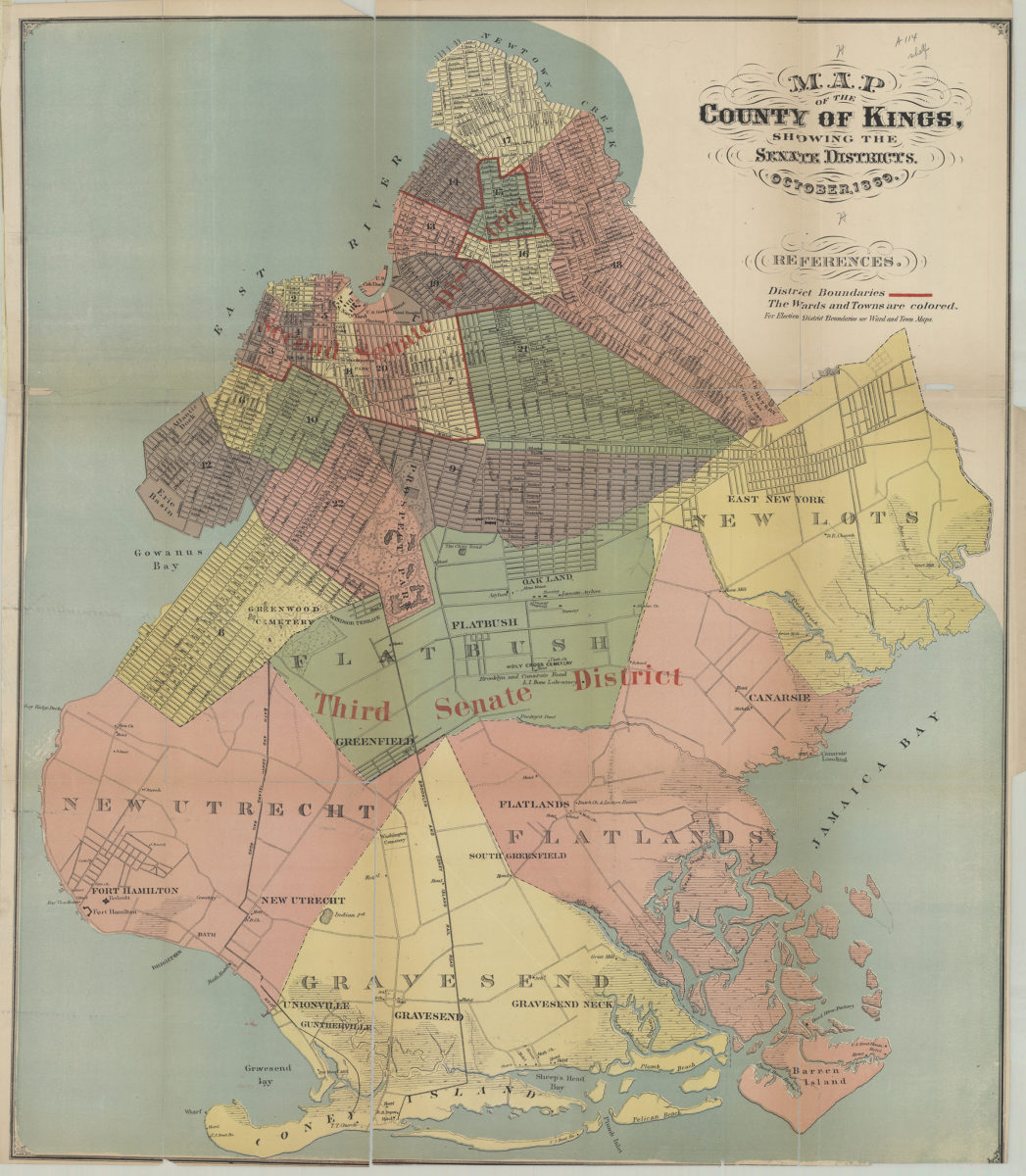
Map of the county of Kings, showing the Senate districts October 1869
Map No. B A-1869d.Fl
Covers the city of Brooklyn south to 60th St., north to Greenpoint, and east to the Cemetery of the Evergreens. Minimally details New Lots, Flatbush, New Utrecht, Gravesend, and Flatlands. Shows wards, railroads, churches, hotels, and public buildings. Relief shown by hachures. Includes text.
Map area shown
Genre
MapRelation
Full catalog recordSize
62 × 53 cmDownload
Low Resolution Image
Creator
Publisher
Brooklyn Historical SocietyCitation
Map of the county of Kings, showing the Senate districts; October 1869, Map Collection, B A-1869d.Fl; Brooklyn Historical Society.Scale
Scale not givenLoading zoom image...