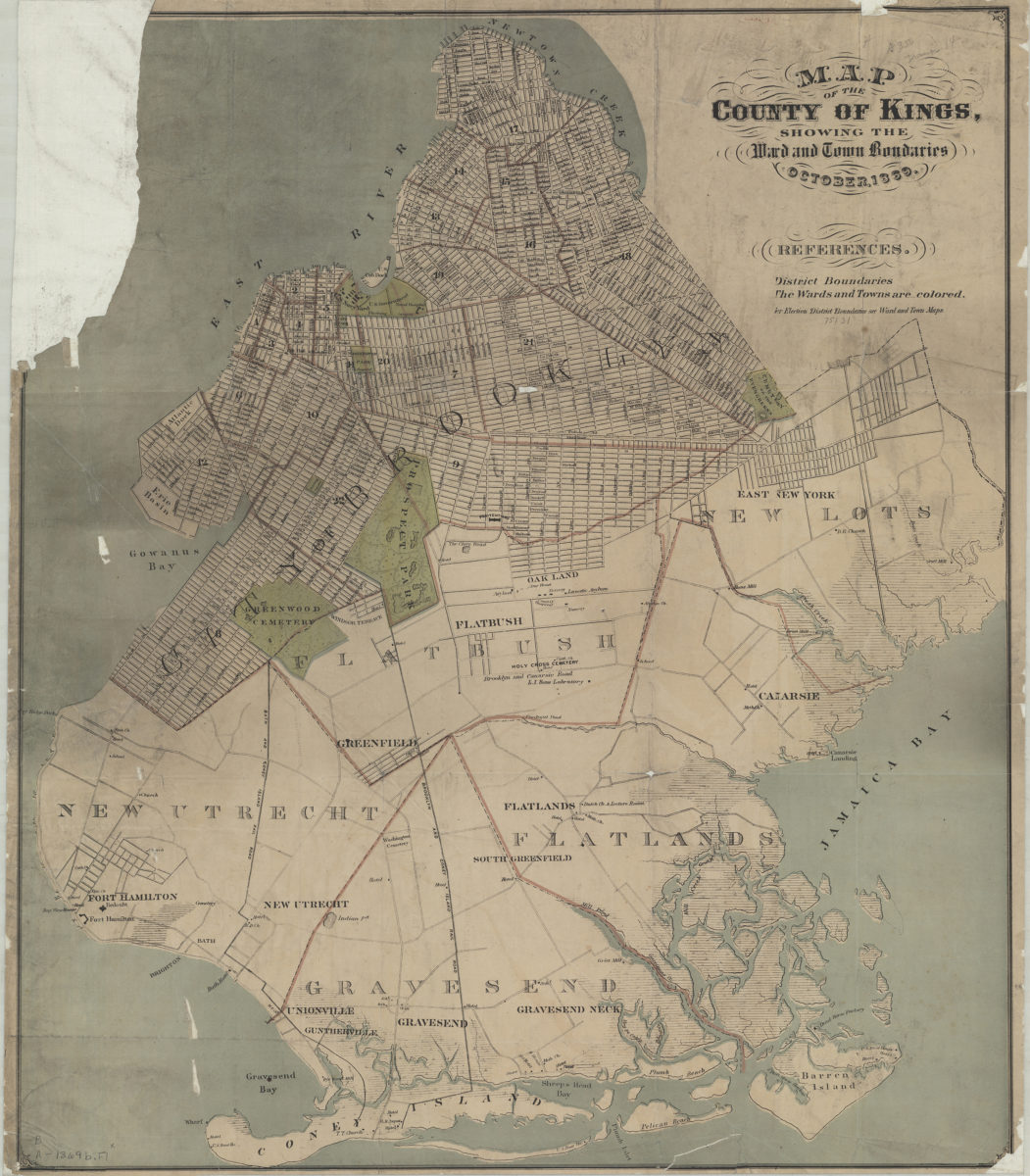
Map of the county of Kings showing the ward and town boundaries October 1869
Map No. B A-1869b.Fl;B A-1869b.Fl c.2
Covers the city of Brooklyn south to 60th St., north to Greenpoint, and east to the Cemetery of the Evergreens. Minimally details New Lots, Flatbush, New Utrecht, Gravesend, and Flatlands. Shows wards, businesses, and railroad lines. Ward and town divisions outlined in red. Includes text. BHS has 2 copies. BHS copy 1 imperfect missing upper left corner.
Map area shown
Genre
Zoning mapsRelation
Full catalog recordSize
61 × 53 cmDownload
Low Resolution Image
Creator
Publisher
Brooklyn Historical SocietyCitation
Map of the county of Kings showing the ward and town boundaries; October 1869, Map Collection, B A-1869b.Fl;B A-1869b.Fl c.2; Brooklyn Historical Society.Scale
Scale not givenLoading zoom image...