Map of the county of Oneida: by David H. Burr [1829]
Map No. NYS-[1829].Folded
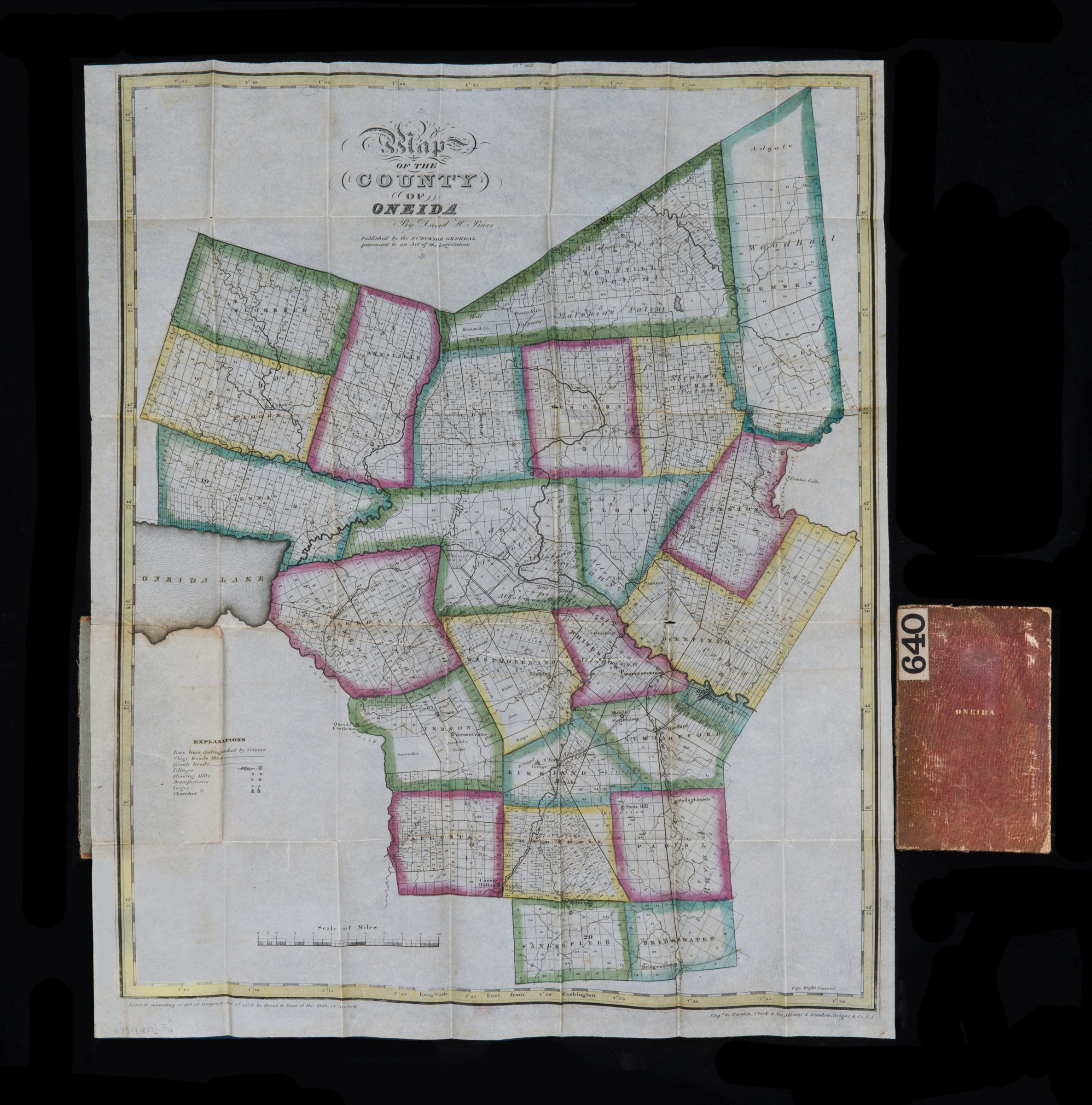
Shows town lines, county and stage roads, flouring mills, factories, forges, saw mills, churches, parcels, and names of landowners. “Entered according to Act of Congress Jany 5th. 1829 by David H. Burr of the state of New York.” Prime meridian: Washington, D.C. “Published … pursuant to an Act of Legislature.” “Engd. by Rawdon, Clark & Co., Albany, & Rawdon, Wright & Co., N.Y.” Includes key. “No. 29”–Upper center margin. BHS copy folded in cover 14 x 9 cm. Cover title: Oneida.
Map area shown
Genre
Cadastral mapsRelation
Full catalog recordSize
52 × 41 cmDownload
Low Resolution Image
Creator
Burr, David H.,Publisher
Brooklyn Historical SocietyCitation
Map of the county of Oneida: by David H. Burr; [1829], Map Collection, NYS-[1829].Folded; Brooklyn Historical Society.Scale
Scale [ca. 1:151,000]Loading zoom image... 