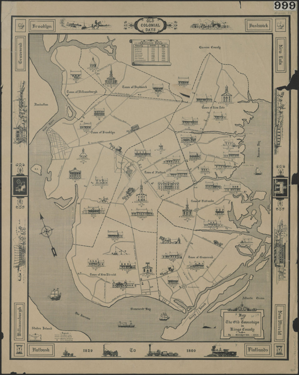
Map of the old townships in Kings County: by G.V.S. Ryerson 1944
Map No. B A-17th century-19th century (1944).Fl
Pictorial map showing Brooklyn’s administrative boundaries pre-consolidation. Also shows old Dutch roads and historical churches and estates (includes historical data and names of property owners indicates whether buildings were standing as of 1944). Relief shown pictorially. Oriented with north to the upper left. Keyed to index no index present. Includes text, key, ill., and decorative border.
Map area shown
Genre
Pictorial mapsRelation
Full catalog recordSize
53 × 42 cmDownload
Low Resolution Image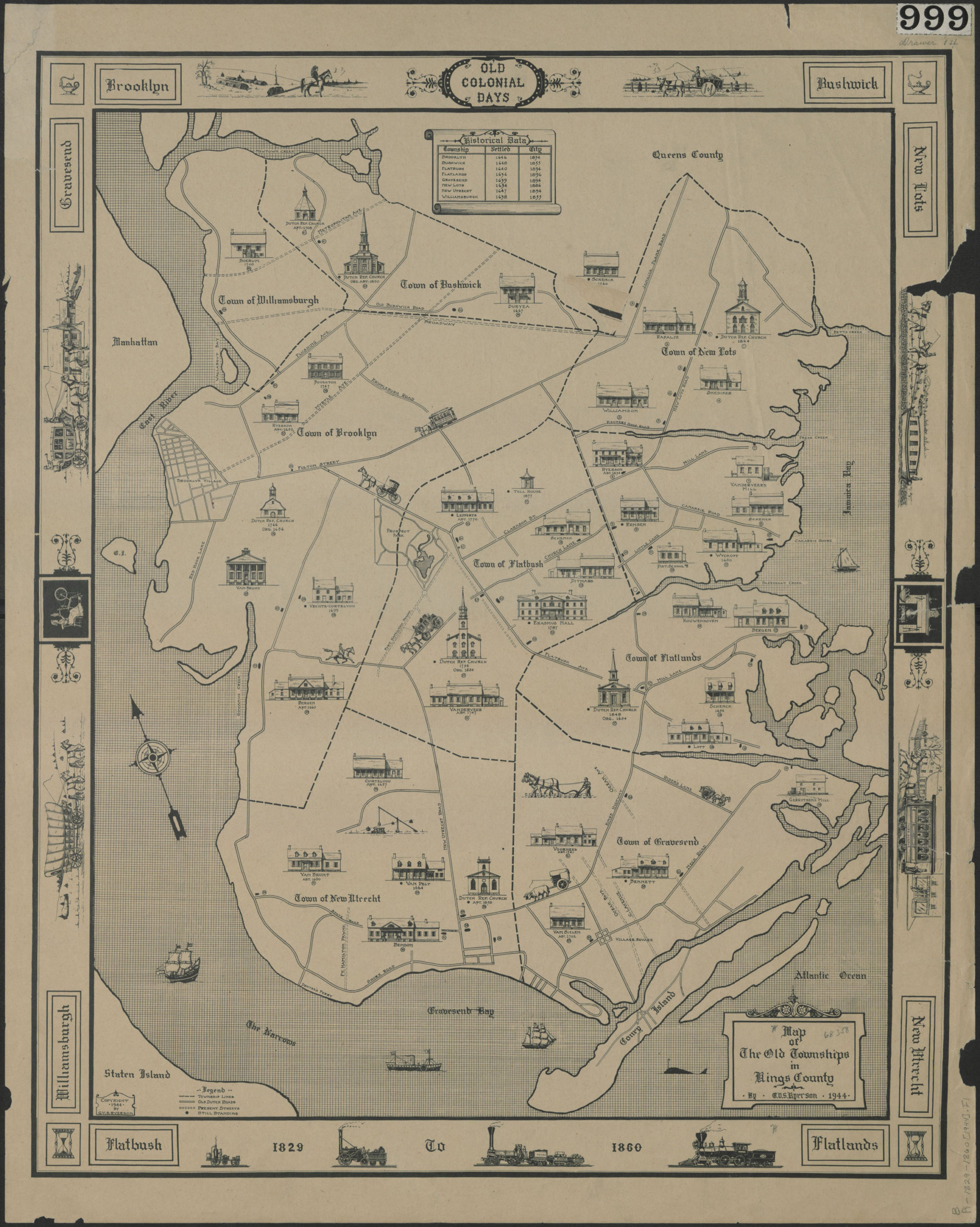
Creator
Ryerson, G. V. S.,Publisher
Brooklyn Historical SocietyCitation
Map of the old townships in Kings County: by G.V.S. Ryerson; 1944, Map Collection, B A-17th century-19th century (1944).Fl; Brooklyn Historical Society.Scale
Scale not givenLoading zoom image...