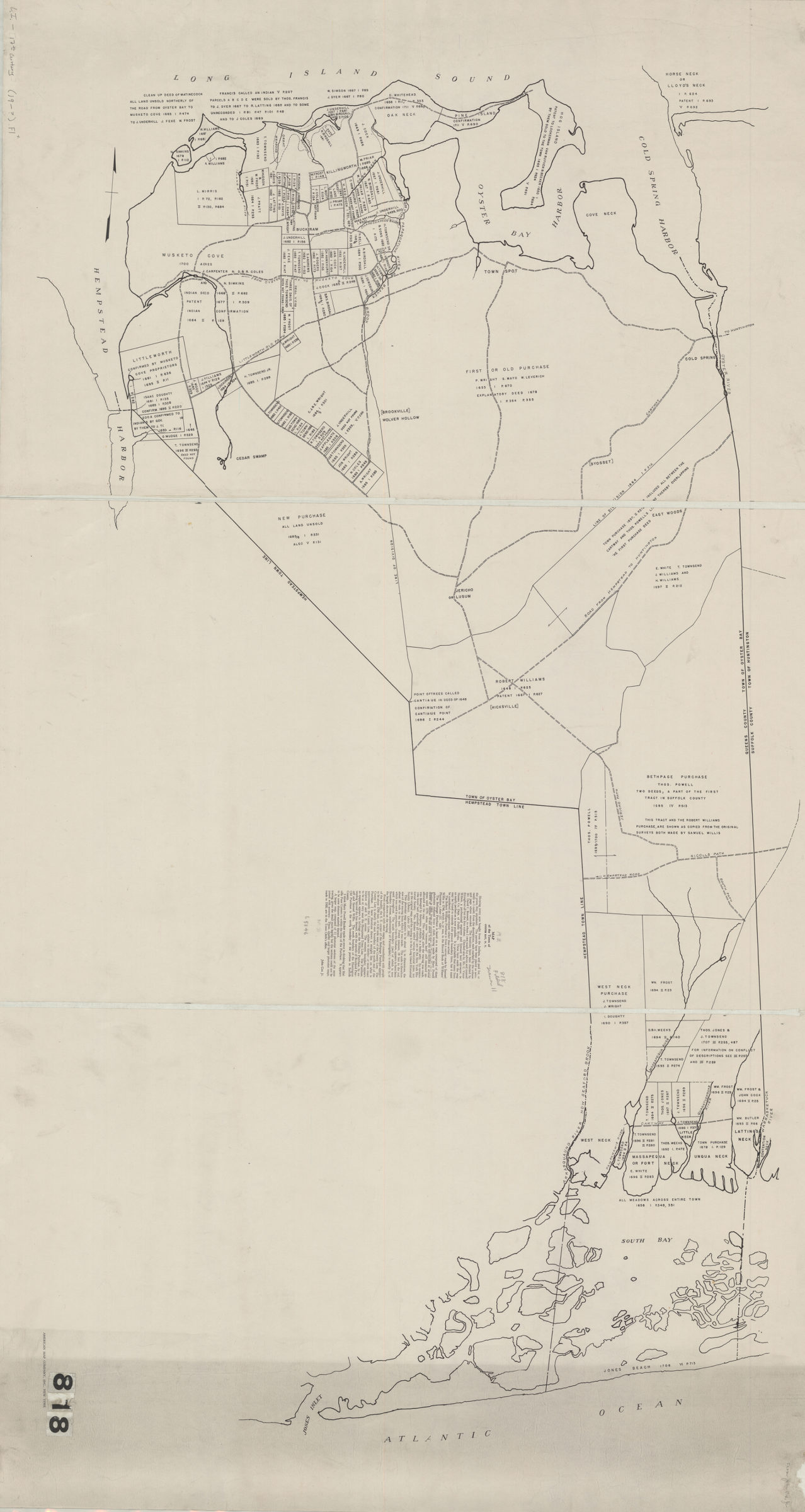
Map of the town of Oyster Bay, N.Y.: John Cox Jr [19??]
Map No. L.I.-17th century (19--?).Fl
Shows land parcels purchased from Native Americans in the 17th century. Oriented with north to the left.
Map area shown
Genre
Historical mapsRelation
Full catalog recordSize
66 × 120 cmDownload
Low Resolution ImageCreator
Cox, James,Publisher
Brooklyn Historical SocietyCitation
Map of the town of Oyster Bay, N.Y.: John Cox Jr; [19??], Map Collection, L.I.-17th century (19--?).Fl; Brooklyn Historical Society.Scale
Scale not givenLoading zoom image... 
