Map of the United States of America [1892]
Map No. US-[1892?].Fl
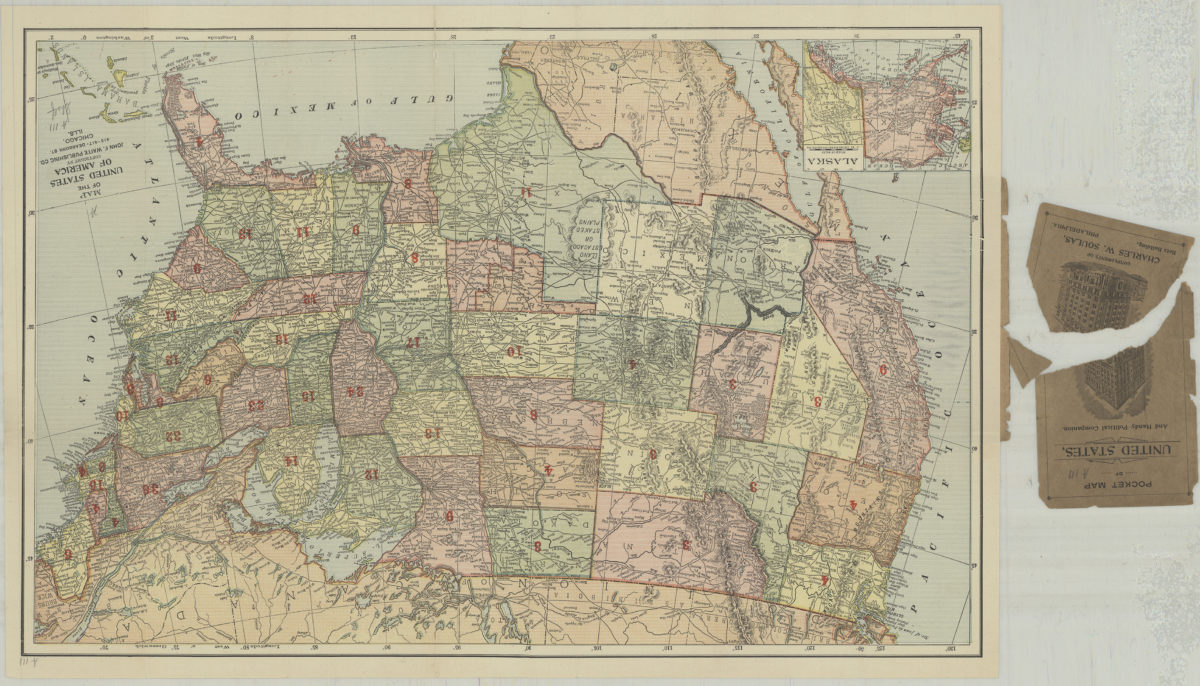
Relief shown by hachures. Prime meridians: Greenwich and Washington, D.C. Date of publication conjectured from “Political companion.” “Political companion” on p. [2] of cover. Shows popular and electoral votes by state for the 1892 presidential election. Includes inset of Alaska. “Compliments of Charles W. Soulas, Betz Building, Philadelphia”–Cover.
Places
Map area shown
Genre
MapRelation
Full catalog recordSize
33 × 51 cmDownload
Low Resolution Image
Creator
John F. Waite Publishing Company (Chicago, Ill.),Publisher
Brooklyn Historical SocietyCitation
Map of the United States of America; [1892], Map Collection, US-[1892?].Fl; Brooklyn Historical Society.Scale
Scale not givenLoading zoom image...