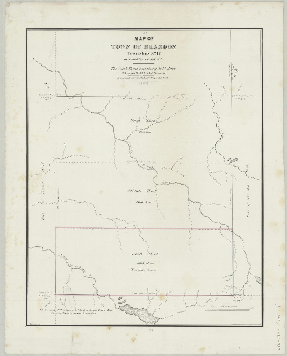
Map of town of Brandon, Township No. 17, in Franklin County, N.Y.: the south third containing 8614 acres belonging to the estate of H.B. Pierrepont, as originally surveyed by Benjn. Wright, A.D. 1800: H.E. Pierrepont, 1848 [1848]
Map No. NYS-1800 (1848).Fl
Cadastral map showing Township No. 17 divided into thirds only south third contains Pierrepont land. Shows acreage of each third as well as drainage, division lines, and parts of surrounding townships. Based on original 1800 survey.
Map area shown
Genre
Cadastral mapsRelation
Full catalog recordSize
51 × 40 cmDownload
Low Resolution Image
Creator
Pierrepont, Henry Evelyn,Publisher
Brooklyn Historical SocietyCitation
Map of town of Brandon, Township No. 17, in Franklin County, N.Y.: the south third containing 8614 acres belonging to the estate of H.B. Pierrepont, as originally surveyed by Benjn. Wright, A.D. 1800: H.E. Pierrepont, 1848; [1848], Map Collection, NYS-1800 (1848).Fl; Brooklyn Historical Society.Scale
Scale [1:31,680] 1 in toLoading zoom image...