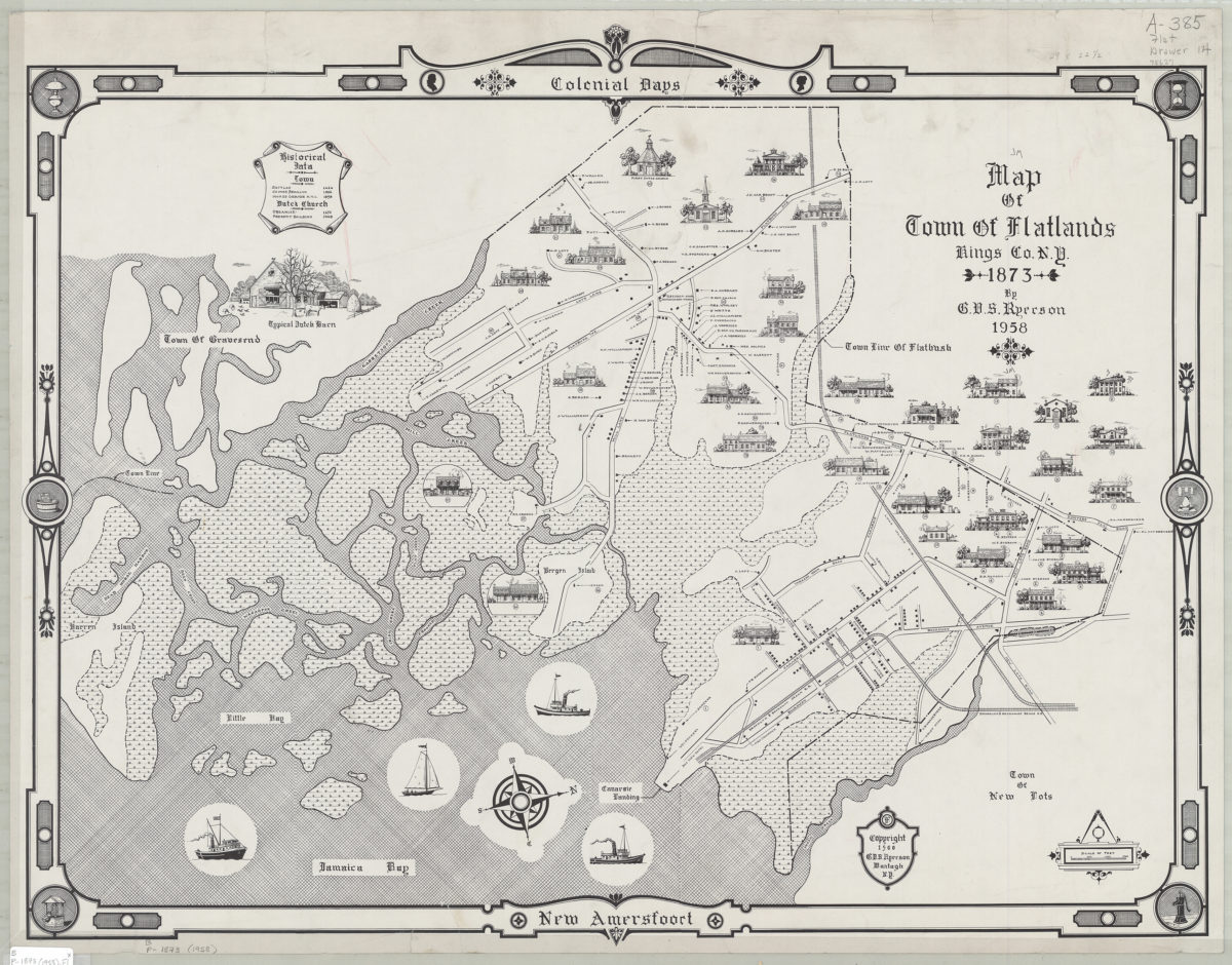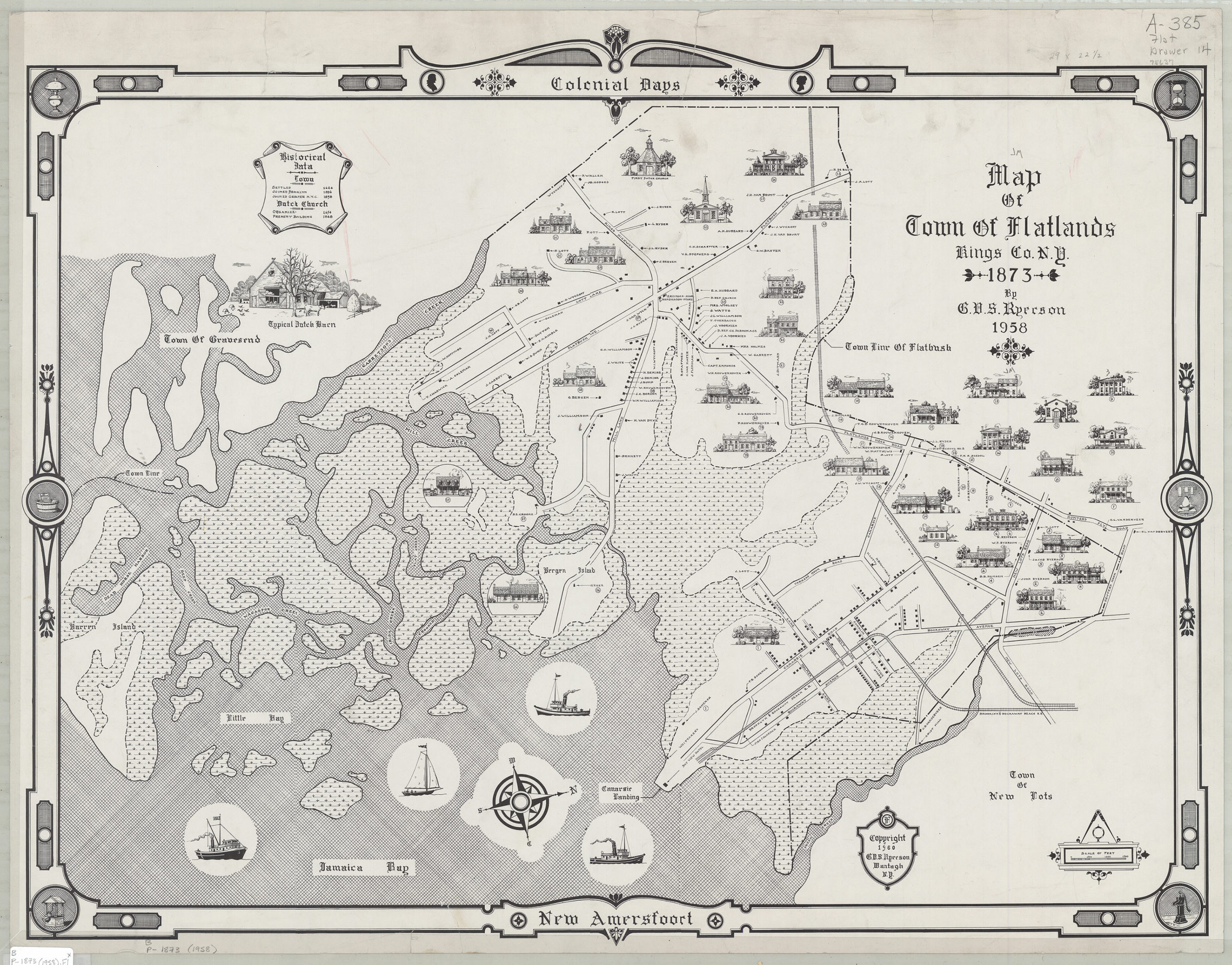
Map of town of Flatlands, Kings Co., N.Y. 1873: by G.V.S. Ryerson 1958; [ca. 1960]
Map No. B P-1873 (1958).Fl;B P-1873 (1958).Fl c.2;B P-1873 (1958).Fl c.3;B P-1873 (
Pictorial map covering modern-day Canarsie ca. 1873. Covers area west from Jamaica Bay to approximately Flatbush Ave. and north to Keuters Hook Rd. Also covers Little Bay, Bergen Island, and portions of Gravesend, New Lots, and Barren Island. Shows town boundaries, buildings, names of property owners, and the Brooklyn & Rockaway Beach R.R. Relief shown pictorially. Oriented with north to the right. Includes text, ill., and decorative border. BHS has 5 copies.
Subjects
Places
Map area shown
Genre
Pictorial mapsRelation
Full catalog recordSize
68 × 49 cmDownload
Low Resolution Image
Creator
Ryerson, G. V. S.,Publisher
Brooklyn Historical SocietyCitation
Map of town of Flatlands, Kings Co., N.Y. 1873: by G.V.S. Ryerson; 1958; [ca. 1960], Map Collection, B P-1873 (1958).Fl;B P-1873 (1958).Fl c.2;B P-1873 (1958).Fl c.3;B P-1873 (; Brooklyn Historical Society.Scale
Scale [ca. 1:13,714]Loading zoom image...