
Map of town of Osceola, Township No. 13 in Lewis County, N.Y.: the property of the estate of H.B. Pierrepont, as originally surveyed into lots by Benjn. Wright, A.D. 1797: H.E. Pierrepont, 1847 [1847]
Map No. NYS-1797 (1847)c.Fl
Cadastral map showing lots and dimensions. Also shows drainage, roads, names of landowners and renters, and parts of surrounding counties and townships. Oriented with north to the upper left. Includes text and key to sales status of lots.
Map area shown
Genre
Cadastral mapsRelation
Full catalog recordSize
58 × 45 cmDownload
Low Resolution Image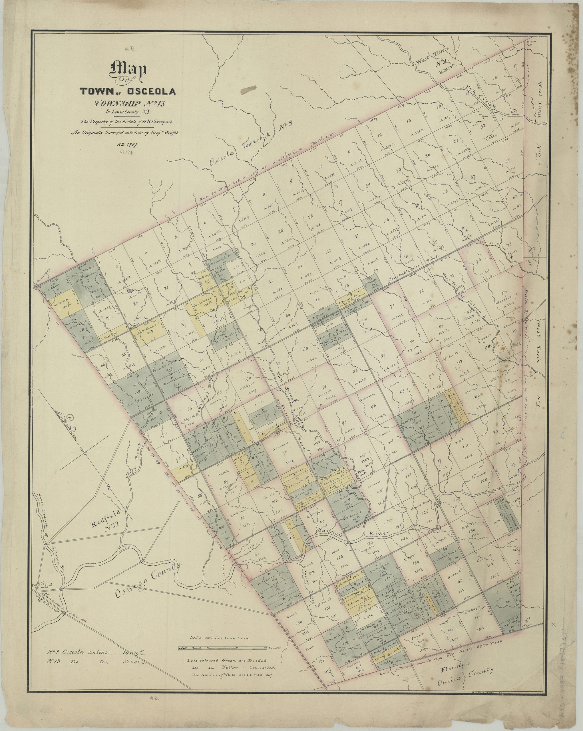
Creator
Pierrepont, Henry Evelyn,Publisher
Brooklyn Historical SocietyCitation
Map of town of Osceola, Township No. 13 in Lewis County, N.Y.: the property of the estate of H.B. Pierrepont, as originally surveyed into lots by Benjn. Wright, A.D. 1797: H.E. Pierrepont, 1847; [1847], Map Collection, NYS-1797 (1847)c.Fl; Brooklyn Historical Society.Scale
Scale [1:31,680] 1 in toLoading zoom image... 