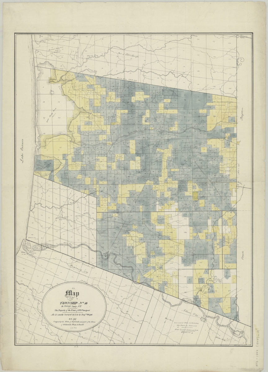
Map of Township No. 10 in Oswego County, N.Y.: the property of the estate of H.B. Pierrepont, as originally surveyed into lots by Benjn. Wright, A.D. 1797, comprising the town of Sand Creek and part of the towns 1847, May 8 or 15 [1847]
Map No. NYS-1797 (1847)a.Fl
Cadastral map showing property (including lot numbers) and drainage. Includes key describing colored lots.
Subjects
Places
Map area shown
Genre
Cadastral mapsRelation
Full catalog recordSize
53 × 69 cmDownload
Low Resolution Image
Creator
Pierrepont, W. C.,Publisher
Brooklyn Historical SocietyCitation
Map of Township No. 10 in Oswego County, N.Y.: the property of the estate of H.B. Pierrepont, as originally surveyed into lots by Benjn. Wright, A.D. 1797, comprising the town of Sand Creek and part of the towns 1847, May 8 or 15; [1847], Map Collection, NYS-1797 (1847)a.Fl; Brooklyn Historical Society.Scale
Scale [1:31,680] 1 in toLoading zoom image...