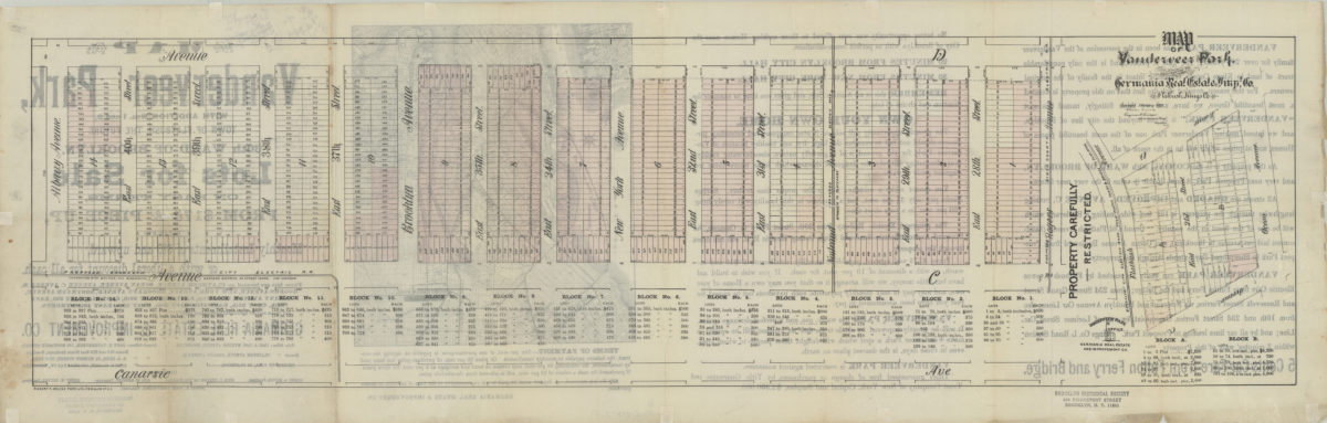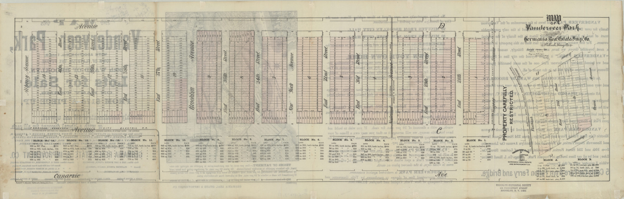
Map of Vanderveer Park belonging to Germania Real Estate and Impt. Co., Flatbush, Kings Co.: surveyed February, 1893, [by] Charles Crooke, engineer & surveyor [1893]
Map No. B P-[1893].Fl
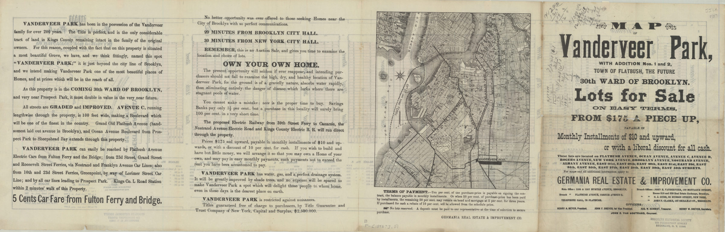
Cadastral maps covering modern-day Flatbush and East Flatbush. Maps show property (including block numbers, lot numbers, and dimensions), and elevated train lines. Individual titles devised by cataloger. Oriented with north to the bottom. On recto: Lot prices. On verso: Text and location map showing western Brooklyn, Lower Manhattan, and Jersey City. [Map covering area bounded by Canarsie Ave., Avenue D, Albany Ave., and Rogers Ave.]. [Map covering area bounded by Avenue D, Ocean Ave., Avenue C, and Flatbush Ave.].
Subjects
Places
Map area shown
Genre
Cadastral mapsRelation
Full catalog recordSize
26 × 92 cmDownload
Low Resolution Image
Creator
Crooke, Charles,Publisher
Brooklyn Historical SocietyCitation
Map of Vanderveer Park belonging to Germania Real Estate and Impt. Co., Flatbush, Kings Co.: surveyed February, 1893, [by] Charles Crooke, engineer & surveyor; [1893], Map Collection, B P-[1893].Fl; Brooklyn Historical Society.Scale
Scale not givenLoading zoom image...