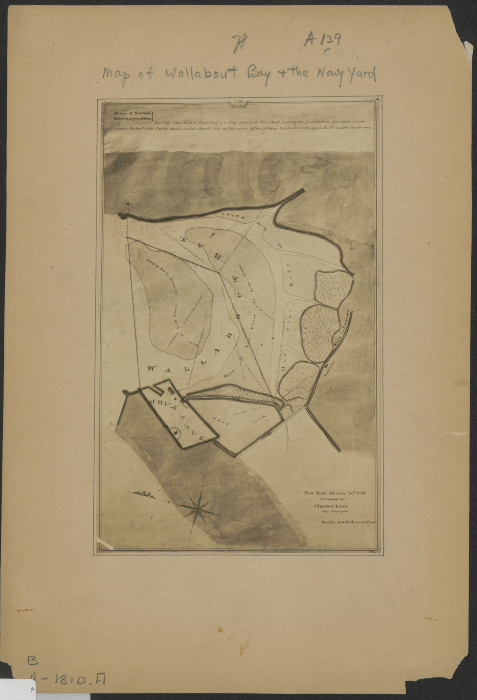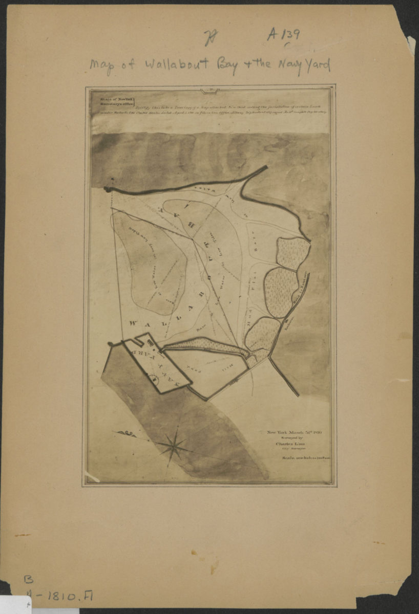
[Map of Wallabout Bay and the Brooklyn Navy Yard]: surveyed by Charles Loss, city surveyor, New York, March 31st, 1810 [19??]
Map No. B A-1810 (19--?).Fl
Shows marshlands and areas bare at low water. Title devised by cataloger. Oriented with north to the upper left. Cataloger unable to determine scale of reproduction. Extracted from an unknown publication. “State of New York Secretary’s Office: I certify this to be a true copy of a map attached to a deed ceding the jurisdiction of certain lands under water to the United States dated April 3, 1810 on file in the Office. Albany September 8, 1827 signed Archd. Campbell, Dep. Secretary.”
Map area shown
Genre
Bathymetric mapsRelation
Full catalog recordSize
18 × 12 cmDownload
Low Resolution ImageCreator
Loss, Charles,Publisher
Brooklyn Historical SocietyCitation
[Map of Wallabout Bay and the Brooklyn Navy Yard]: surveyed by Charles Loss, city surveyor, New York, March 31st, 1810; [19??], Map Collection, B A-1810 (19--?).Fl; Brooklyn Historical Society.Scale
Scale not givenLoading zoom image... 
