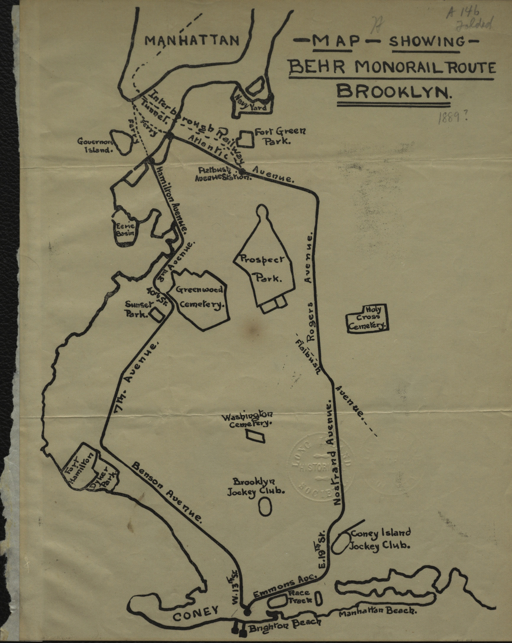
Map showing Behr Monorail route, Brooklyn [1889]
Map No. B C-[1889?].Fl
Covers Brooklyn north from Coney Island to the Navy Yard and east to Holy Cross Cemetery. Also shows race tracks and jockey clubs.
Map area shown
Relation
Full catalog recordSize
29 × 23 cmDownload
Low Resolution ImageCreator
Behr, Fritz Bernhard,Publisher
Brooklyn Historical SocietyCitation
Map showing Behr Monorail route, Brooklyn; [1889], Map Collection, B C-[1889?].Fl; Brooklyn Historical Society.Scale
Scale not givenLoading zoom image... 