
[Map showing street grid, existing buildings, and the course of Wykoff Creek in Greenpoint, Brooklyn] [18??]
Map No. B A-[18--?]g.Fl
Cadastral map covers area bounded by Apollo Street, Meeker Avenue, Smith Street, Calyer Street, and Front Street in modern-day Greenpoint. Shows streets, existing property line and buildings with names of owners, and the course of Wycoff Creek. Title devised by cataloger. Annotated in pencil. Oriented with north to the left. Map found among the Brooklyn, N.Y., Department of Law, Corporation Counsel records at Brooklyn Historical Society.
Map area shown
Relation
Full catalog recordSize
37 × 58 cmDownload
Low Resolution Image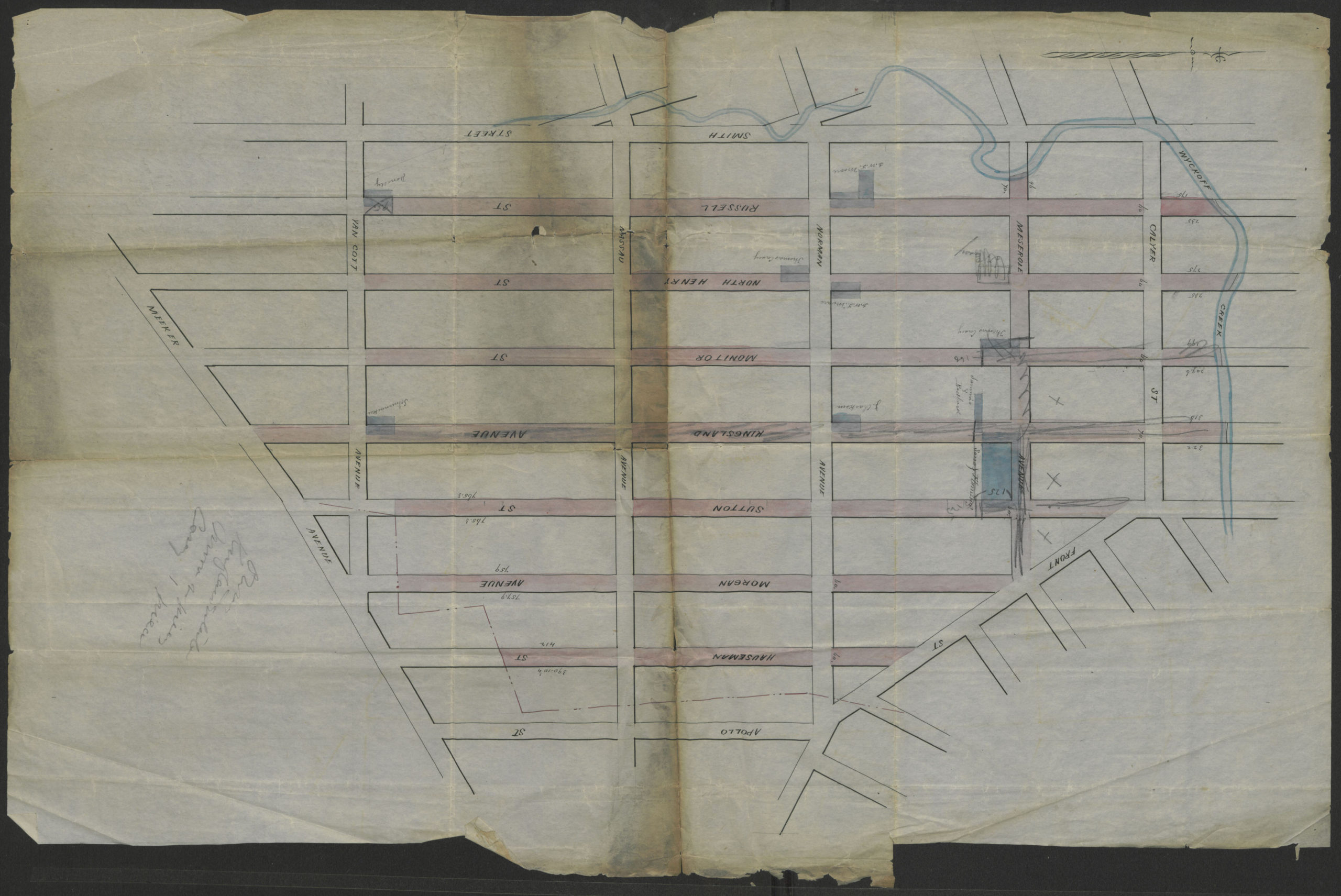
Creator
Publisher
Brooklyn Historical SocietyCitation
[Map showing street grid, existing buildings, and the course of Wykoff Creek in Greenpoint, Brooklyn]; [18??], Map Collection, B A-[18--?]g.Fl; Brooklyn Historical Society.Scale
Scale not givenLoading zoom image... 