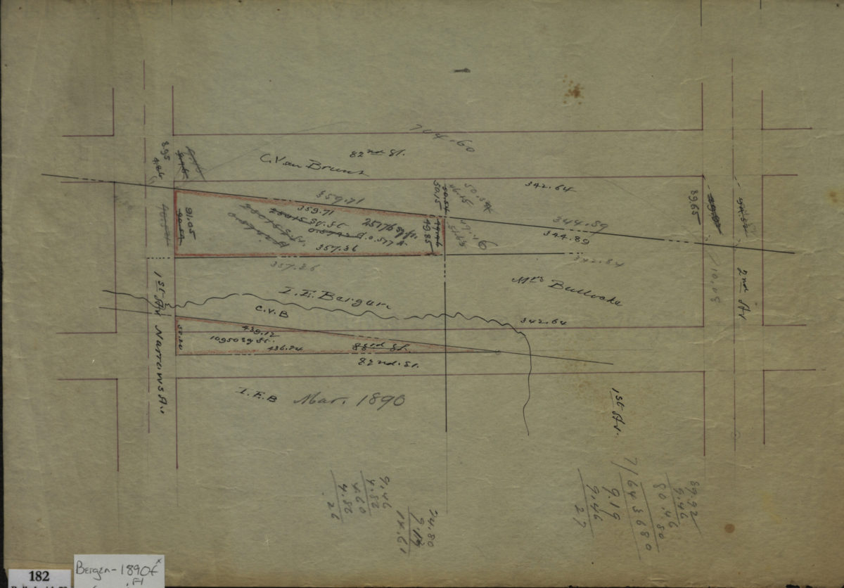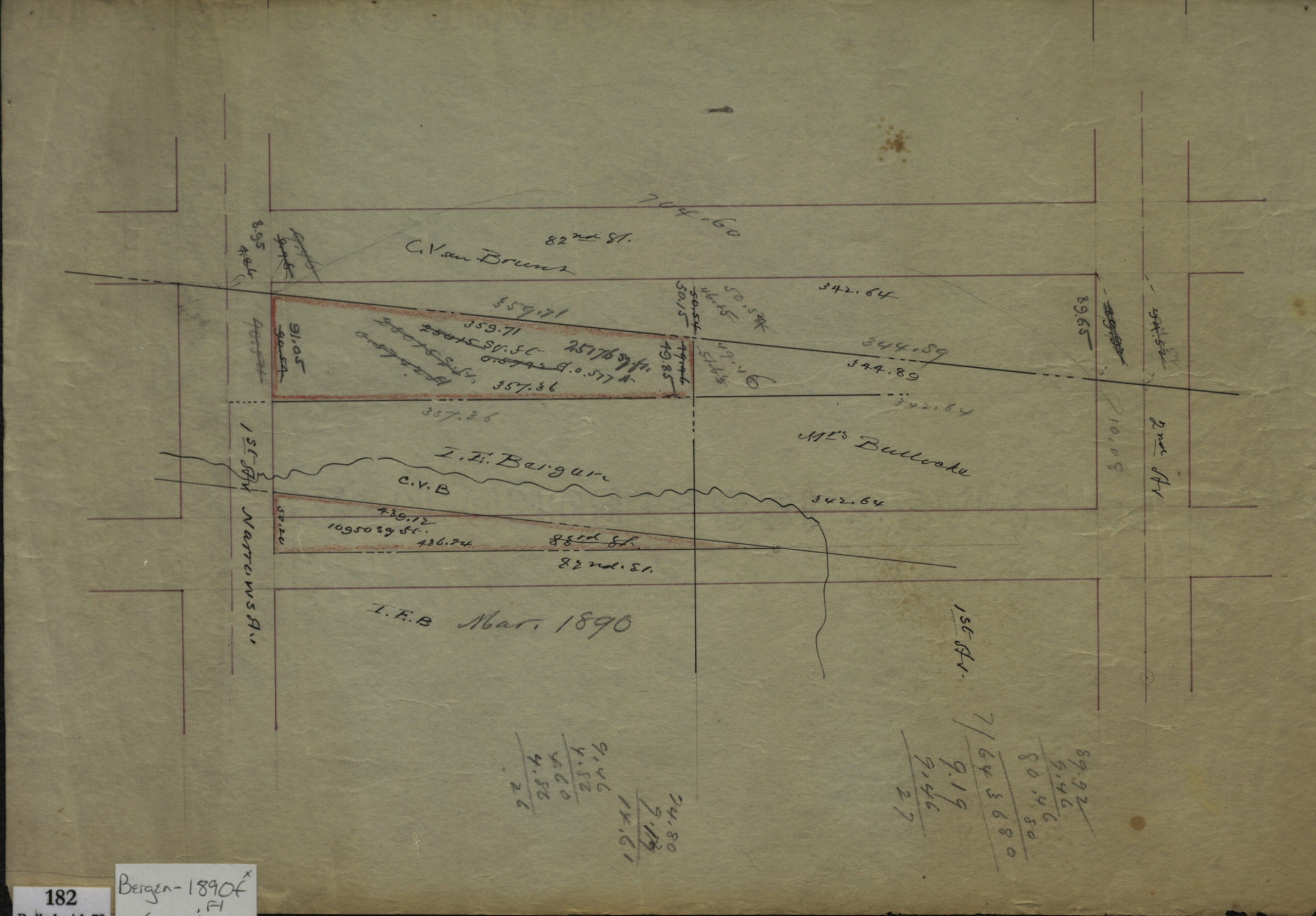
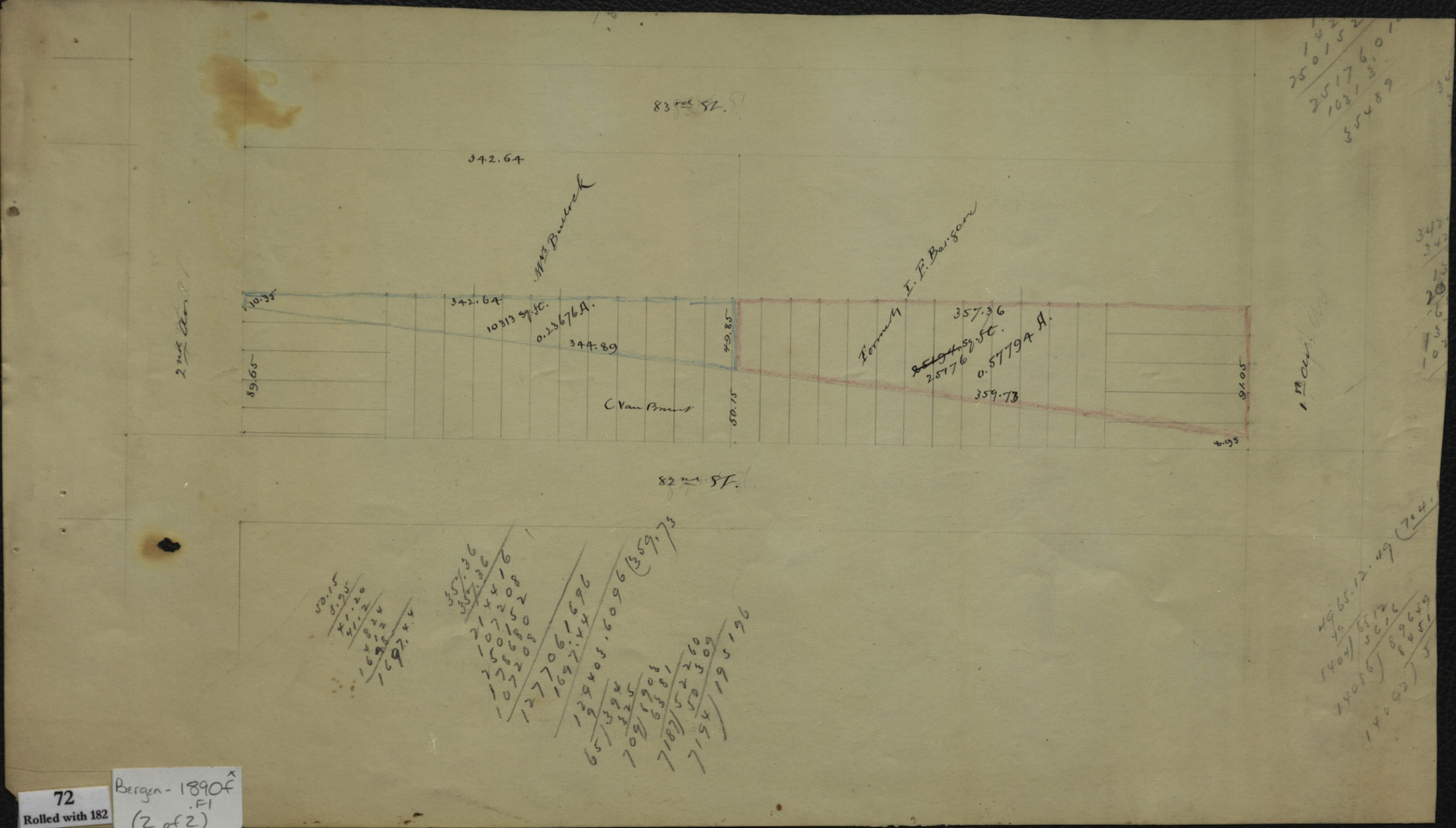
[Maps of area bounded by 82nd Street, 2nd Avenue, 83rd Street, and 1st Avenue] March 1890
Map No. Bergen-1890f.Fl
Cadastral survey maps covering area in modern-day Bay Ridge. Shows property and names of landowners. Title devised by cataloger. Includes calculations. On verso of map 1: “R. C. Van Brunt.” Maps found rolled together in BHS archives and cataloged as a unit to preserve context. [Map showing property lines]. [Map showing block divided into lots]
Map area shown
Relation
Full catalog recordSize
24 × 42 cmDownload
Low Resolution Image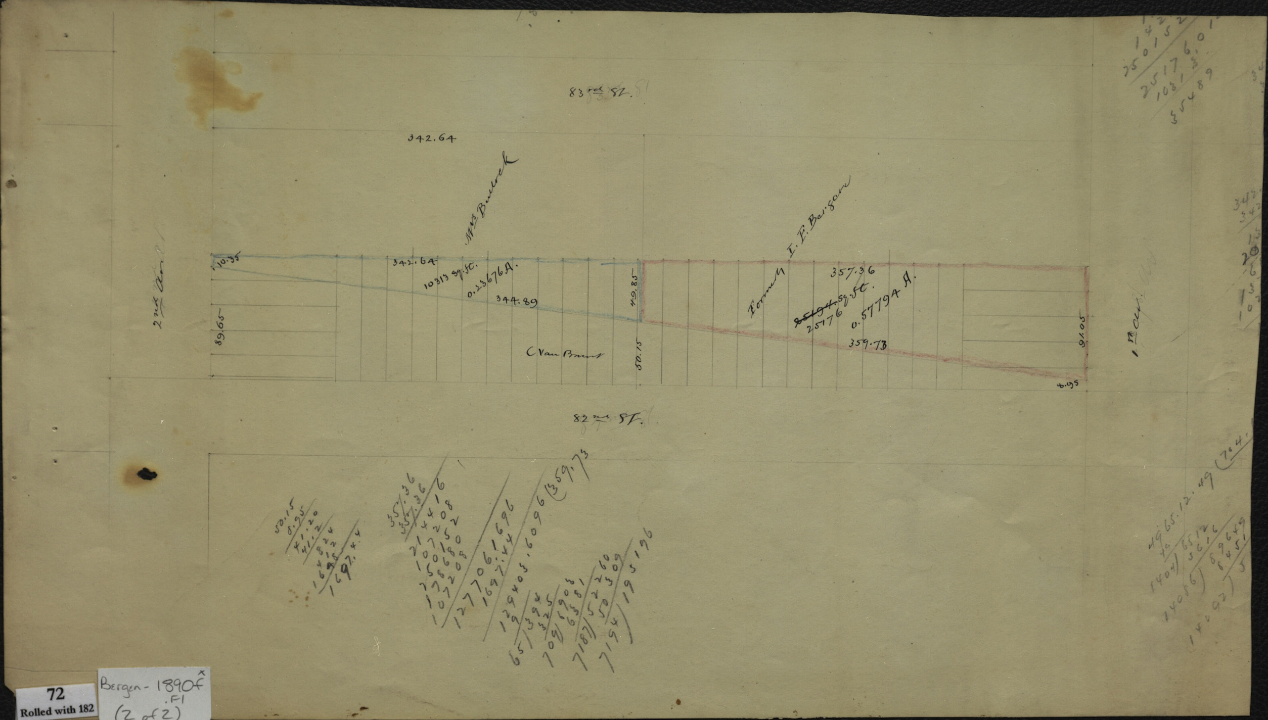
Creator
Bergen, Van Brunt,Publisher
Brooklyn Historical SocietyCitation
[Maps of area bounded by 82nd Street, 2nd Avenue, 83rd Street, and 1st Avenue]; March 1890, Map Collection, Bergen-1890f.Fl; Brooklyn Historical Society.Scale
Scale not givenLoading zoom image...