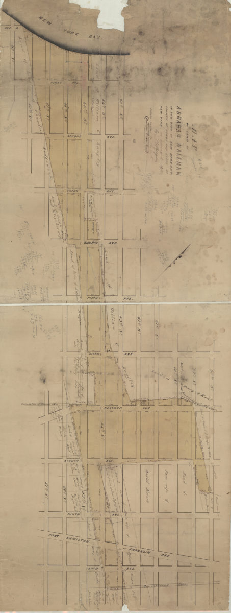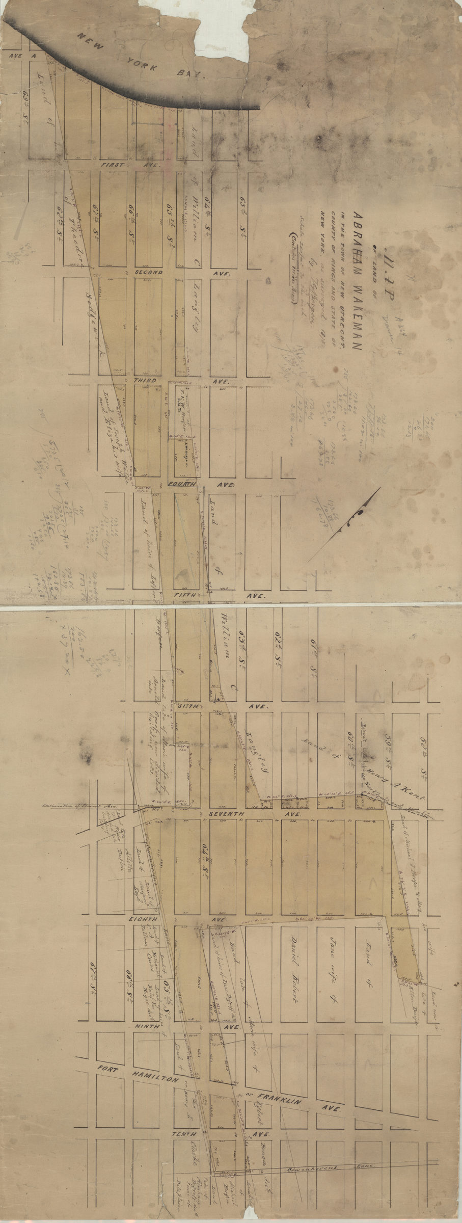

[Maps of land of Inebriates Home near Fort Hamilton in the county of Kings, and the state of New York] 1873
Map No. Bergen-1873a.Fl
Cadastral map covering area bounded by 88th Street, 4th Avenue, 93rd Street, and Narrows Avenue in modern-day Fort Hamilton section of Bay Ridge. Shows streets, property, and names of landowners. Cadastral survey map covering area in modern-day Fort Hamilton section of Bay Ridge. Shows streets and measurements. Title devised by cataloger. Water-damaged, stained. Maps found rolled together in BHS archives and cataloged as unit to preserve context. Map of land of Inebriate Home near Fort Hamilton in the county of Kings, and the state of New York / as surveyed in 1873 by T.G. Bergen. [Land belonging to] Inebriate Home, 1873.
Subjects
Places
Map area shown
Relation
Full catalog recordSize
36 × 85 cmDownload
Low Resolution Image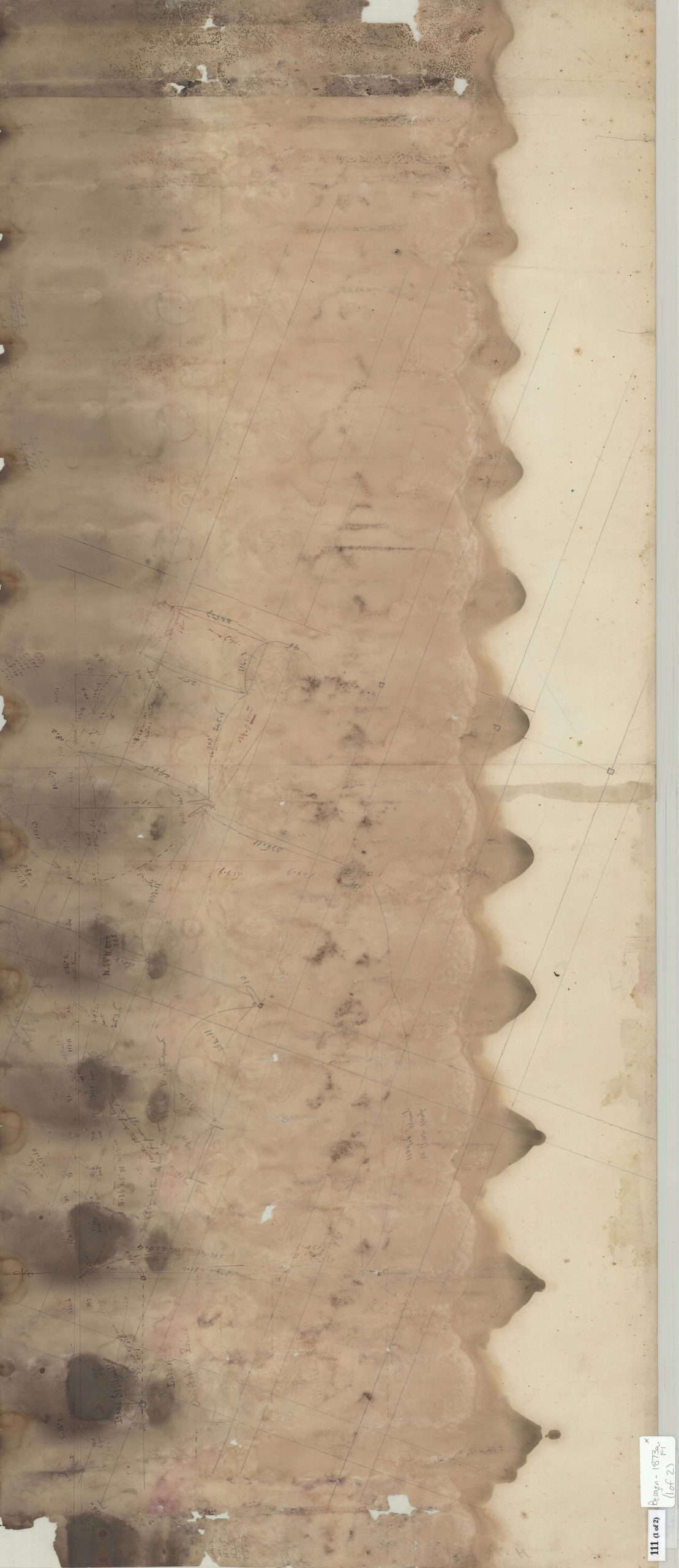
Creator
Bergen, Teunis G.,Publisher
Brooklyn Historical SocietyCitation
[Maps of land of Inebriates Home near Fort Hamilton in the county of Kings, and the state of New York]; 1873, Map Collection, Bergen-1873a.Fl; Brooklyn Historical Society.Scale
Scale [1:1200] 1 in to 10Loading zoom image...