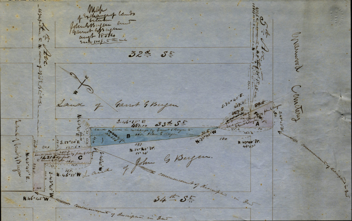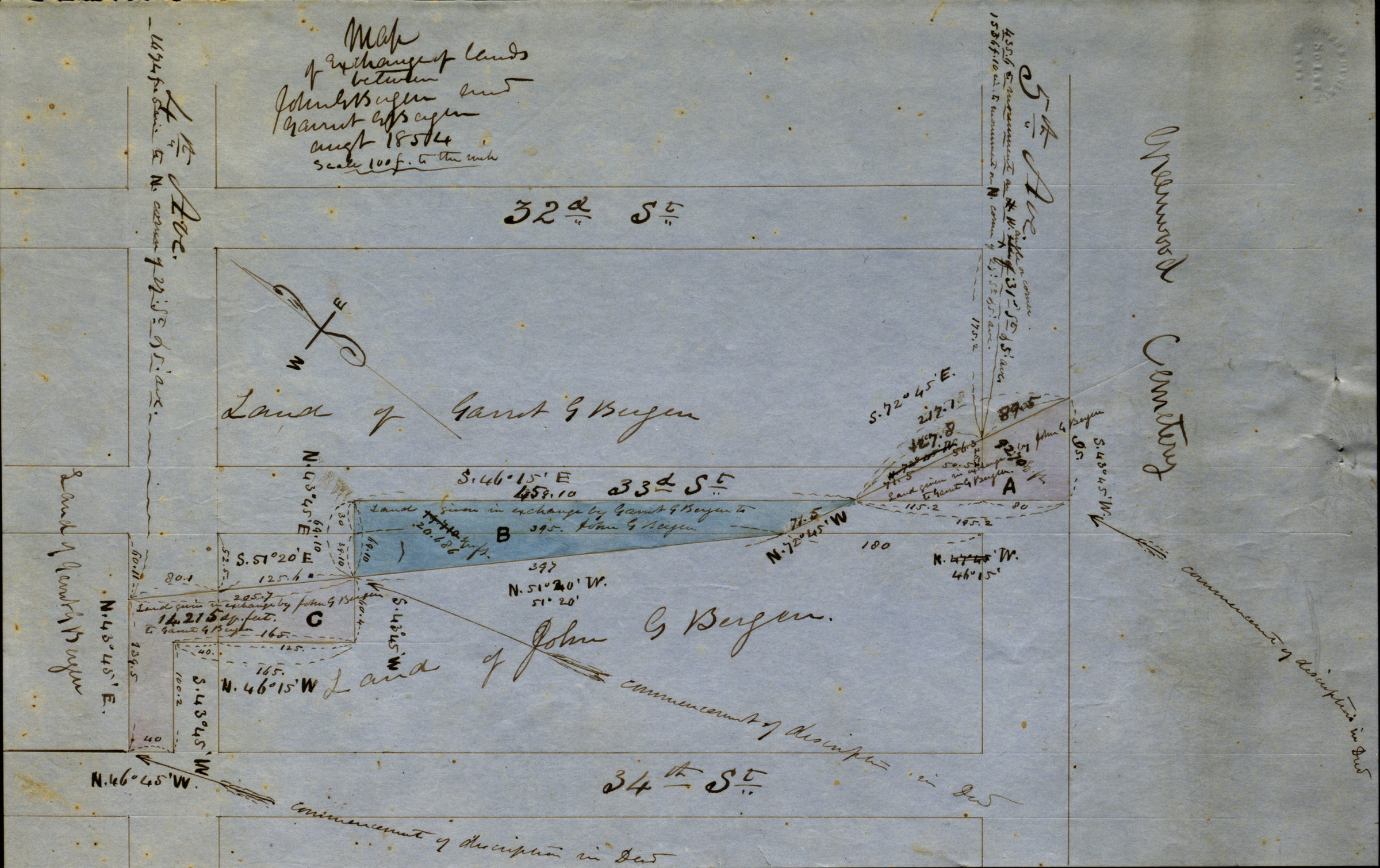
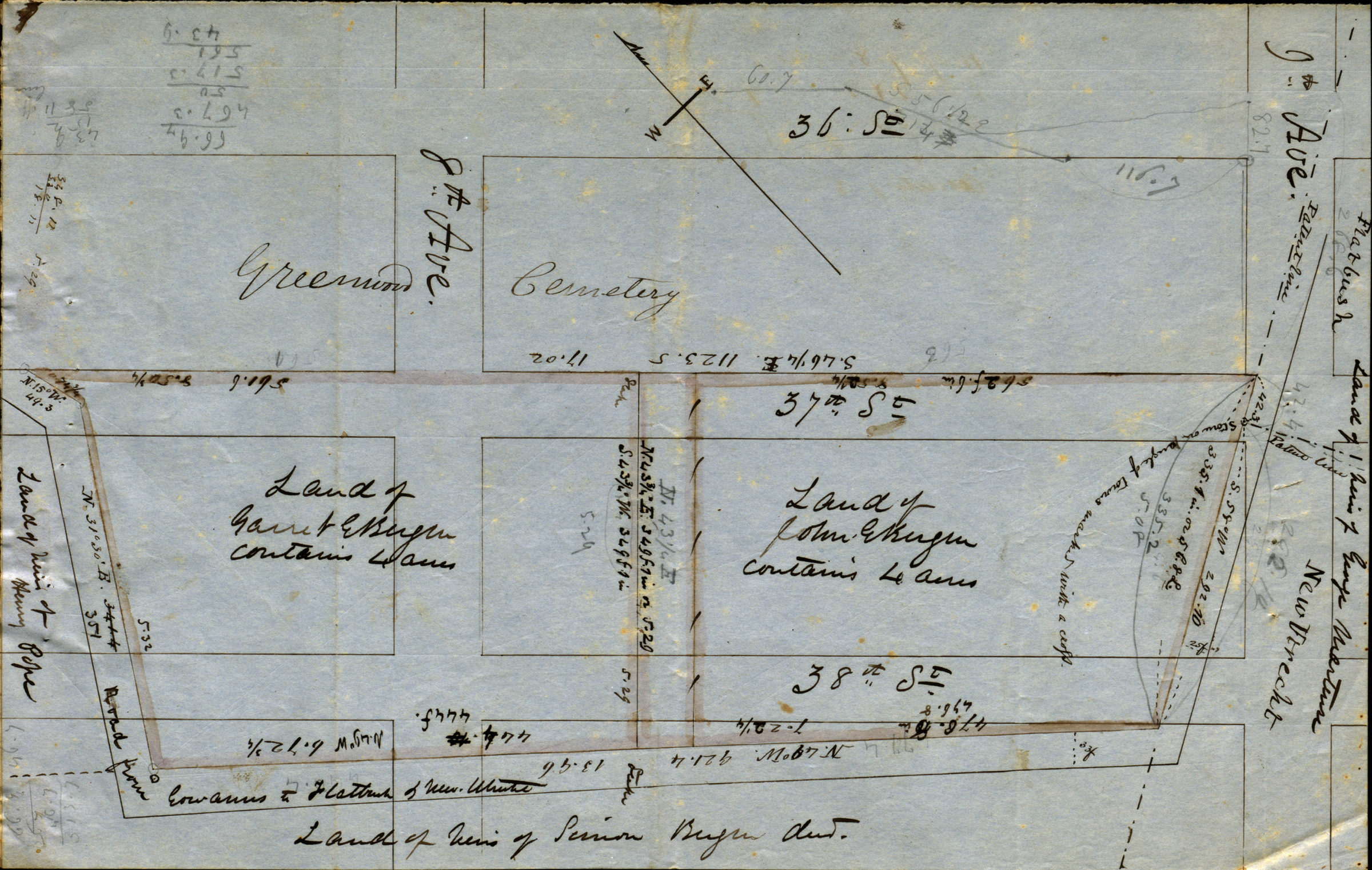
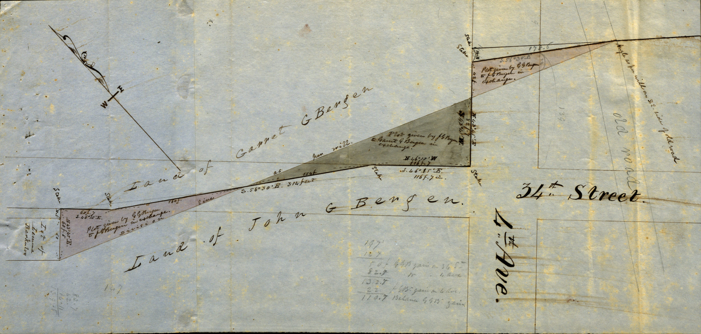
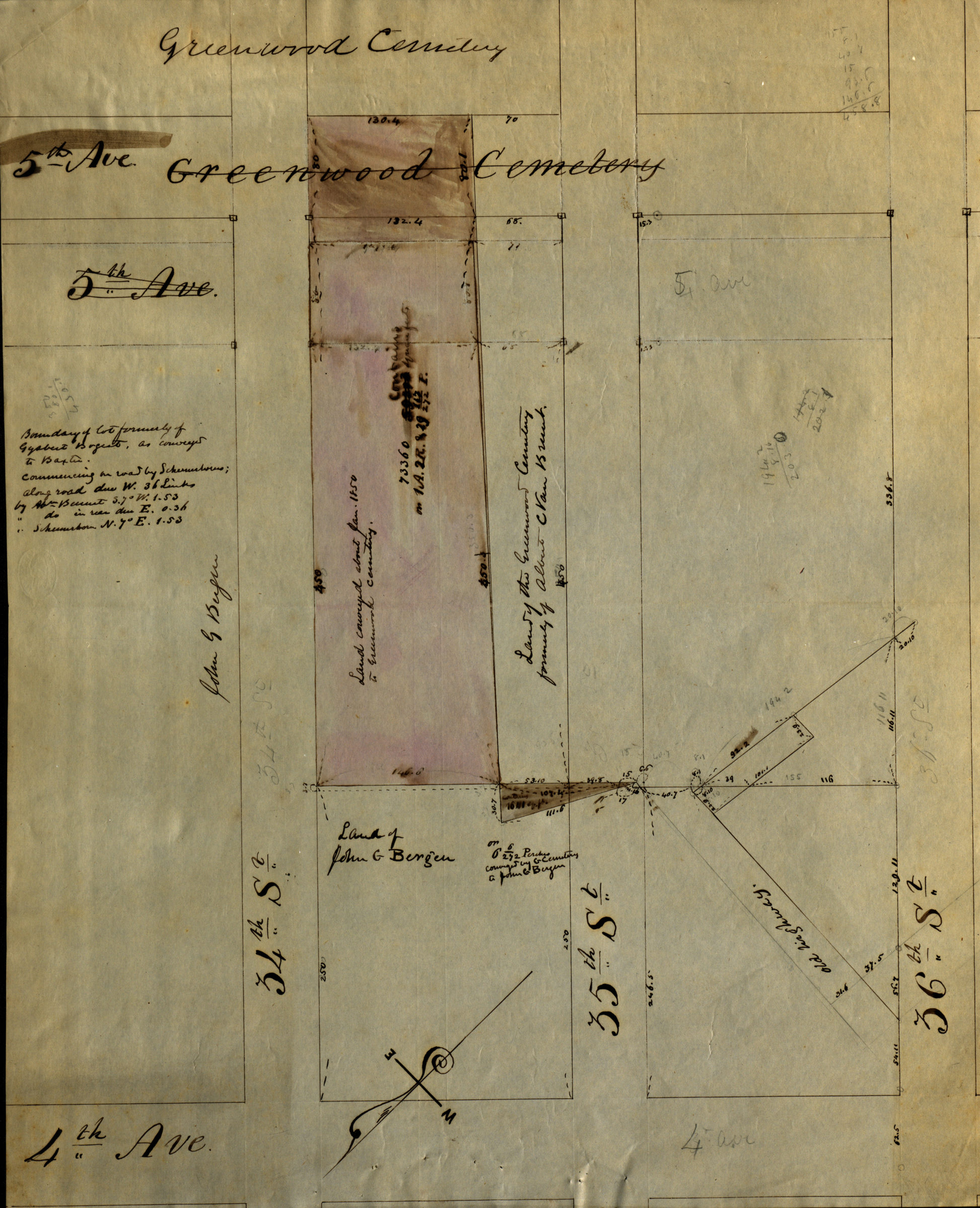
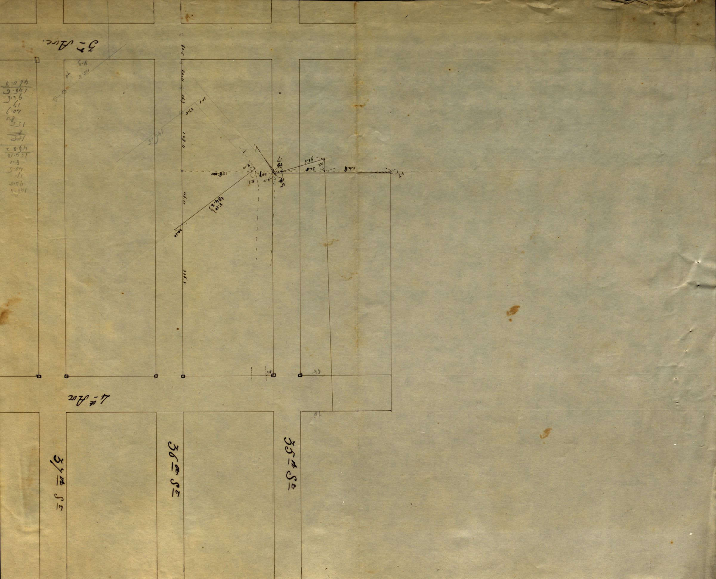
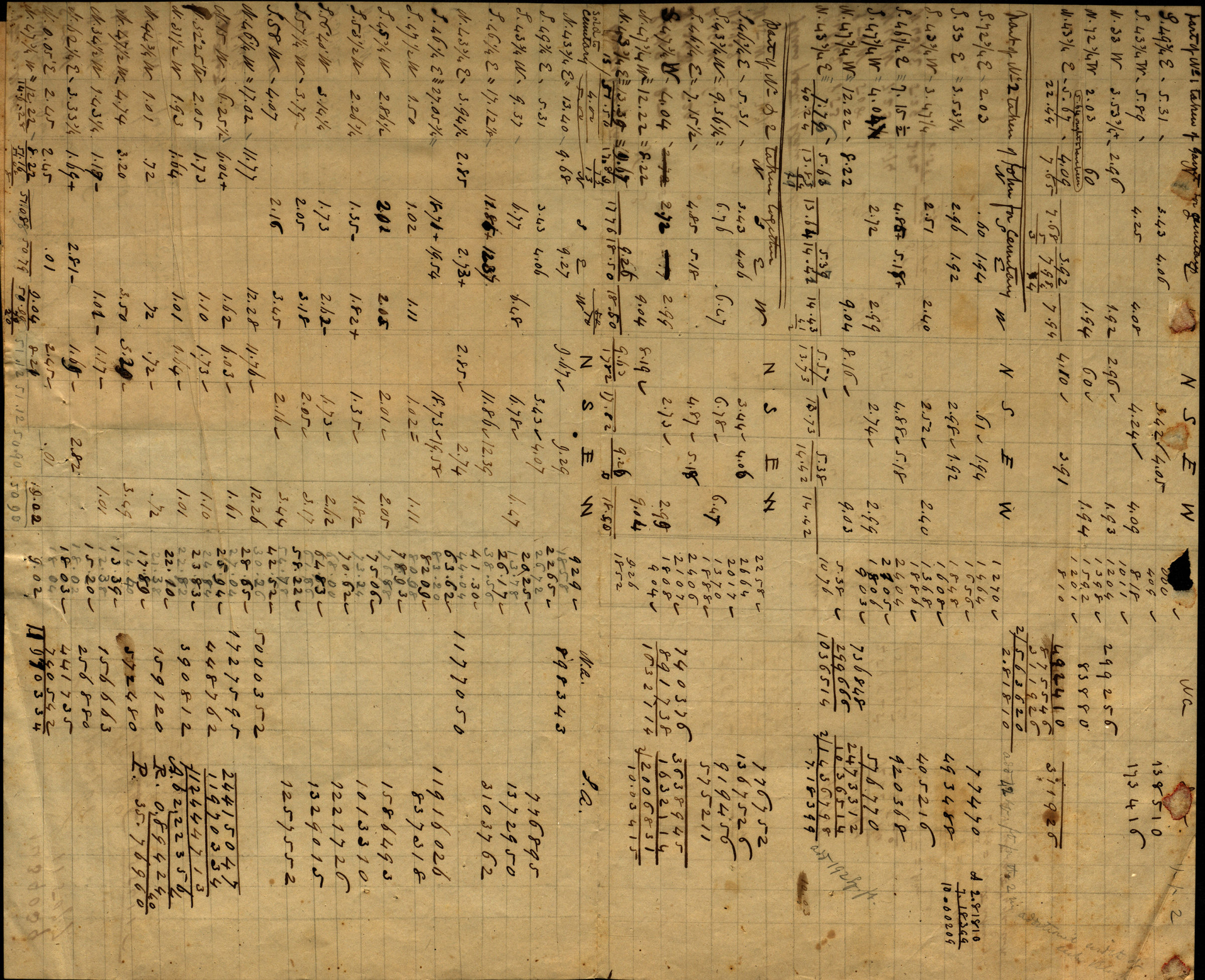
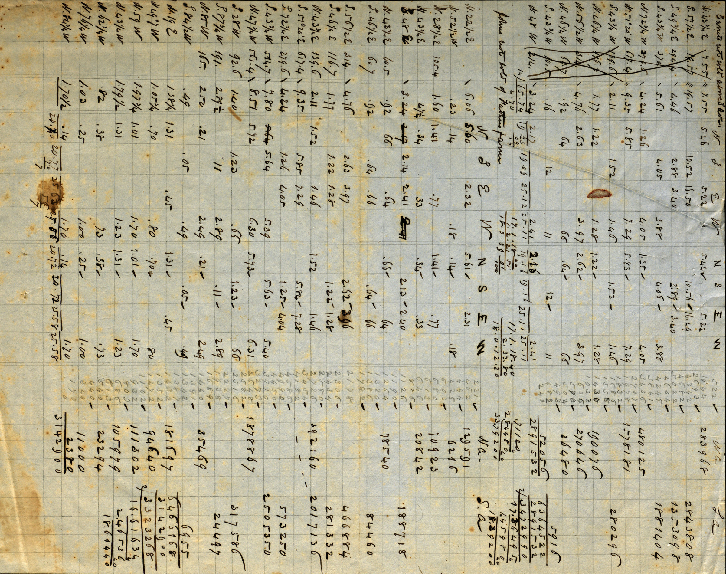
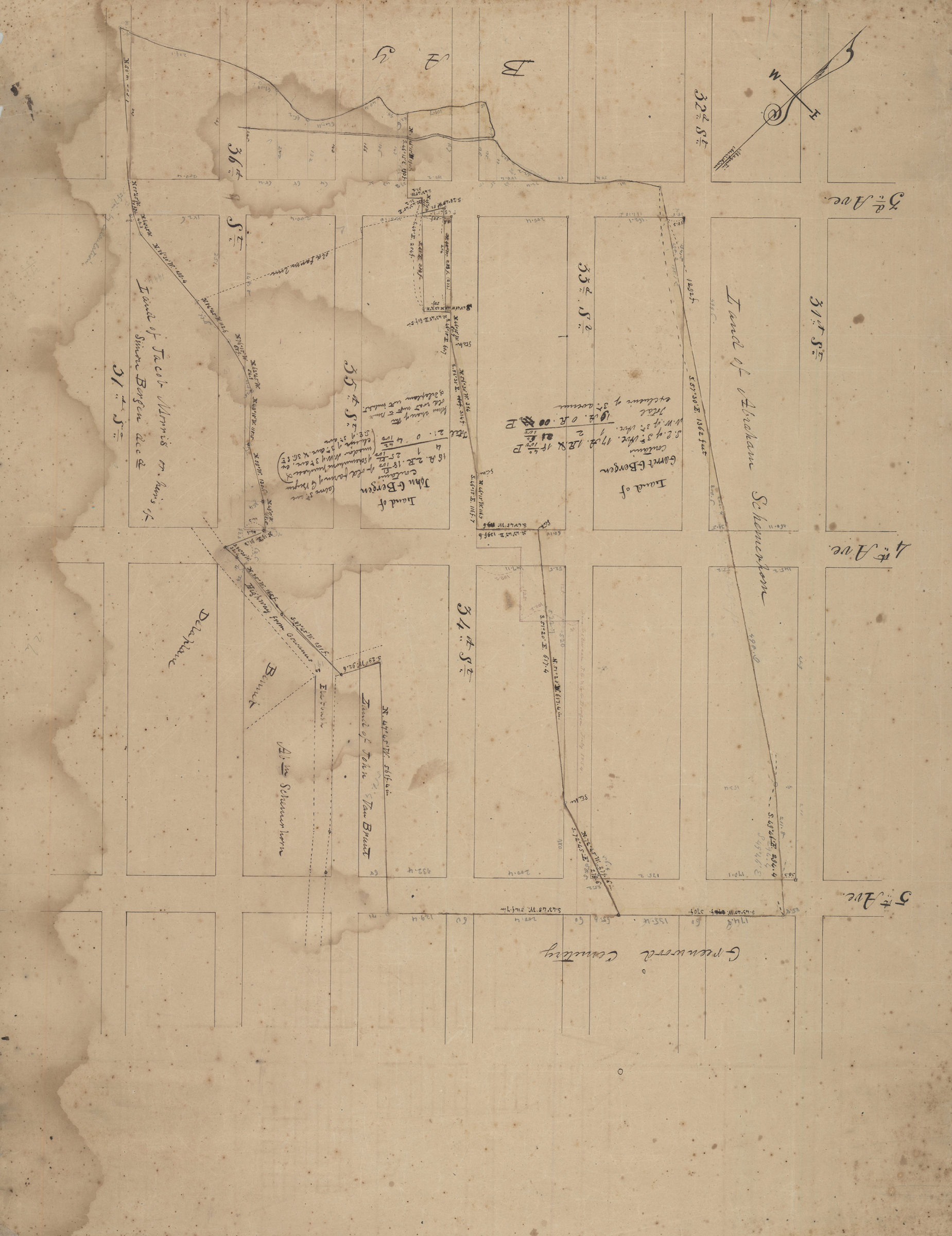
[Maps showing land of Garret G. Bergen and John G. Bergen] August 1854
Cadastral maps covering area in modern-day Sunset Park, including what is now Greenwood Cemetery. Maps show property (including dimensions), and names of landowners. Title devised by cataloger. Likely attributed to T.G. Bergen, based on handwriting on piece. Oriented with north to the upper left. Maps found rolled together in BHS archives and cataloged as unit to preserve context. John G. and Garret G. Bergen. Map of exchange of lands between John G. Bergen and Garrett G. Bergen. Map of 8 acres of John G. & Garrett G. Bergen, on rear of farm, not sold, cemetery & as divided. [Map of area bounded by 34th St., 4th Ave., 36th St., and 5th Ave.]. [Map of area bounded by 35th St., 3rd Ave., 37th St. and 4th Ave.]. Map of property on 34th St. & 4th Ave. exchanged by JG & GG Bergen.
Map area shown
Relation
Full catalog recordSize
56 × 71 cmDownload
Low Resolution Image
Creator
Bergen, Teunis G.,Publisher
Brooklyn Historical SocietyCitation
[Maps showing land of Garret G. Bergen and John G. Bergen]; August 1854, Map Collection, Bergen-1854a.Fl; Brooklyn Historical Society.Scale
Scales differ