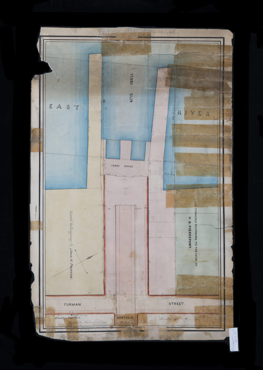
Montague Street Ferry: surveyed by Silas Ludlam ; copied … by Richd. F. Tooms September 1854
Map No. Pierrepont-1854.Fl
Cadastral map covering Montague St. east from Furman St. to the East River (modern-day Brooklyn Heights). Shows property (including dimensions), names of landowners, slips, piers, bulkhead lines, and a ferry house. Verso title. “Copied Octr. 1854 …” Oriented with north to the upper right.
Subjects
Places
Map area shown
Relation
Full catalog recordSize
47 × 29 cmDownload
Low Resolution Image
Creator
Ludlam, Silas,Publisher
Brooklyn Historical SocietyCitation
Montague Street Ferry: surveyed by Silas Ludlam ; copied … by Richd. F. Tooms; September 1854, Map Collection, Pierrepont-1854.Fl; Brooklyn Historical Society.Scale
Scale [1:480] 1 in to 40Loading zoom image...