New Jersey [1838]
Map No. N.J. [1838].Fl
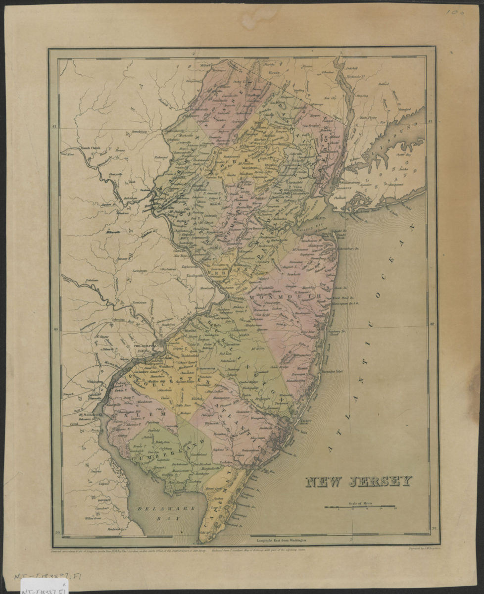
Shows counties and railroads. Relief shown by hachures. “Reduced from T. Gordon’s Map of N. Jersey, with part of the adjoining states.” From: Bradford, T.G. An illustrated atlas … Boston, 1838. (no. 19). Prime meridian: Washington, D.C. “Entered according to Act of Congress in the year 1838 by Thos. Gordon.” “Engraved by G.W. Boynton.”
Places
Map area shown
Genre
MapRelation
Full catalog recordSize
36 × 29 cmDownload
Low Resolution Image
Creator
Gordon, Thomas Francis,Publisher
Brooklyn Historical SocietyCitation
New Jersey; [1838], Map Collection, N.J. [1838].Fl; Brooklyn Historical Society.Scale
Scale [ca. 1:792,000]Loading zoom image...