
New Jersey map showing location of principal iron mines, 1890: Geological Survey of New Jersey 1890
Map No. N.J. [1890].Fl
Also covers New York City. Includes “Key to mines.”
Map area shown
Genre
Thematic mapsRelation
Full catalog recordSize
44 × 63 cmDownload
Low Resolution Image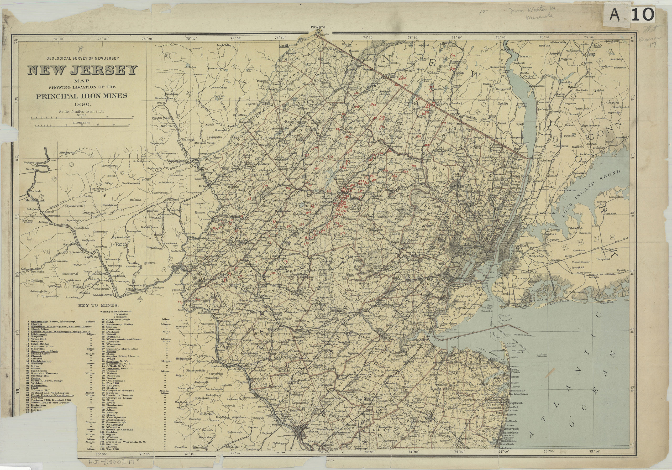
Creator
Geological Survey of New Jersey,Publisher
Brooklyn Historical SocietyCitation
New Jersey map showing location of principal iron mines, 1890: Geological Survey of New Jersey; 1890, Map Collection, N.J. [1890].Fl; Brooklyn Historical Society.Scale
Scale [1:316,800] 1 in toLoading zoom image... 