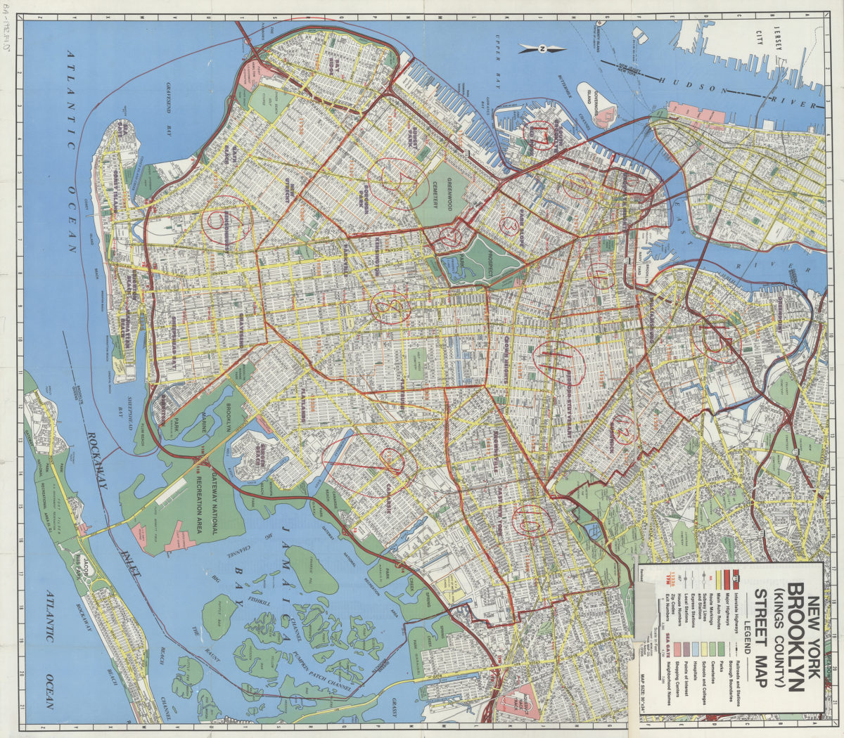
New York, Brooklyn (Kings County), street map: Geographia Map Co., Inc [ca. 1982]
Map No. B A-1982.Fl.O
Covers Brooklyn and a portion of lower Manhattan. Shows streets, automobile routes, zip codes and local transit. Street index on verso. BHS copy heavily annotated in red magic marker.
Map area shown
Genre
Road mapsRelation
Full catalog recordSize
82 × 72 cmDownload
Low Resolution Image
Creator
Geographia Map Company,Publisher
Brooklyn Historical SocietyCitation
New York, Brooklyn (Kings County), street map: Geographia Map Co., Inc; [ca. 1982], Map Collection, B A-1982.Fl.O; Brooklyn Historical Society.Scale
Scale [ca. 1:24,000]Loading zoom image...