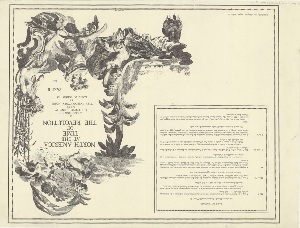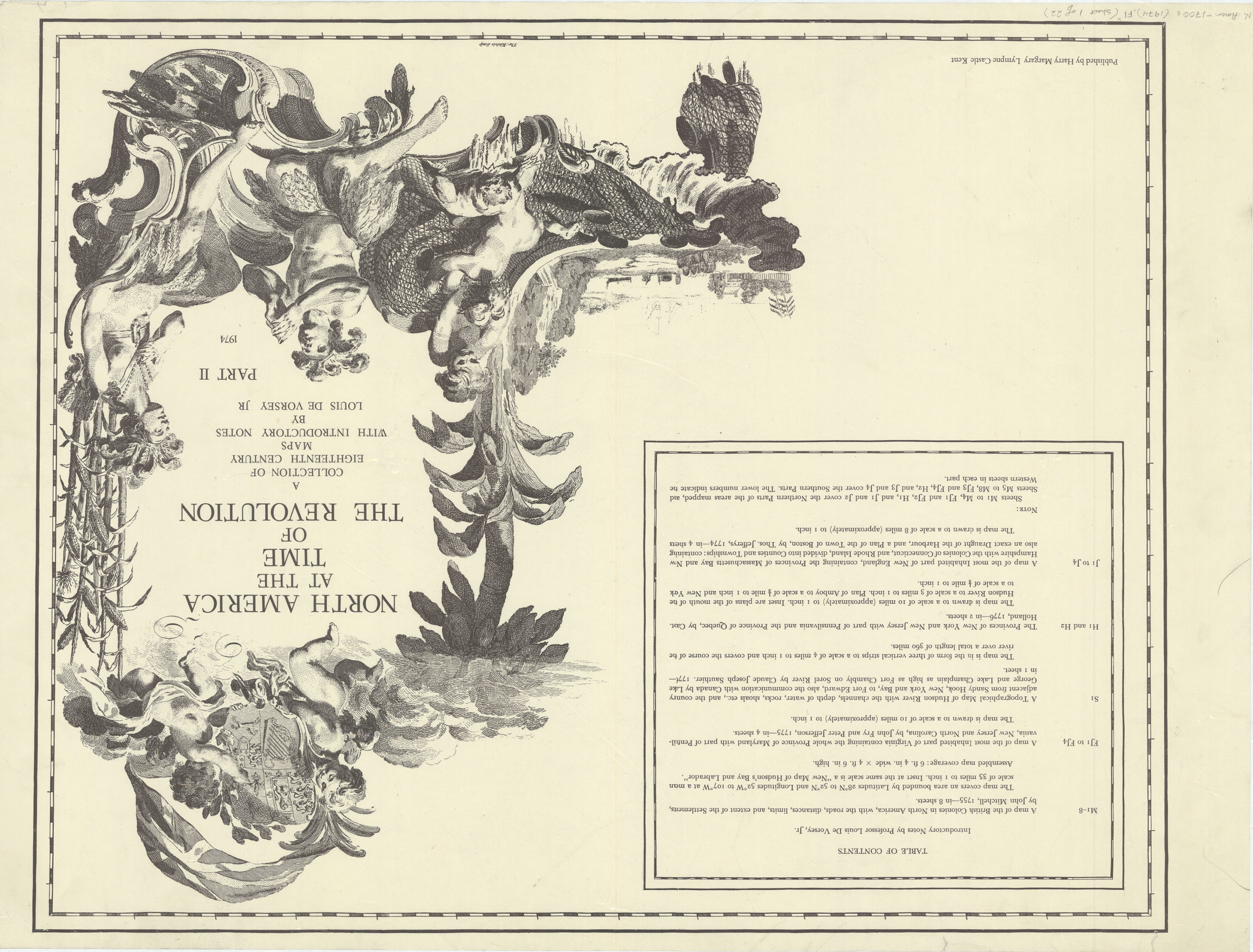

North America at the time of the revolution: a collection of eighteenth century maps: with introductory notes by Louis de Vorsey, Jr 1974
Map No. N. Amer.-1700s (1974).Fl
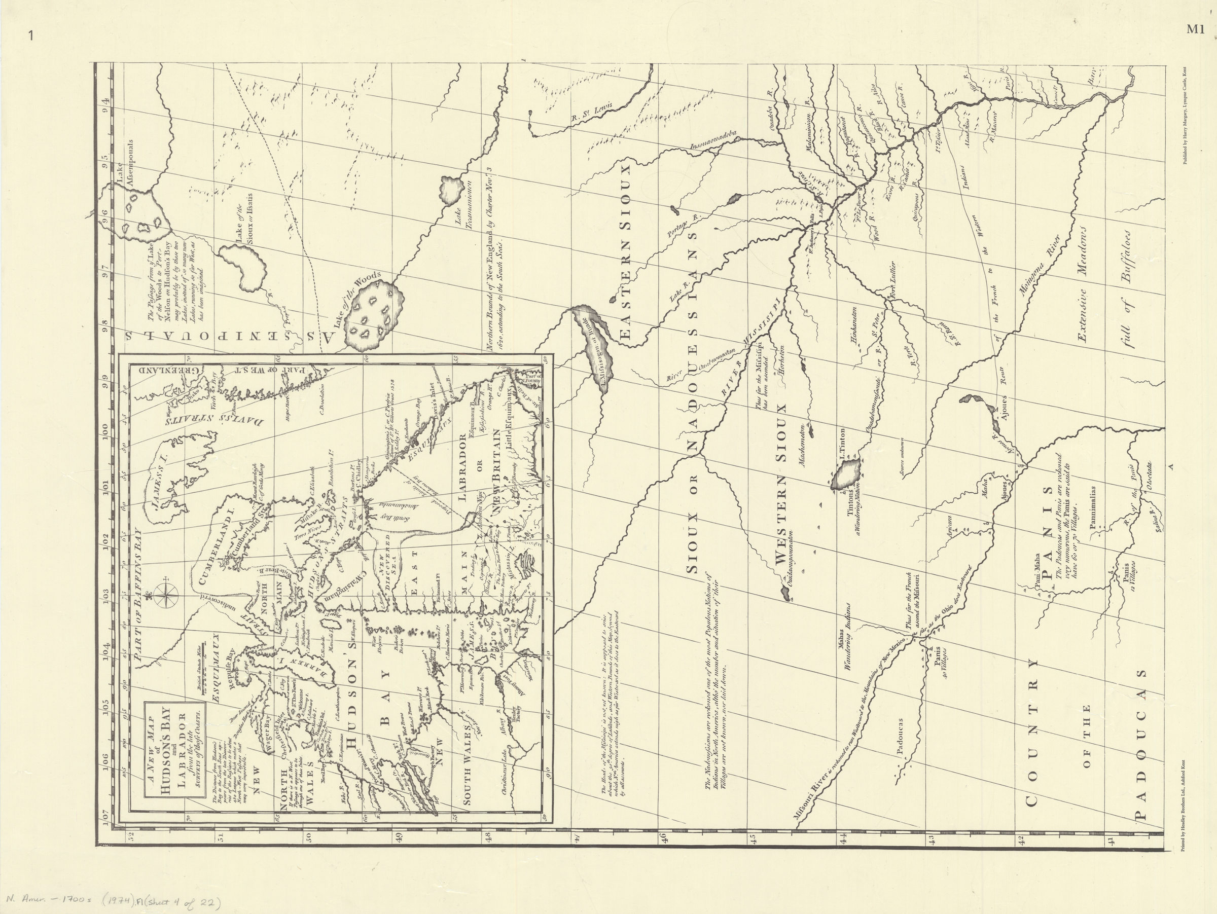
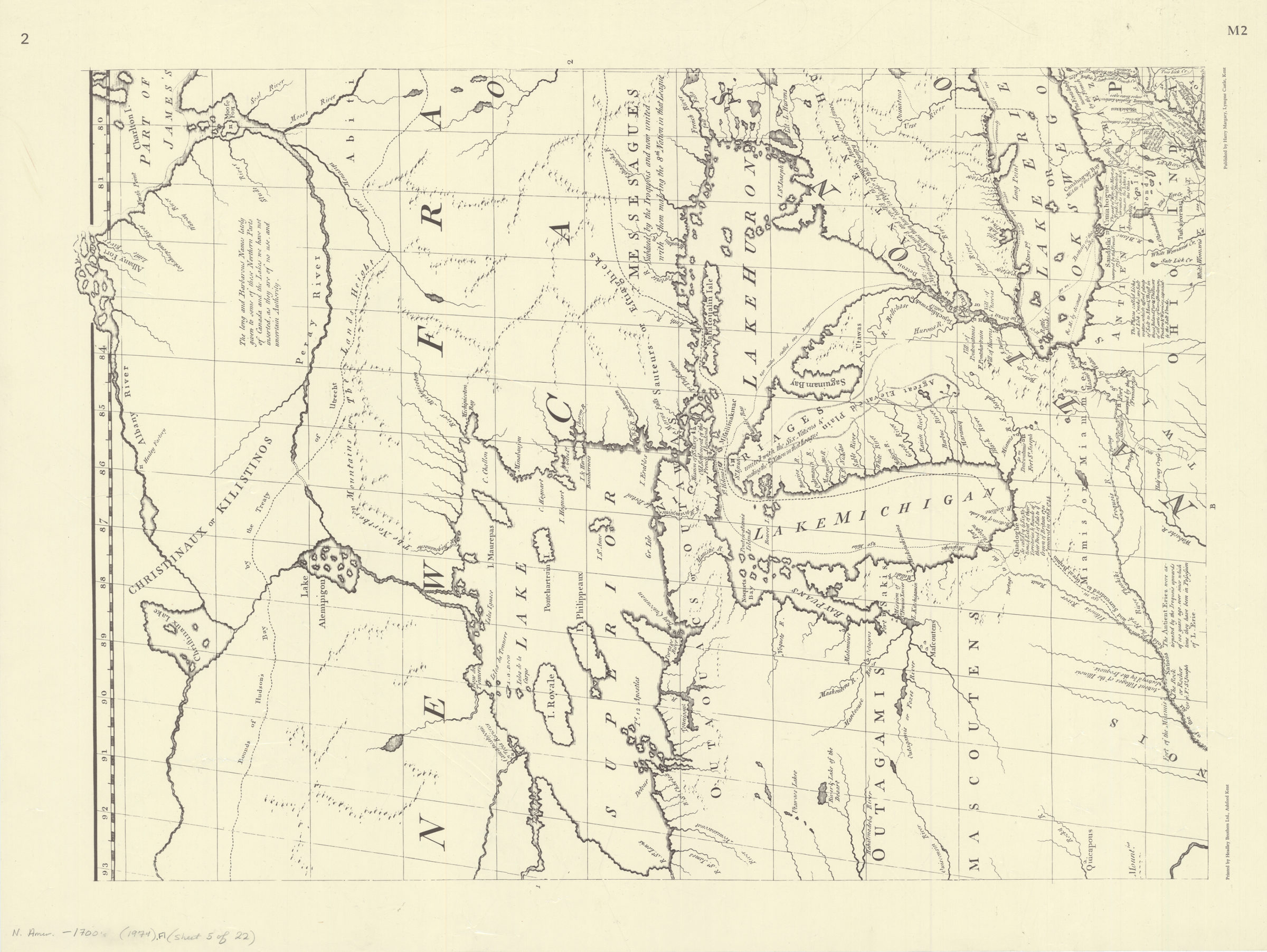
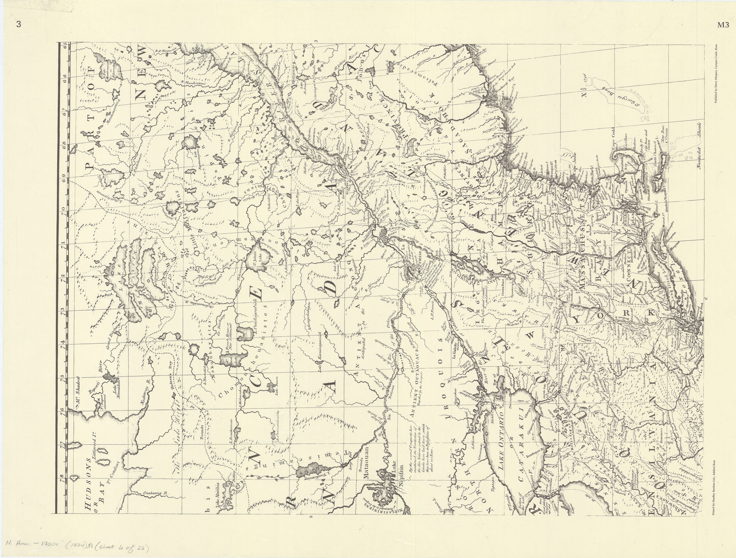
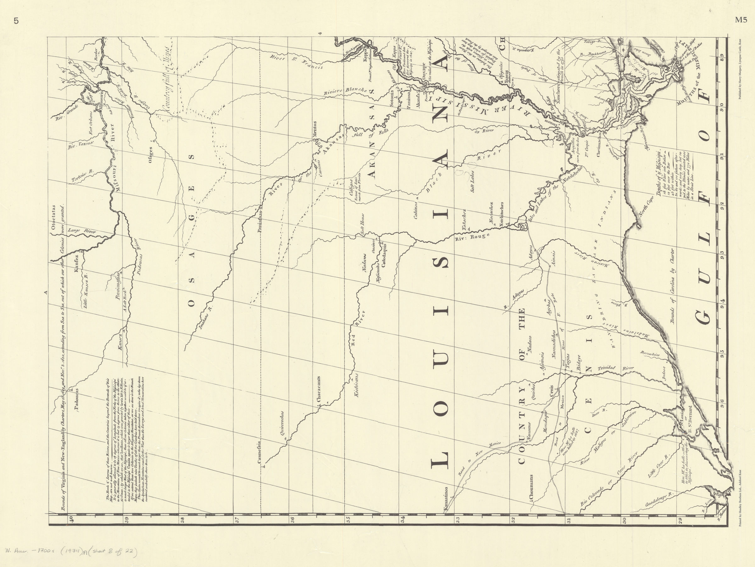
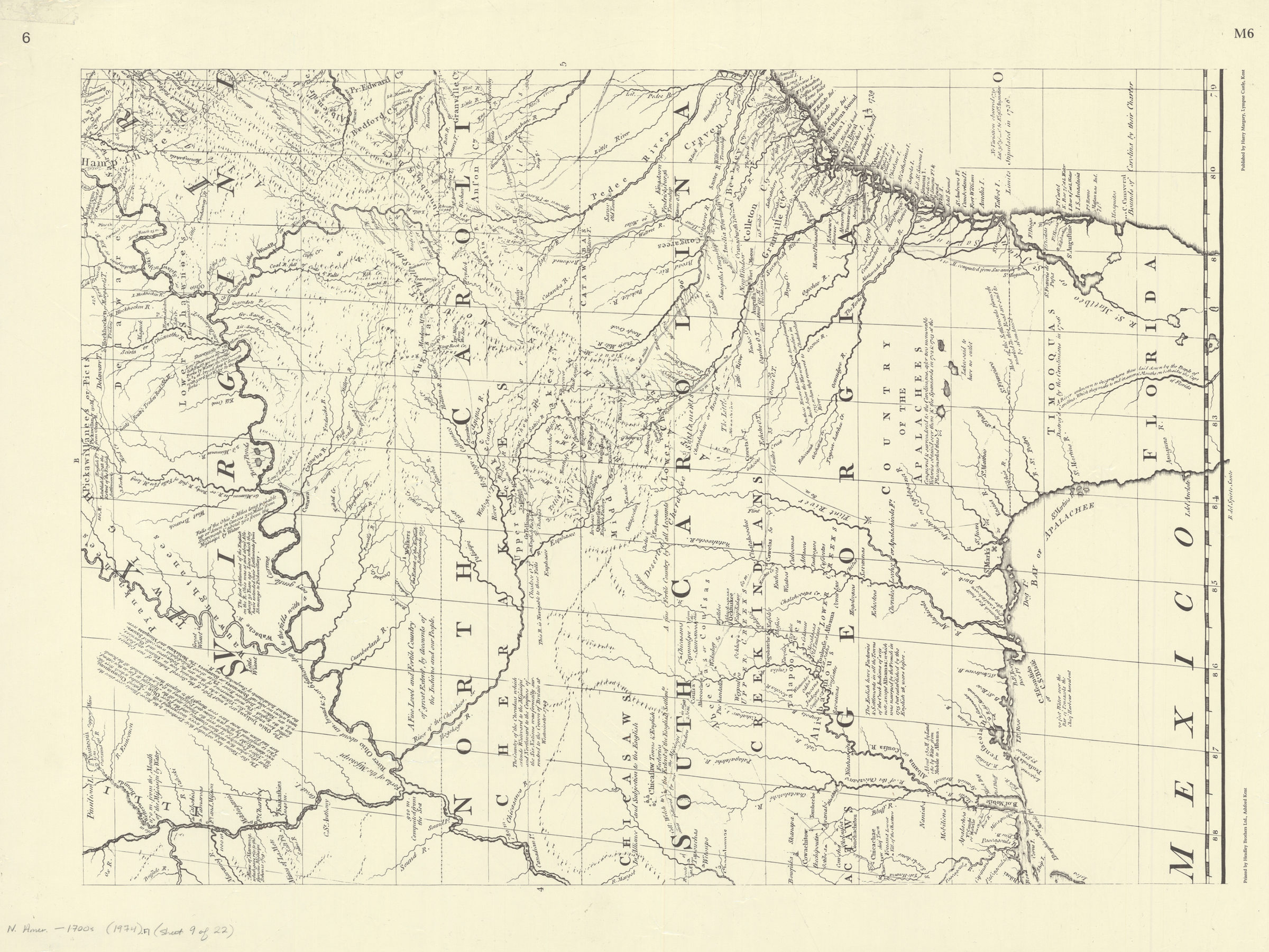
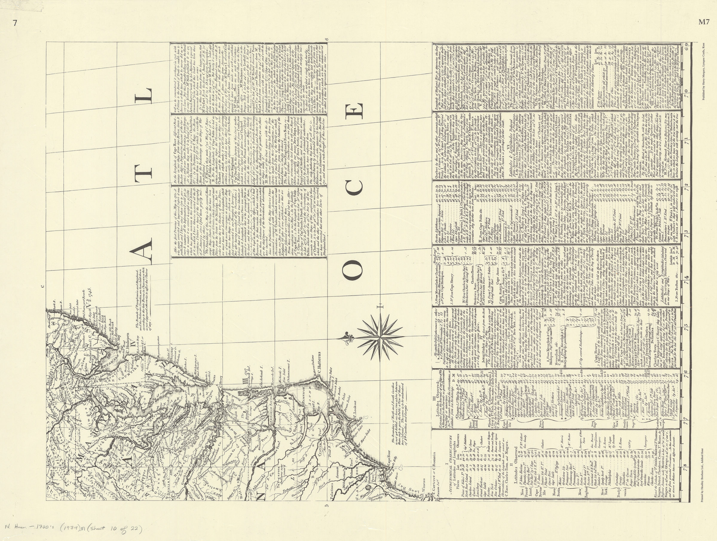
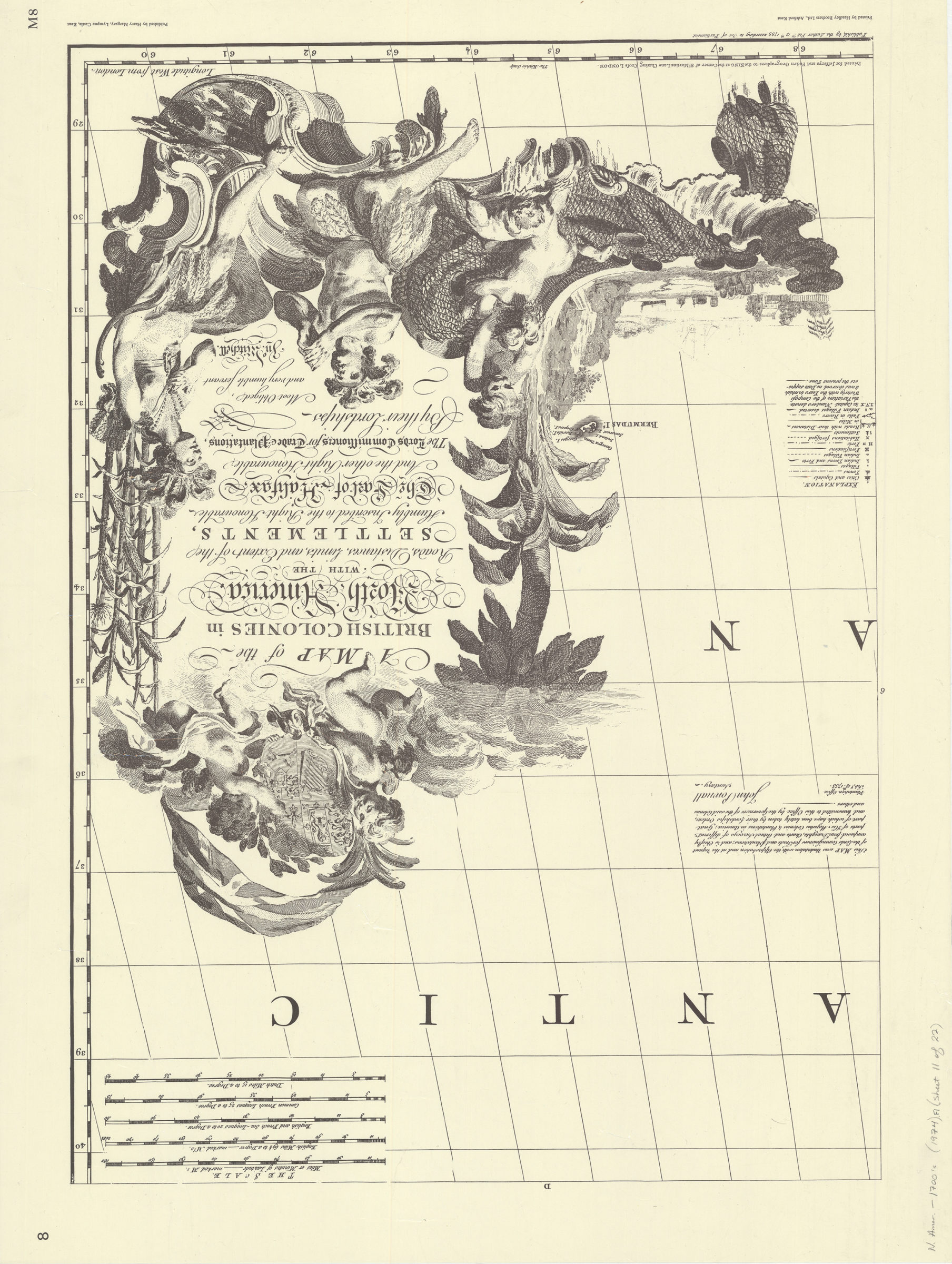
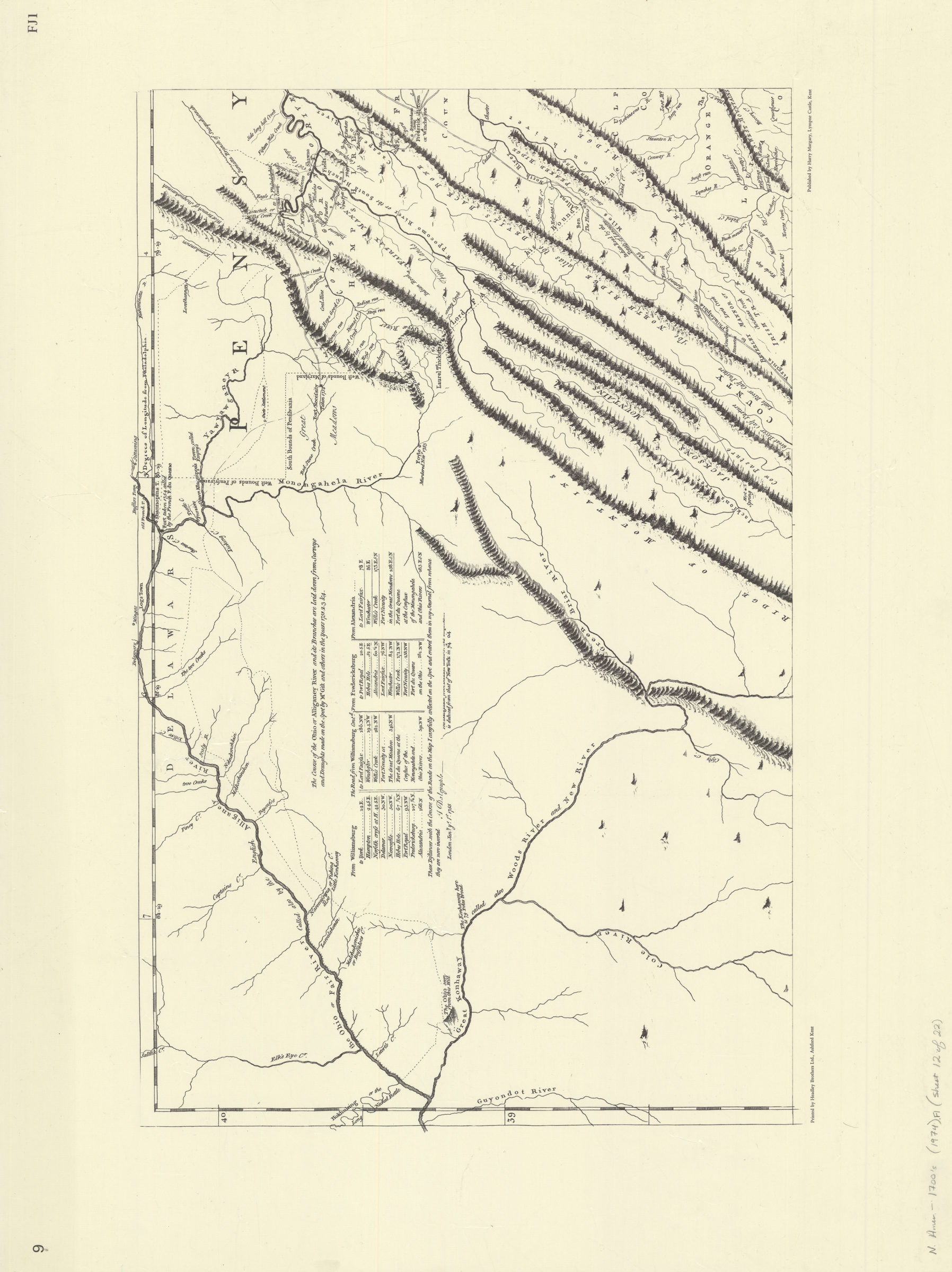
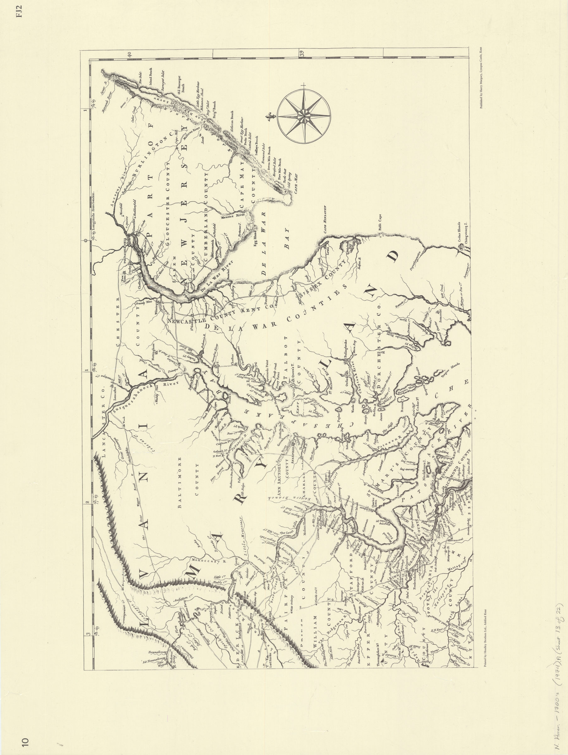
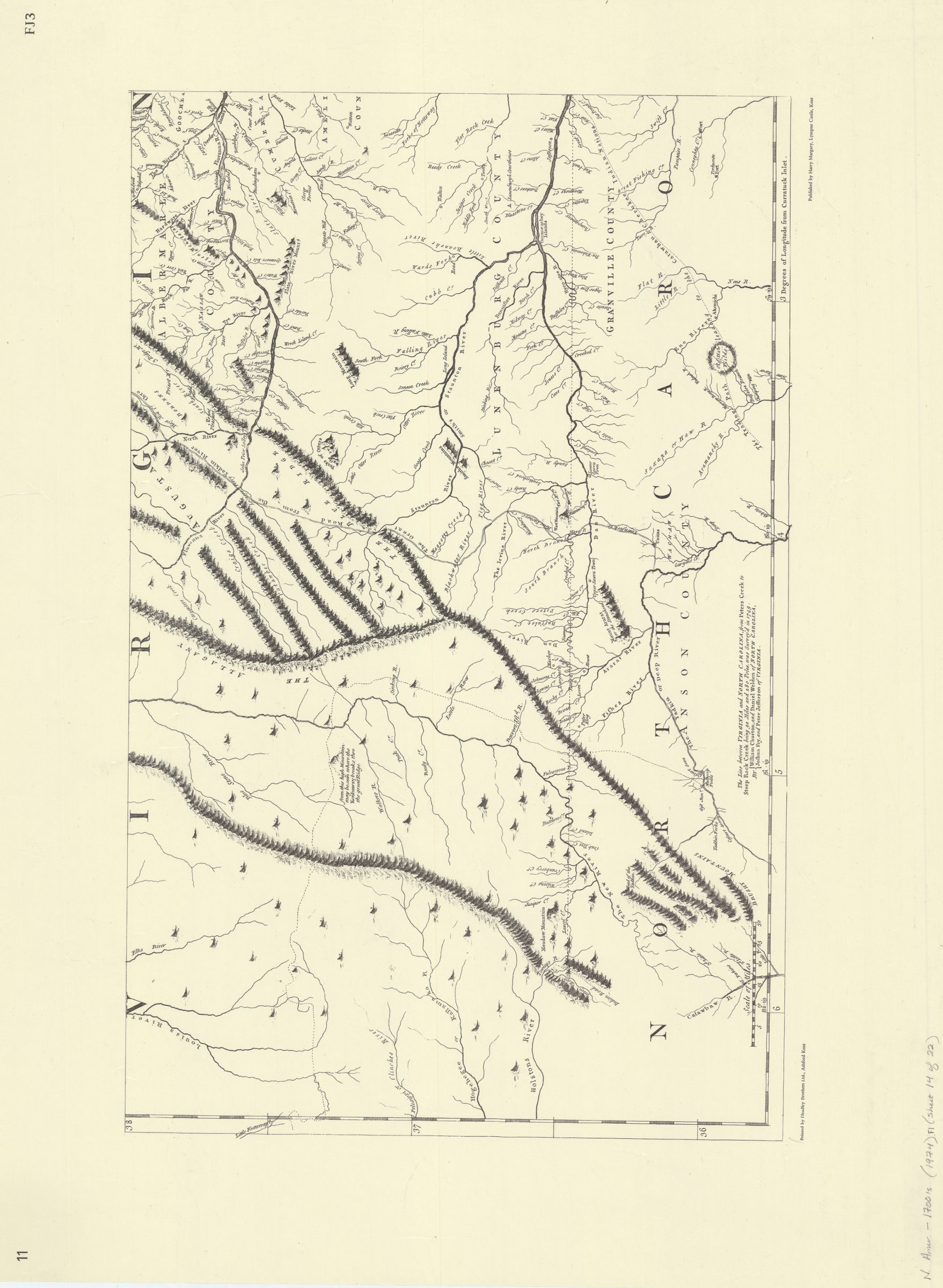
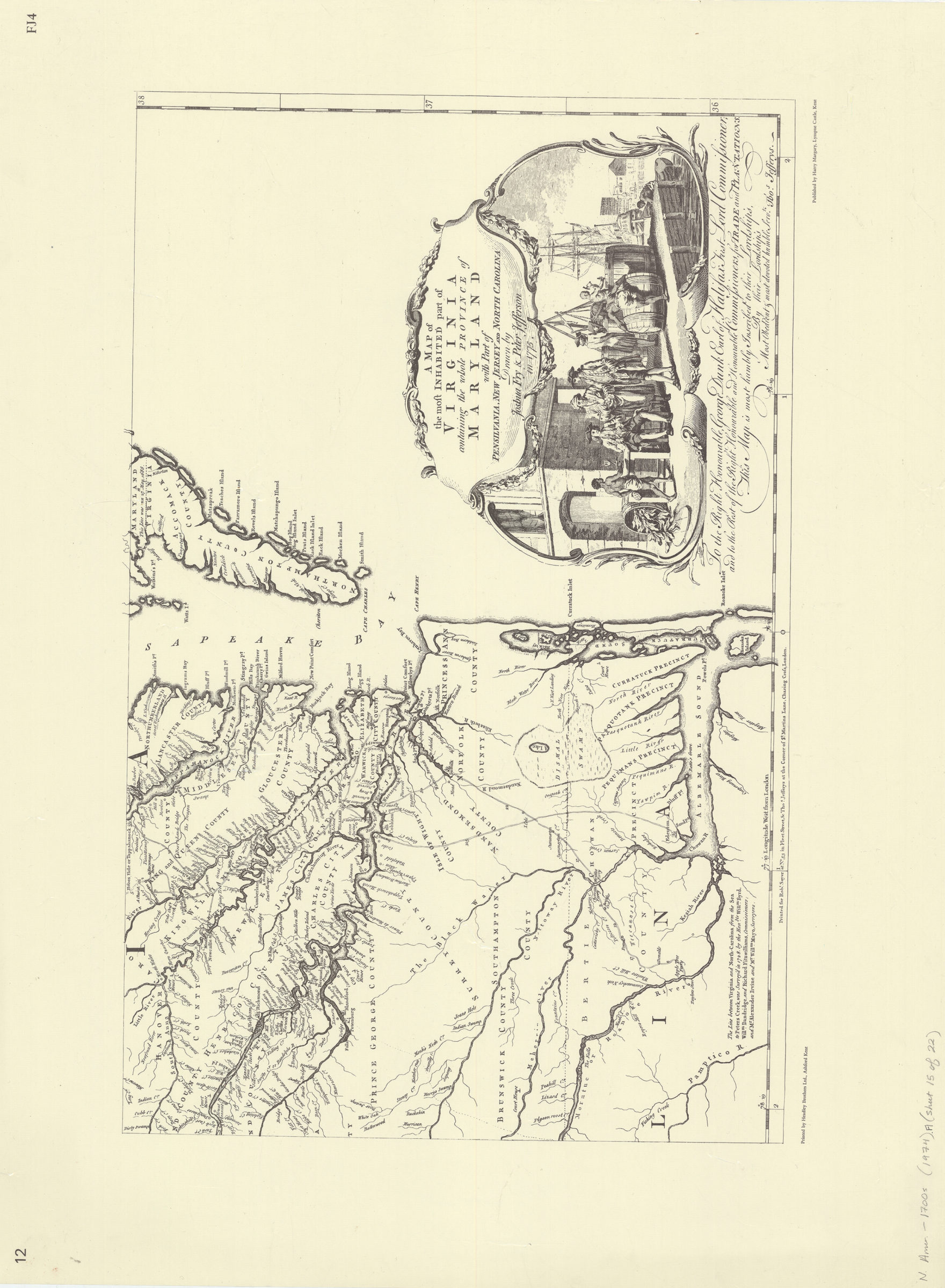
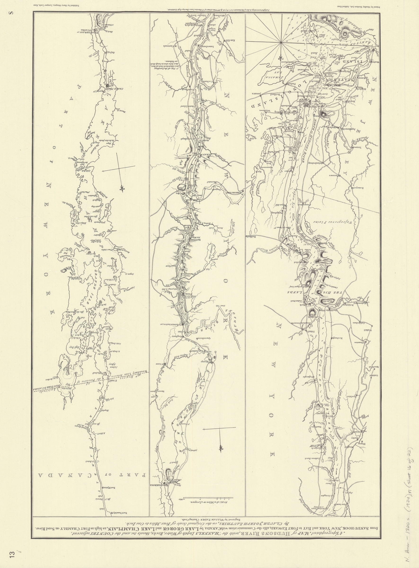
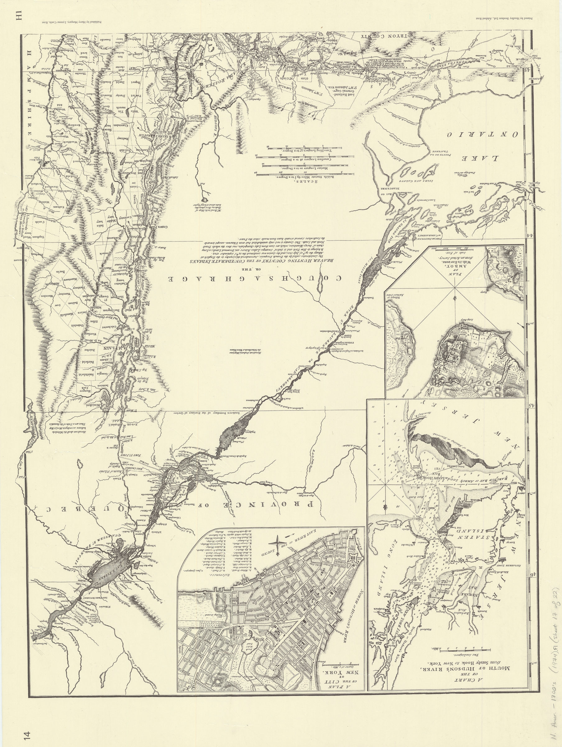
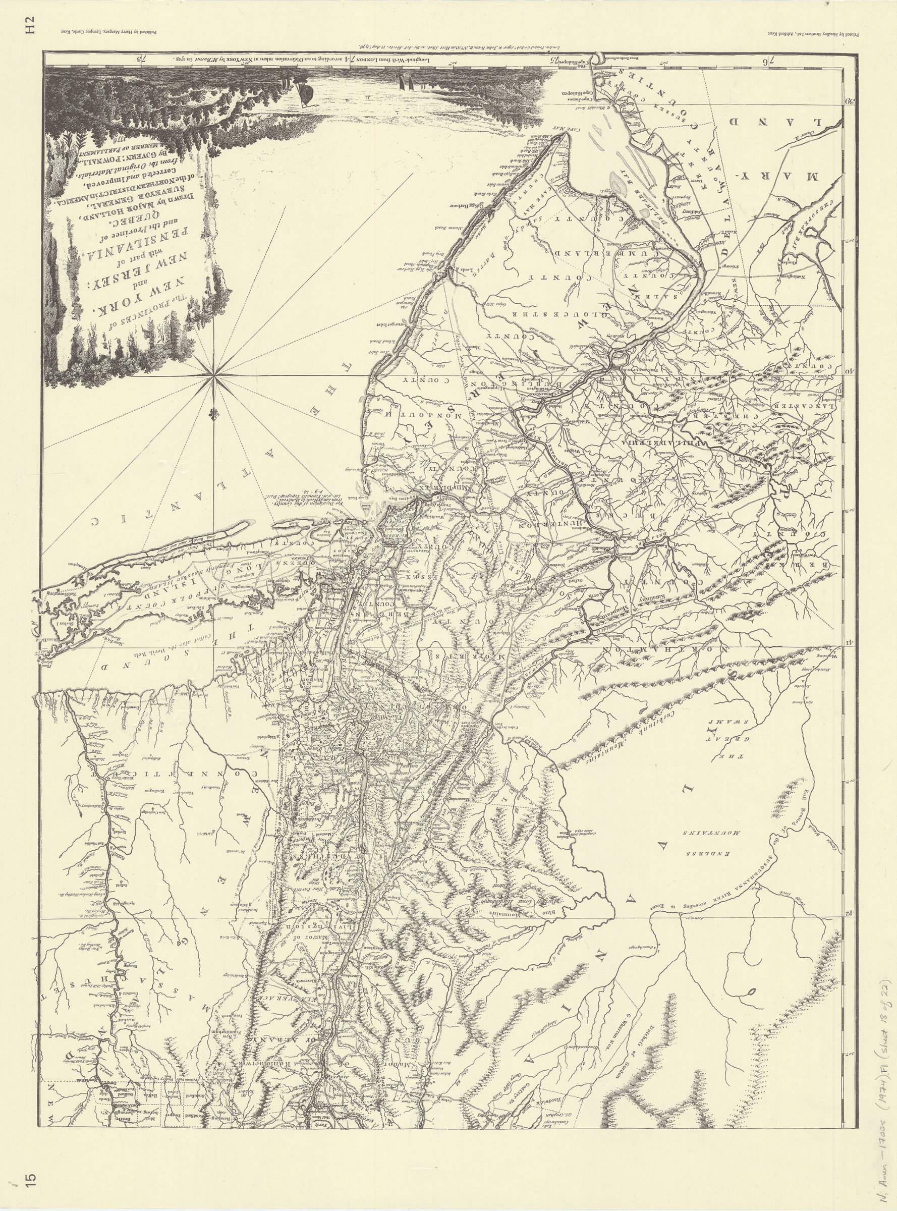
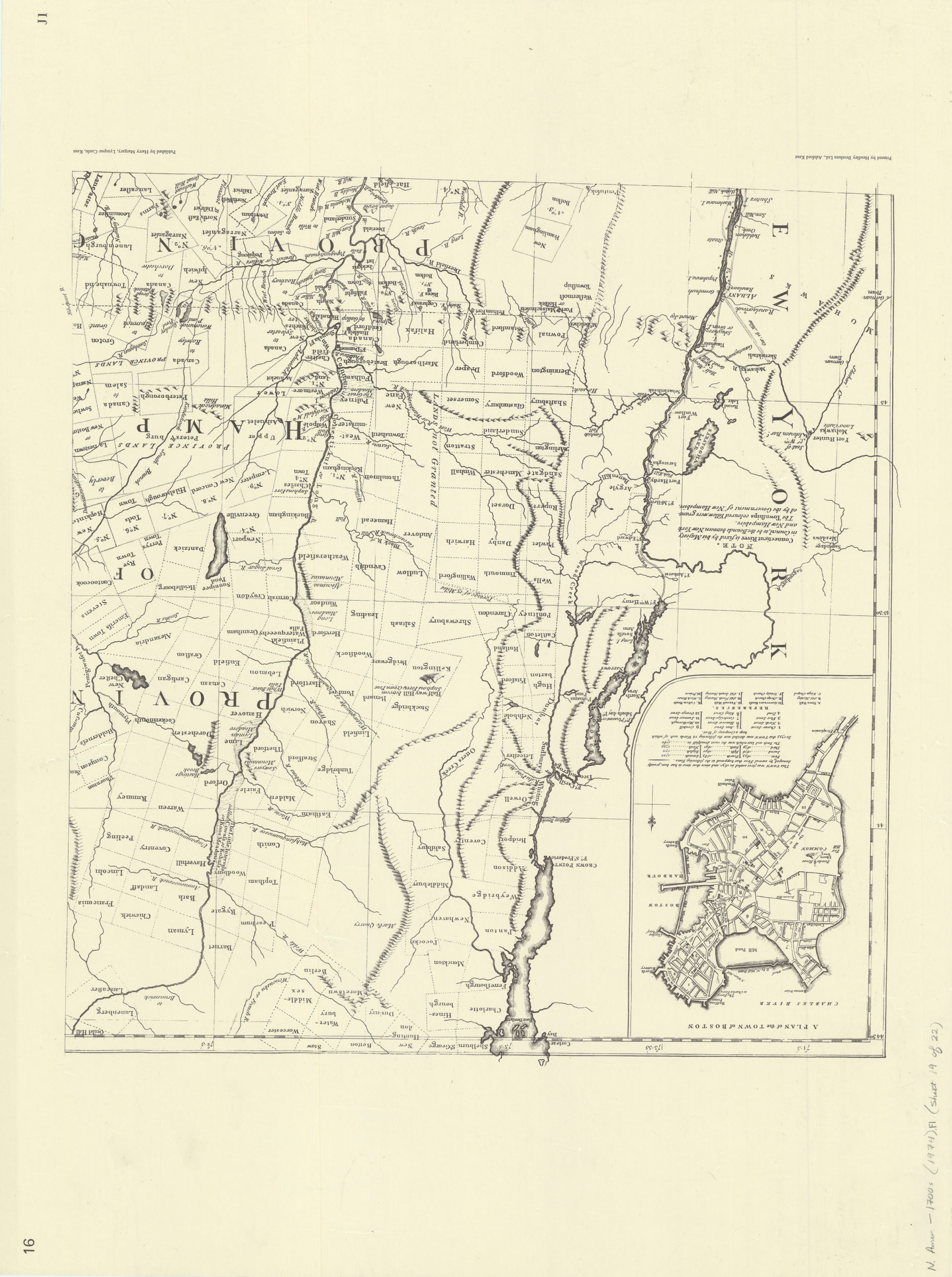
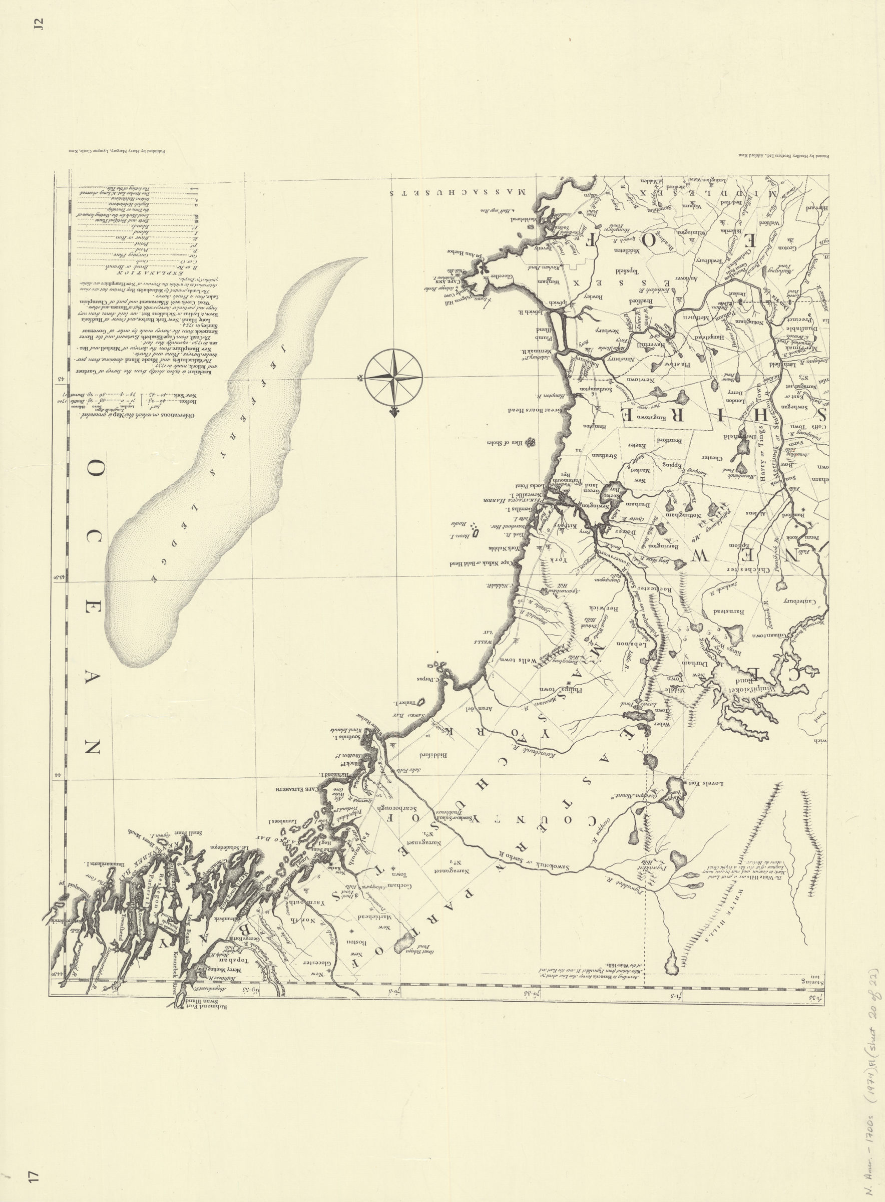
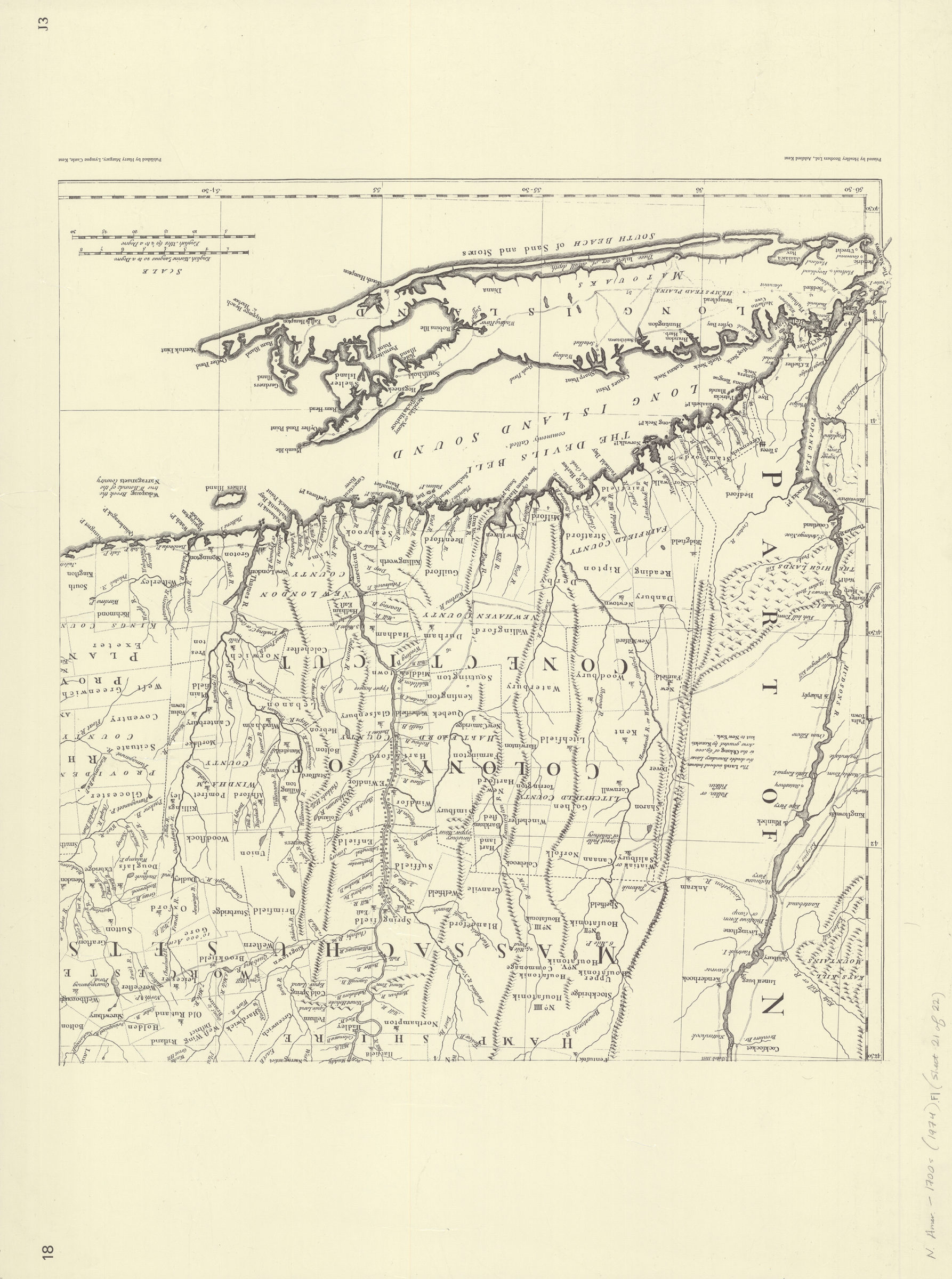
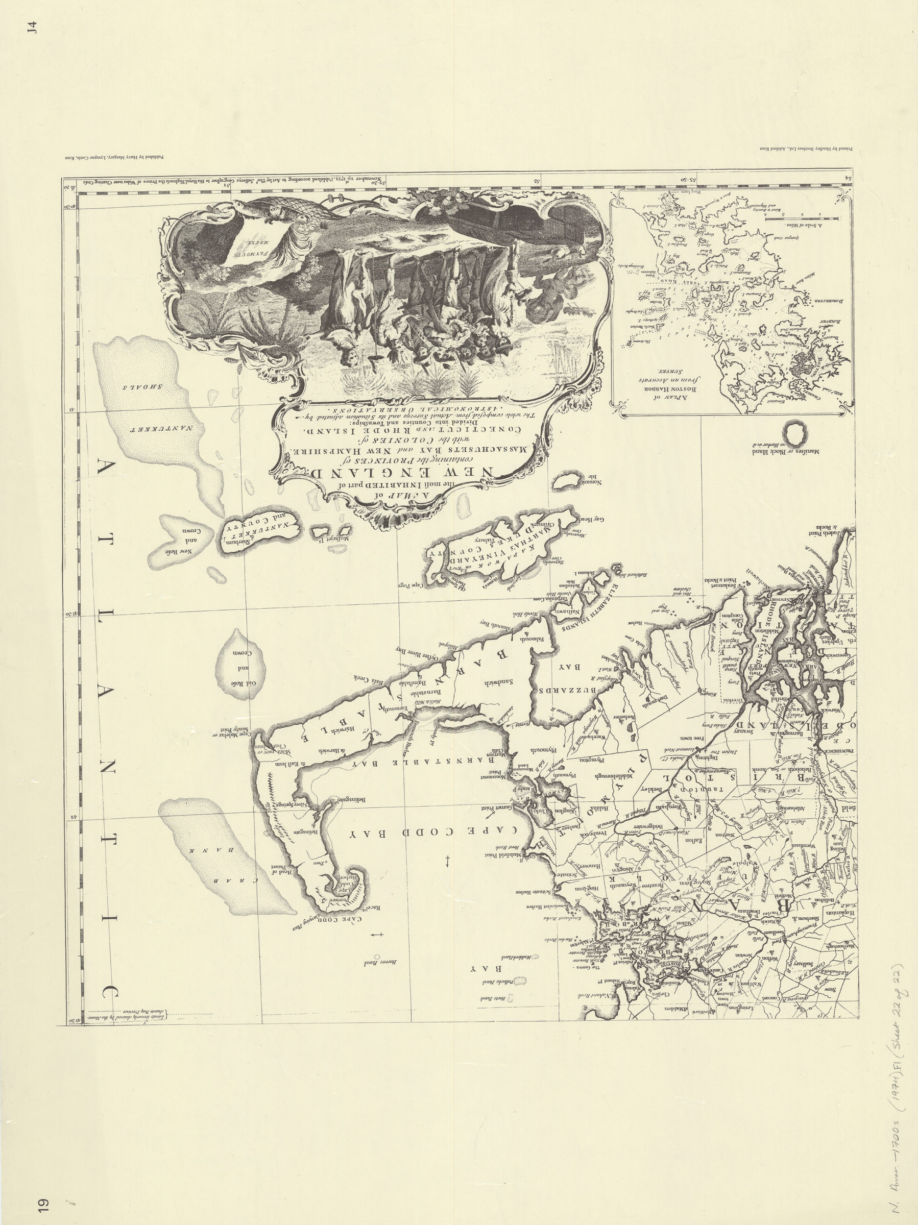
Facsimile. “Part II.” Includes text and ill. Maps are given various numbering (see contents). Introduction. Sheets M1-8. A map of the British colonies in North America. Sheets FJ1 to FJ4. A map of the most inhabited part of Virginia. Sheet S1. A topographical map of Hudson River. Sheets H1 and H2. The provinces of New York and New Jersey. Sheets J1 to J4. A map of the most inhabited part of New England.
Places
Map area shown
Genre
Early mapsRelation
Full catalog recordSize
58 × 76 cmDownload
Low Resolution Image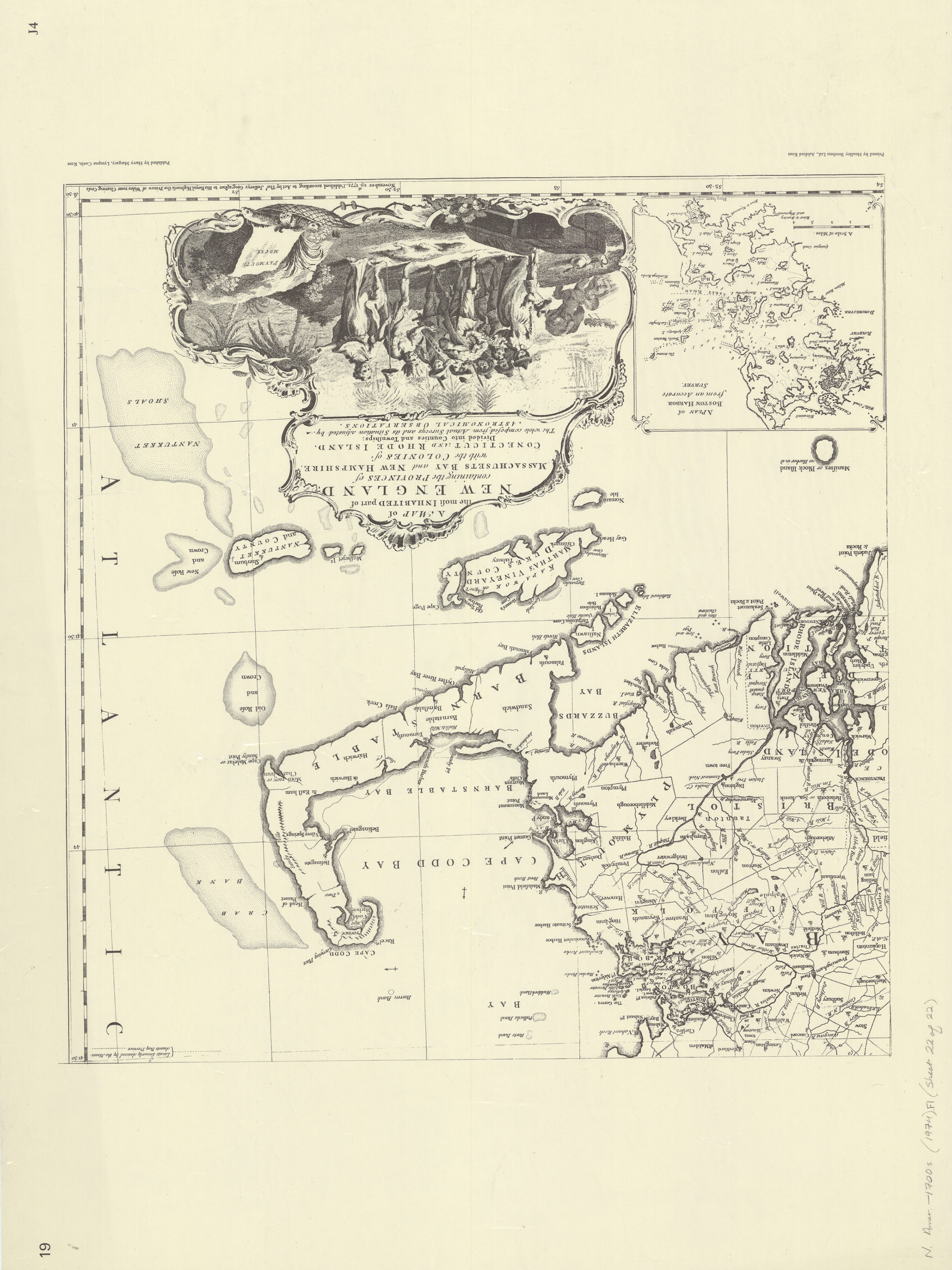
Creator
De Vorsey, Louis; Margary, Harry; Jefferys and Faden, London,Publisher
Brooklyn Historical SocietyCitation
North America at the time of the revolution: a collection of eighteenth century maps: with introductory notes by Louis de Vorsey, Jr; 1974, Map Collection, N. Amer.-1700s (1974).Fl; Brooklyn Historical Society.Scale
Scales differLoading zoom image...