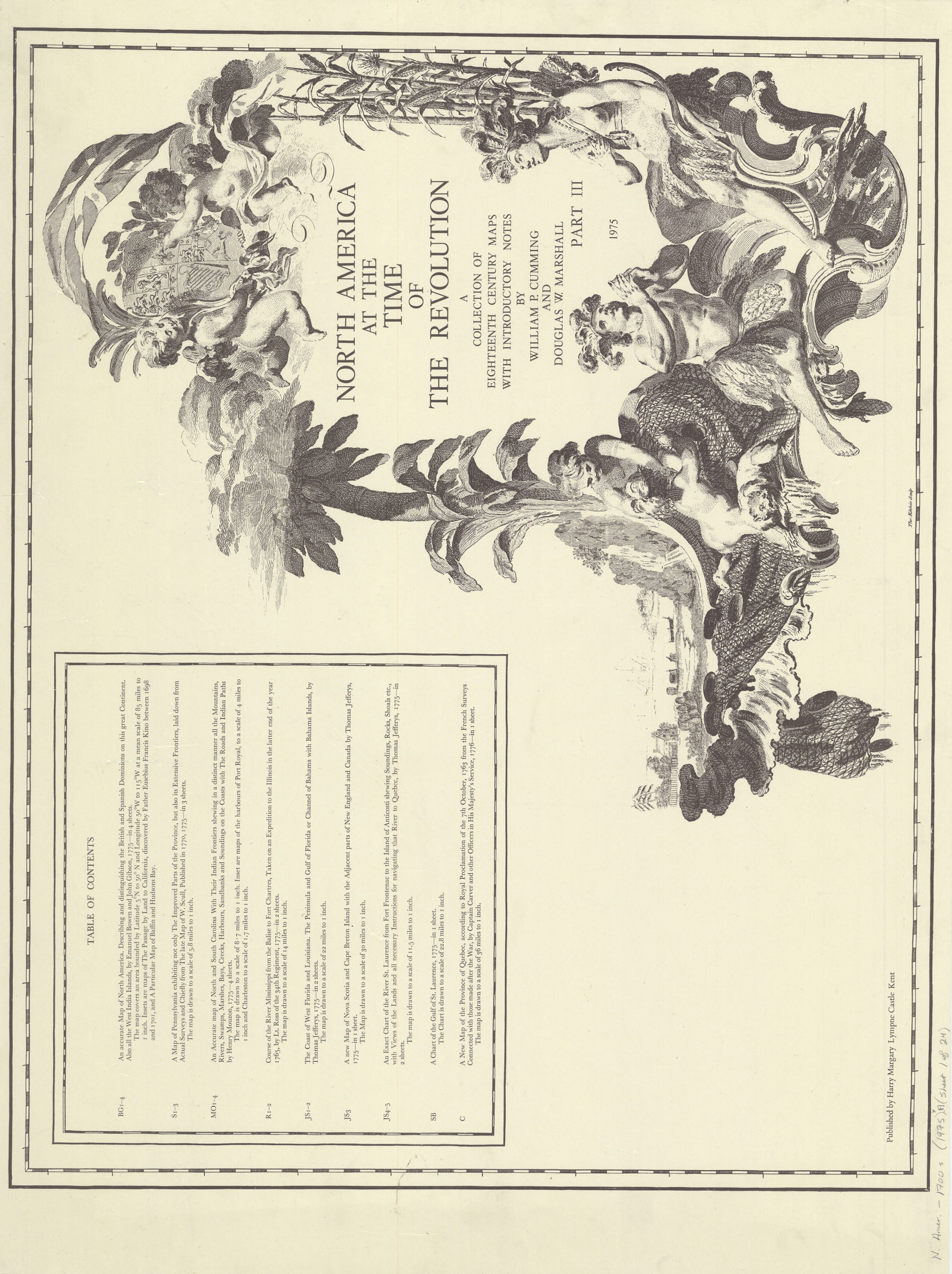
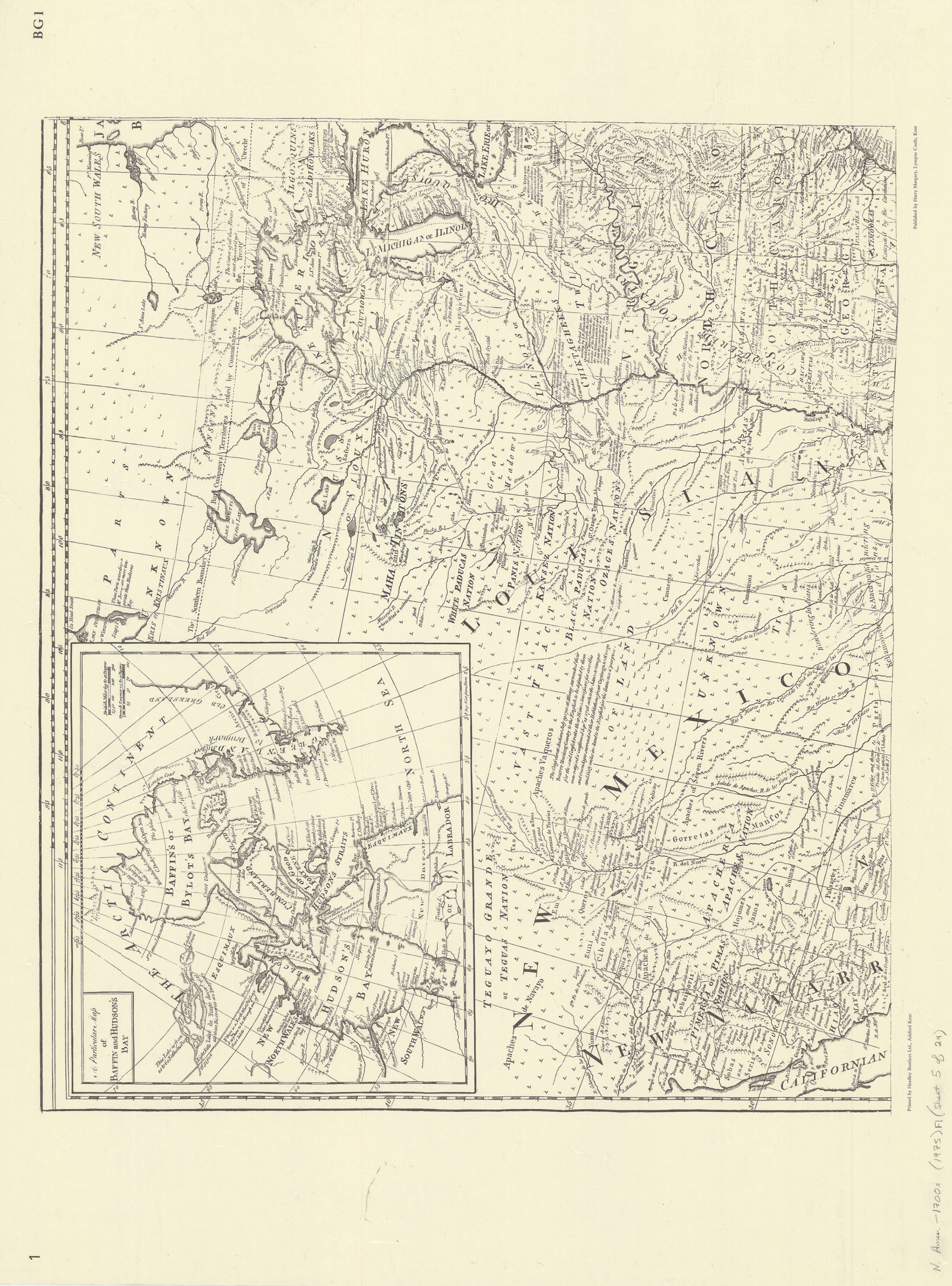
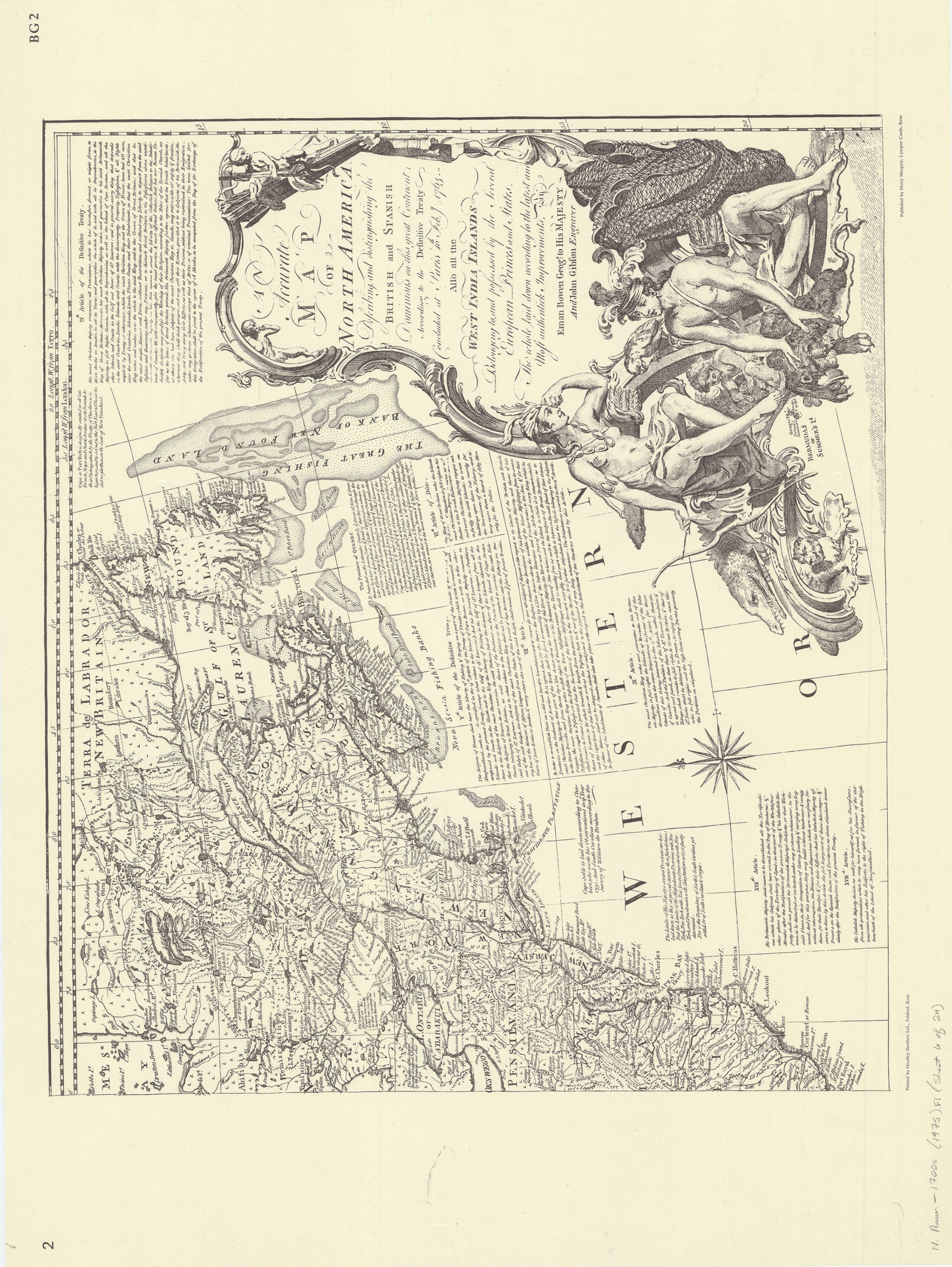
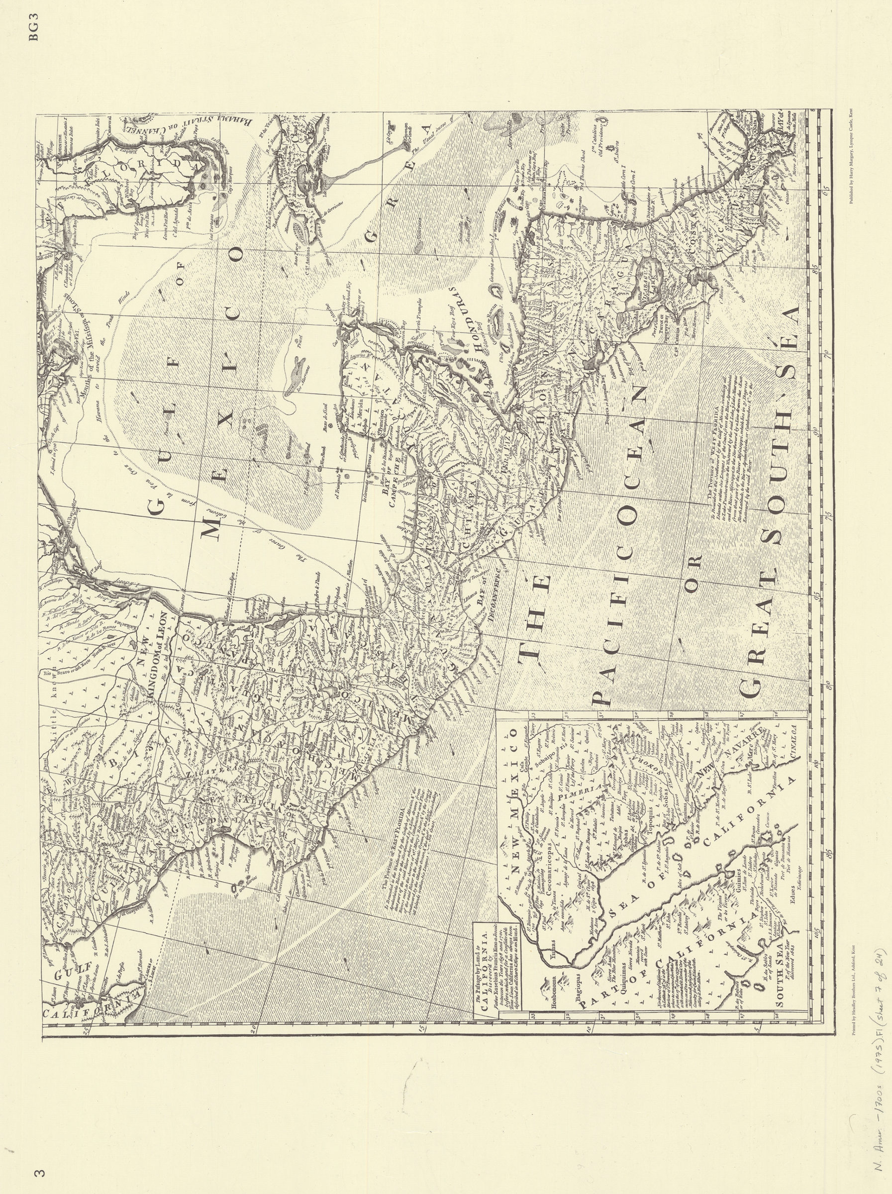
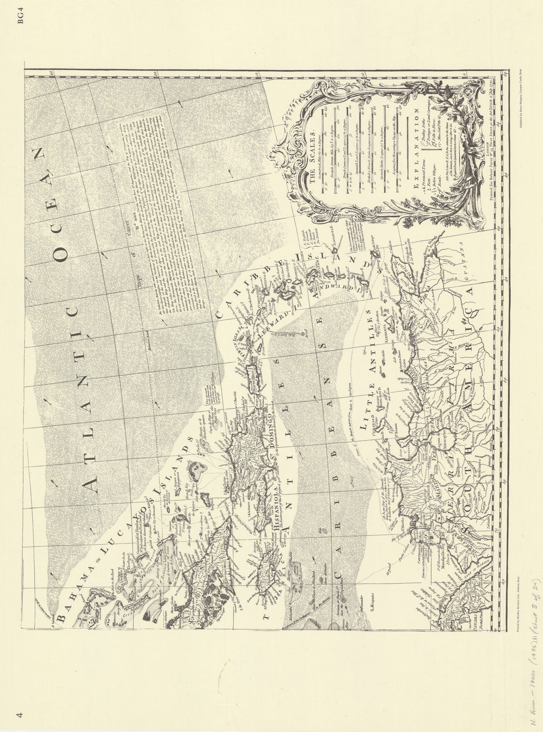
North America at the time of the revolution: a collection of eighteenth century maps: with introductory notes by William P. Cumming and Douglas W. Marshall 1975
Map No. N. Amer.-1700s (1975).Fl
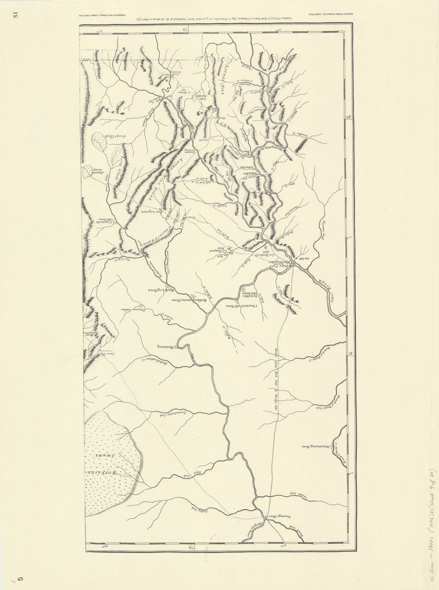
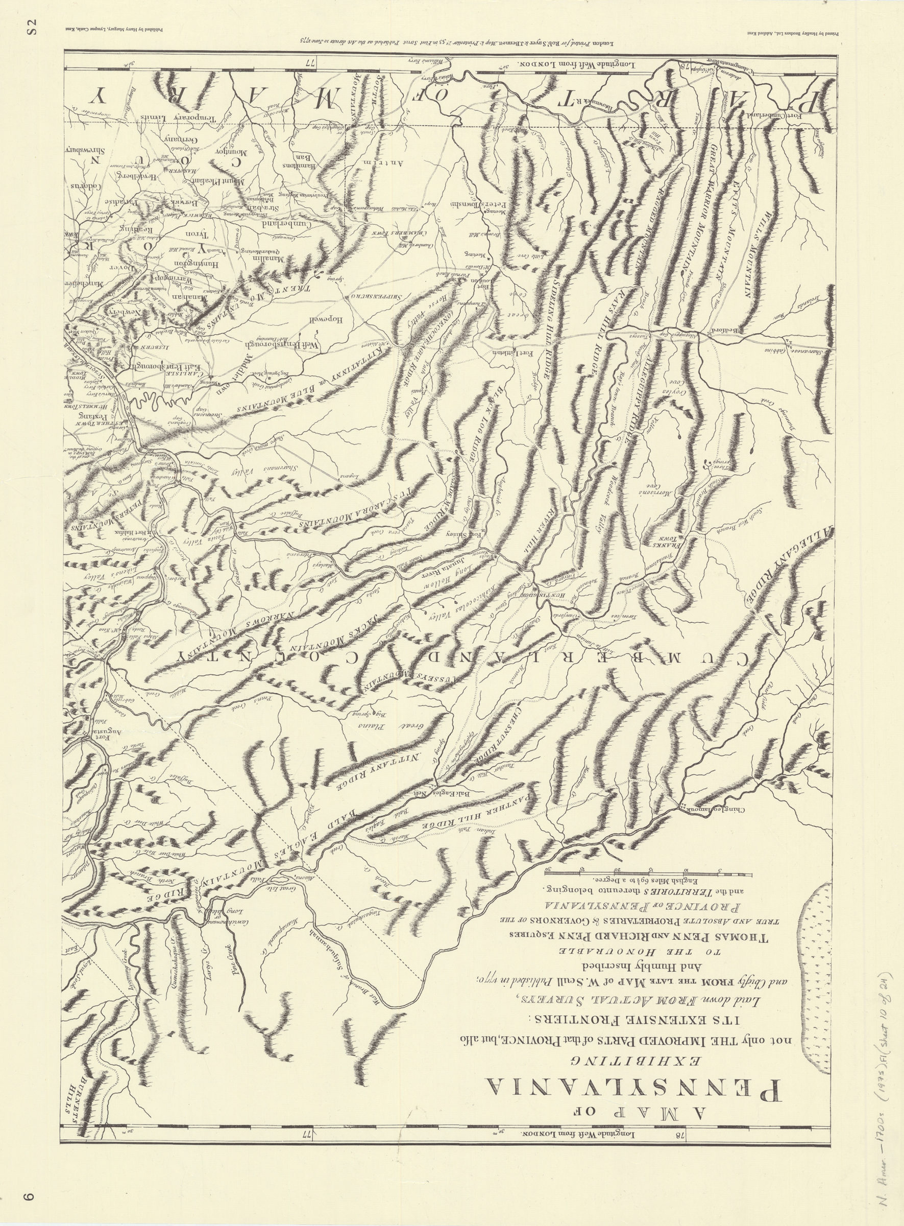
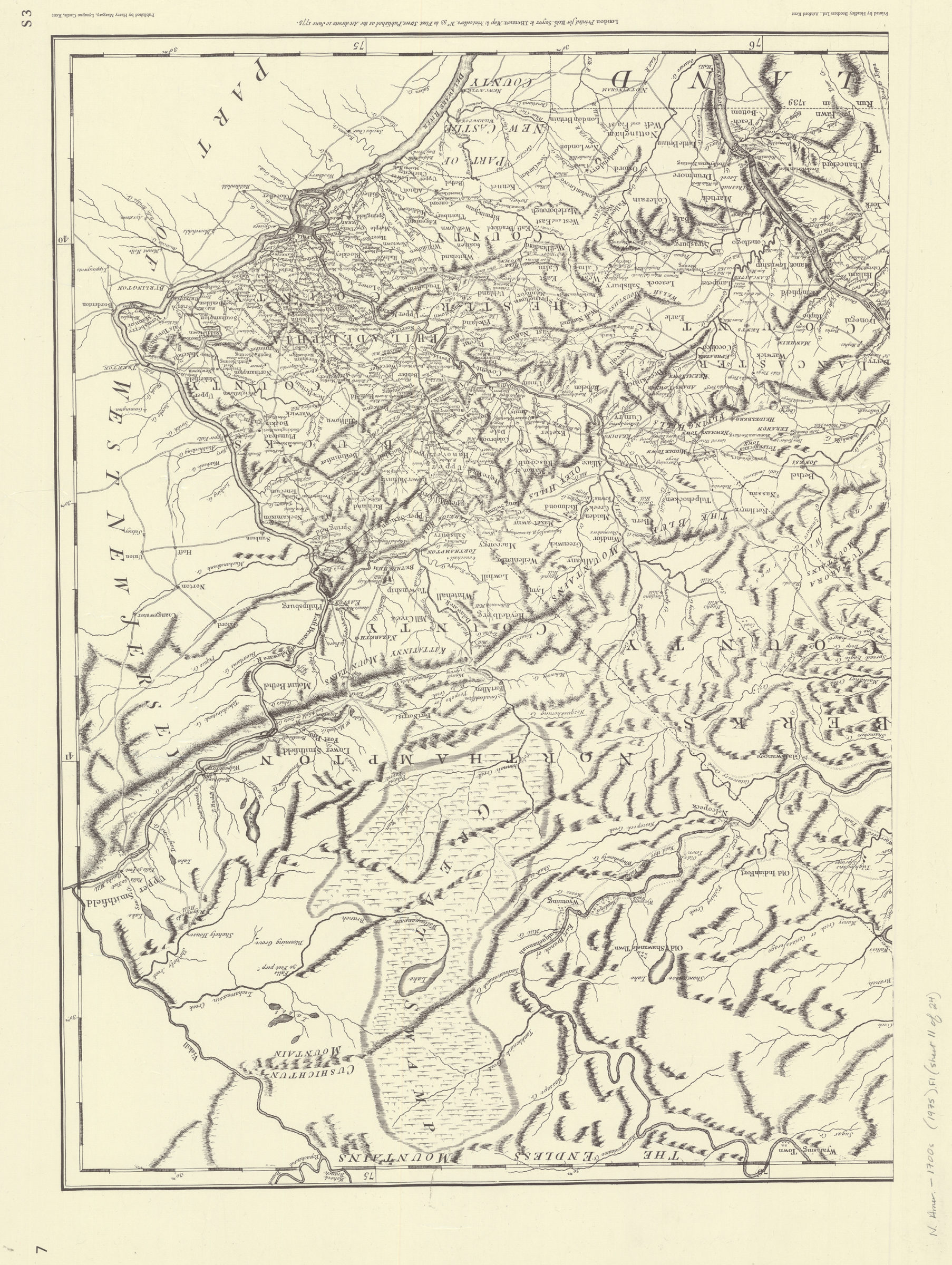
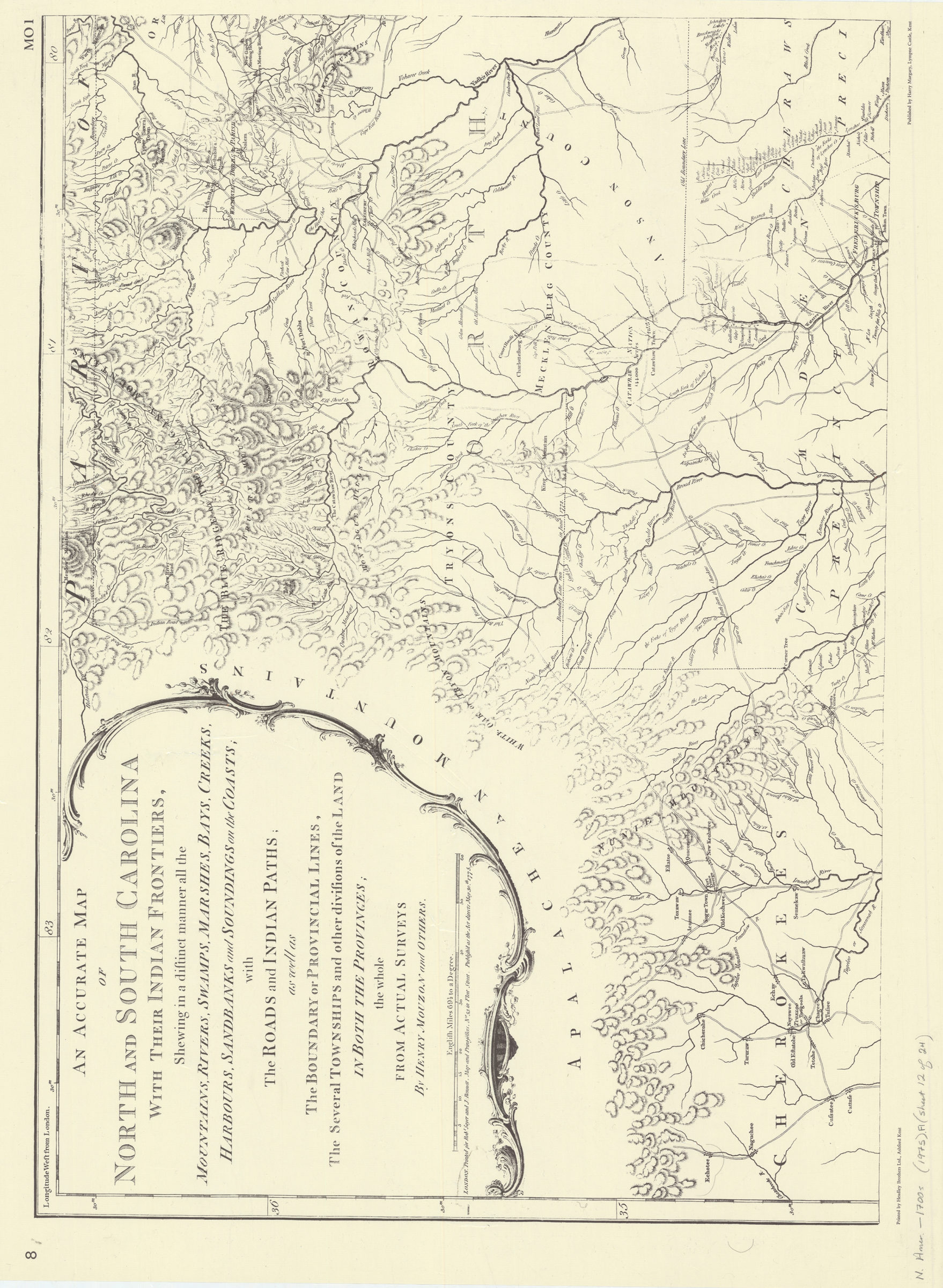
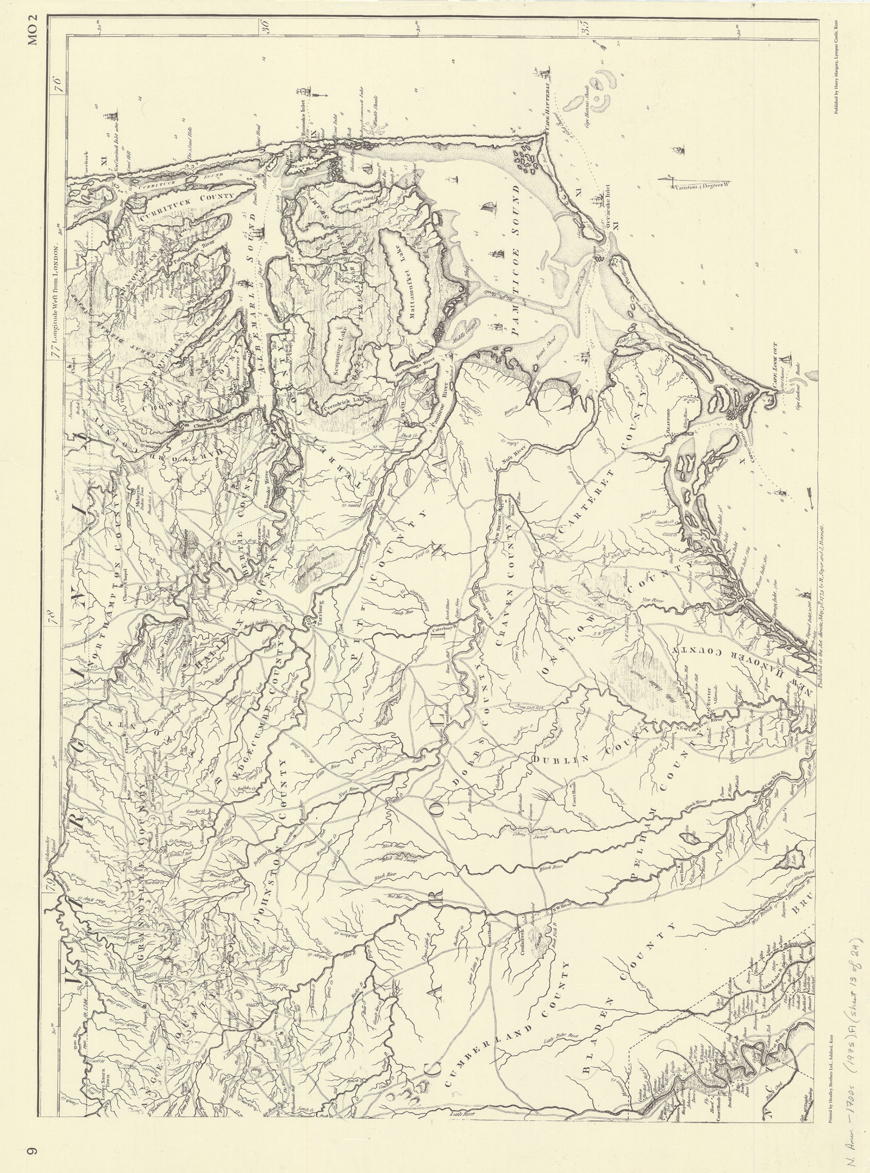
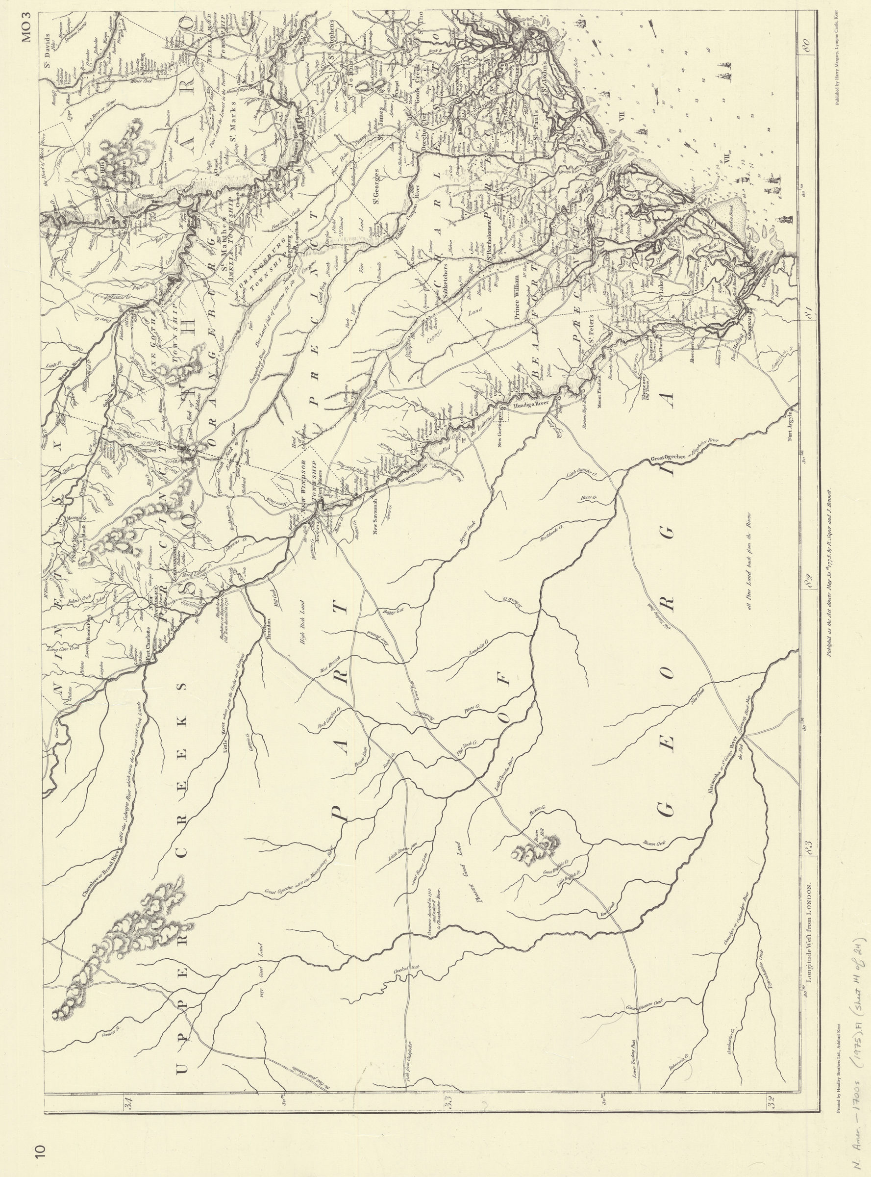
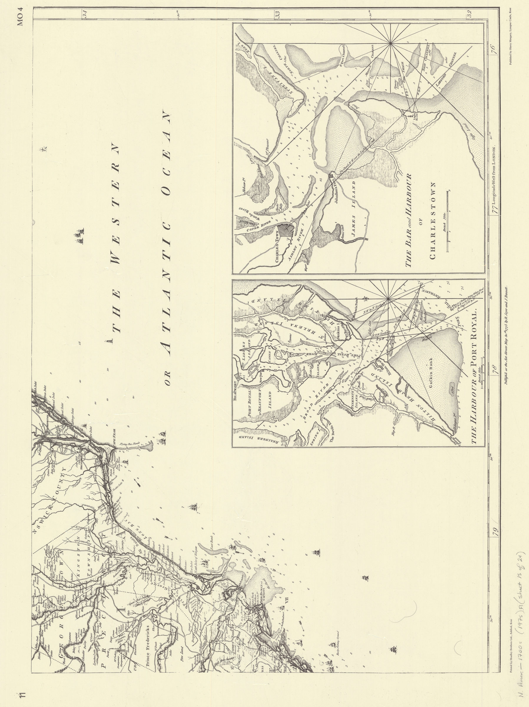
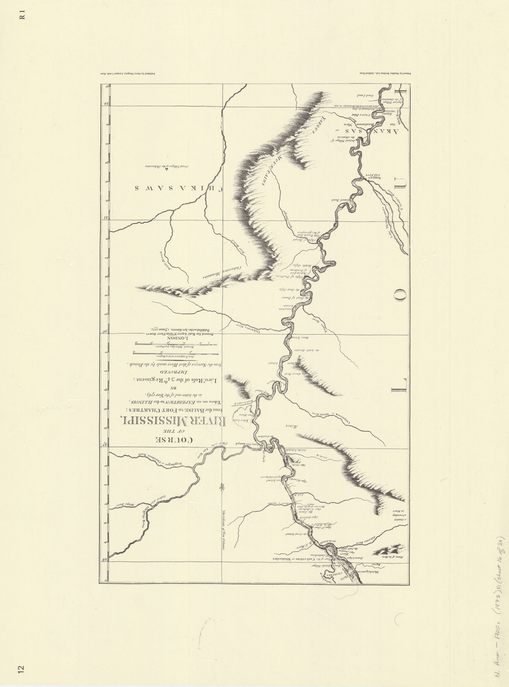
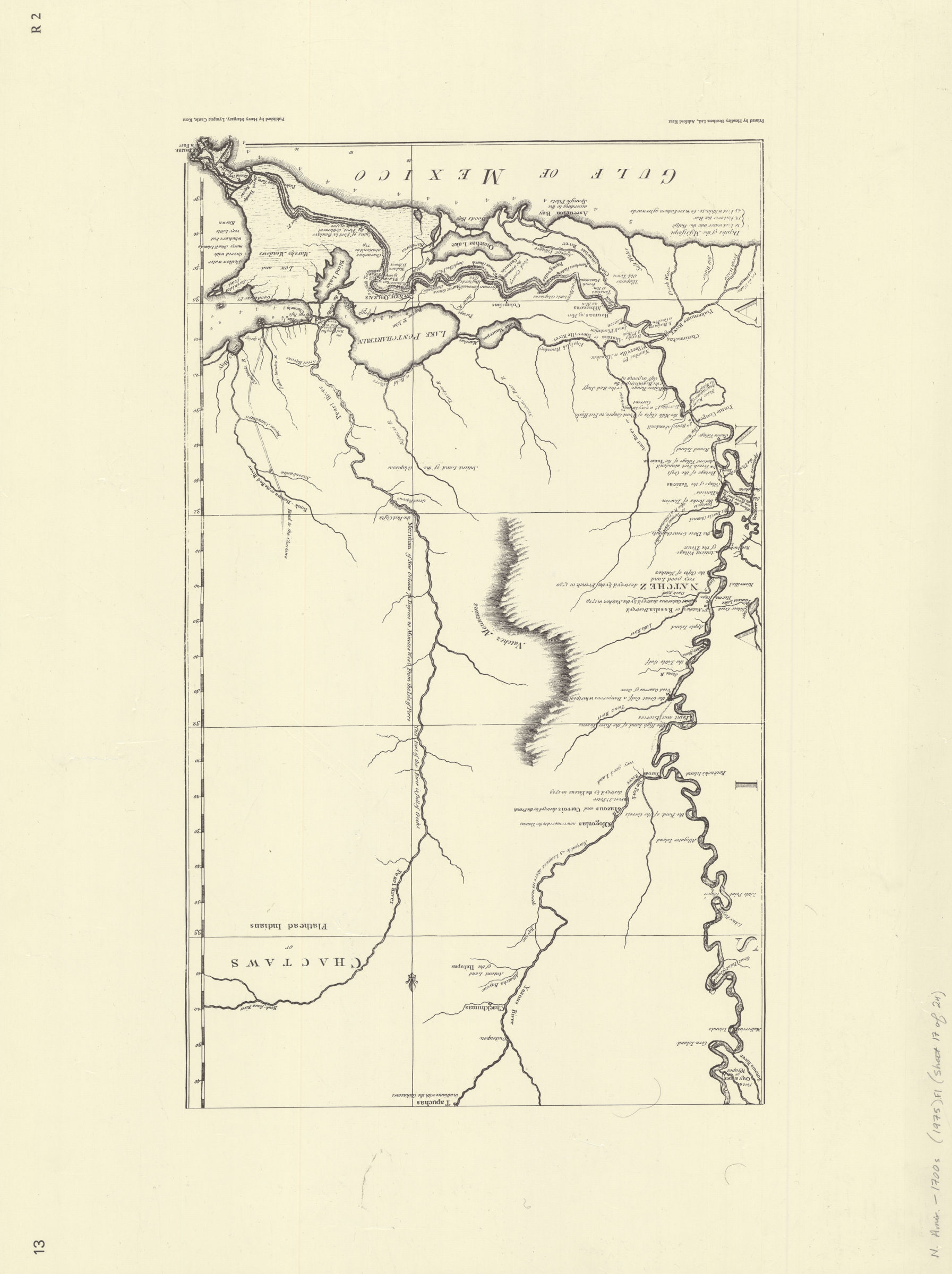
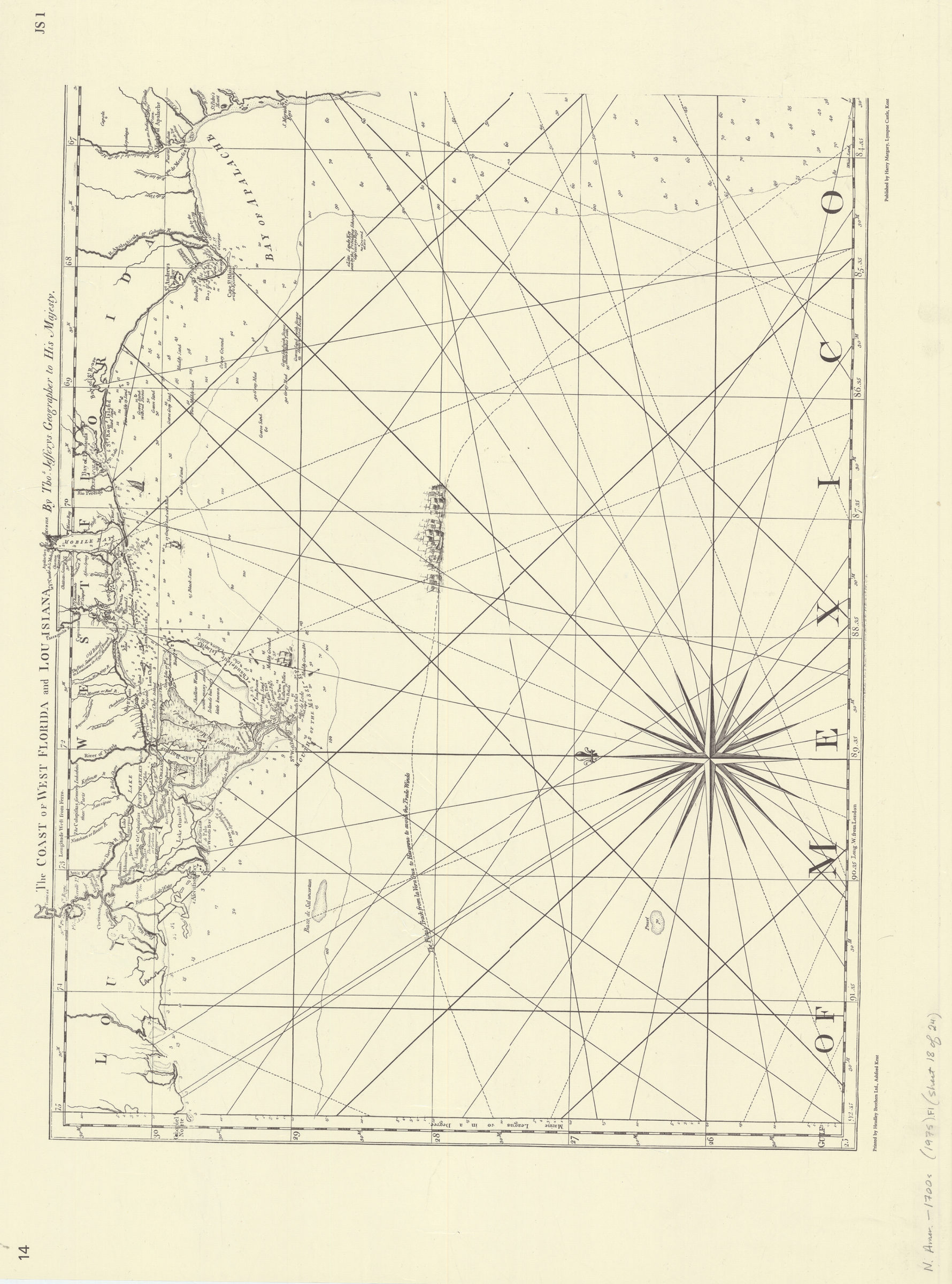
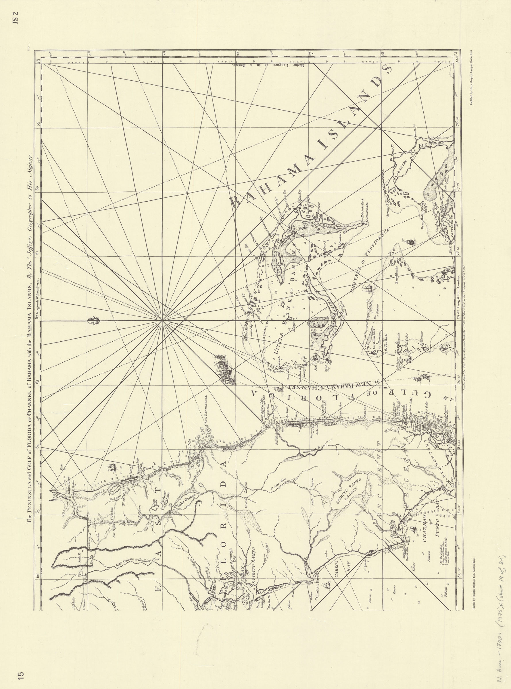
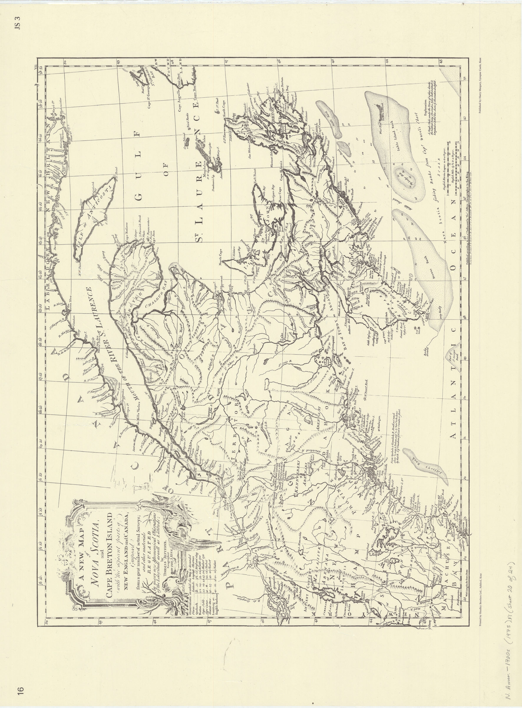
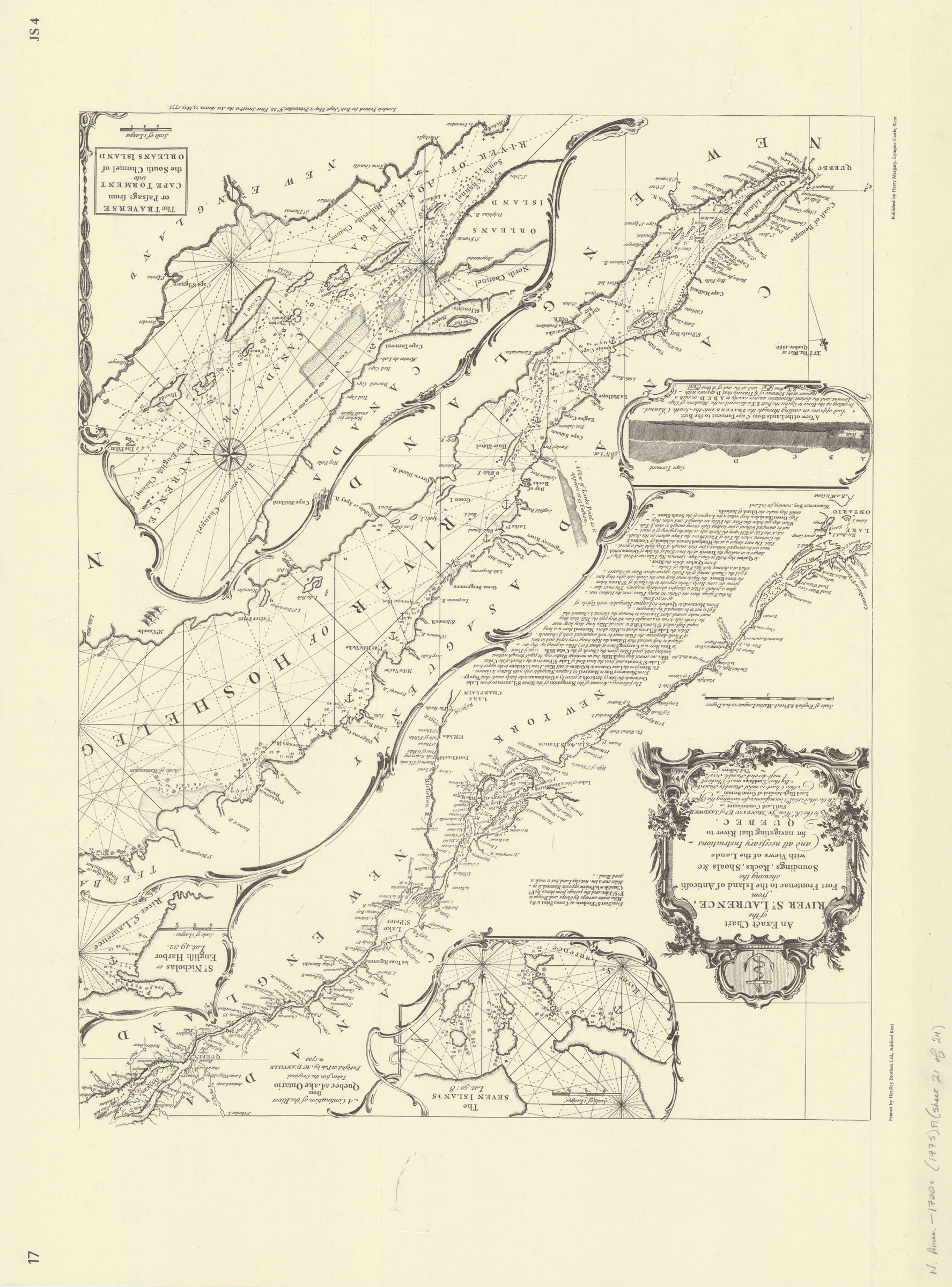
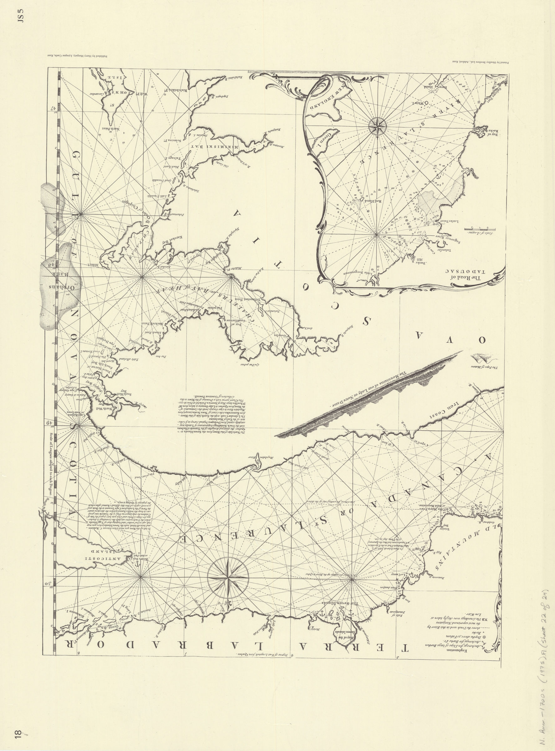
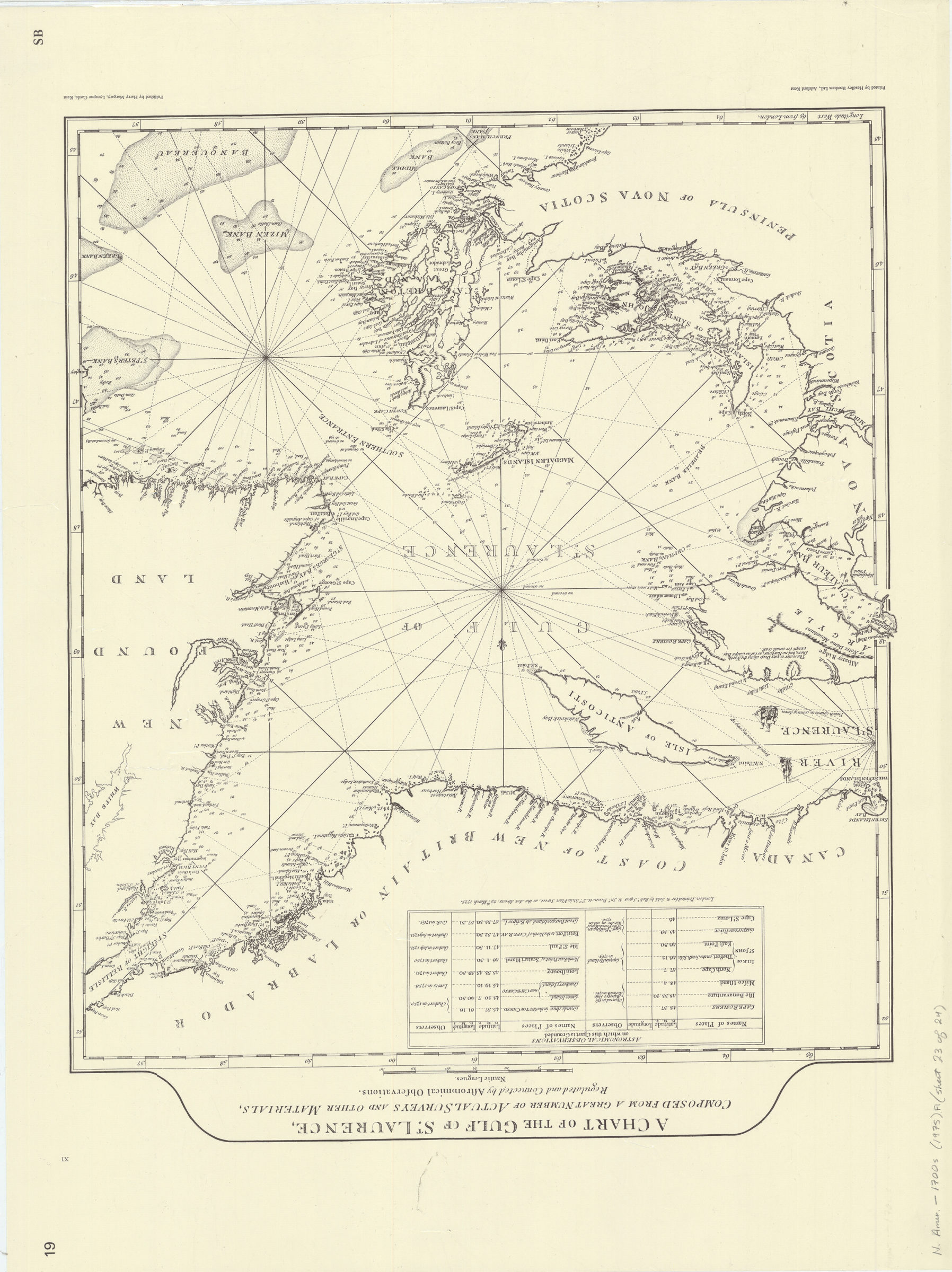
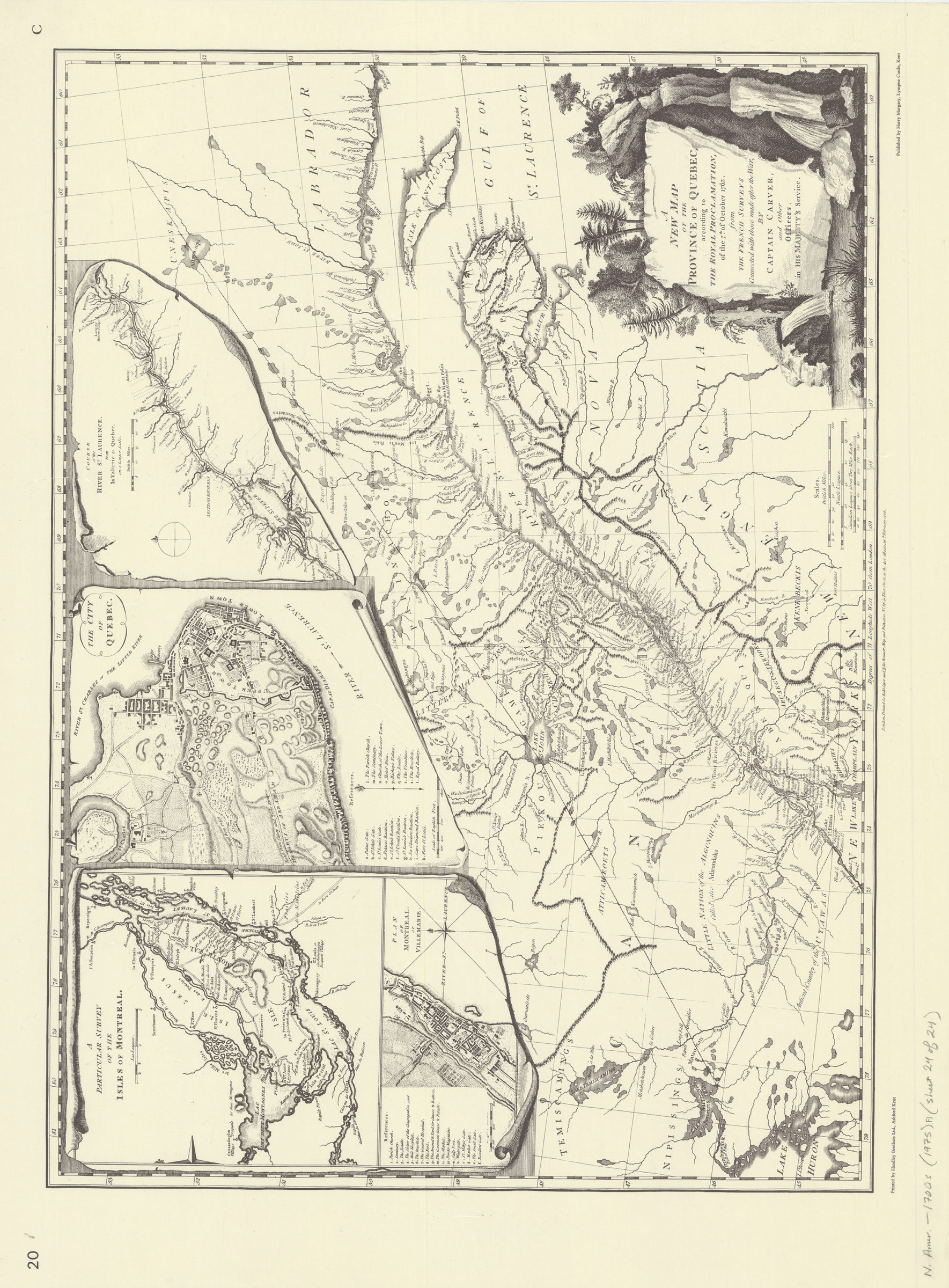
Includes 4 leaves of preliminaries. Facsimiles. Originally published 1775 -An accurate map of North America. / E. Bowen. 1775. A map of Pennsylvania. / T. Penn. 1775. An accurate map of North and South Carolina with their Indian frontiers. / H. Mouzon. 1775. Course of the river Mississippi. / Ross. 1765. The coast of west Florida and Louisiana. 1775 The peninsula and Gulf of Florida or Channel of Bahama. A new map of Nova Scotia and Cape Breton Island. 1775 An exact chart of the River St. Laurence. 1775 / T. Jefferys. A chart of the Gulf of St. Laurence. 1775 / Robert Sayer. A new map of the Province of Quebec. 1763 / Carver.
Map area shown
Genre
Early mapsRelation
Full catalog recordSize
57 × 77 cmDownload
Low Resolution Image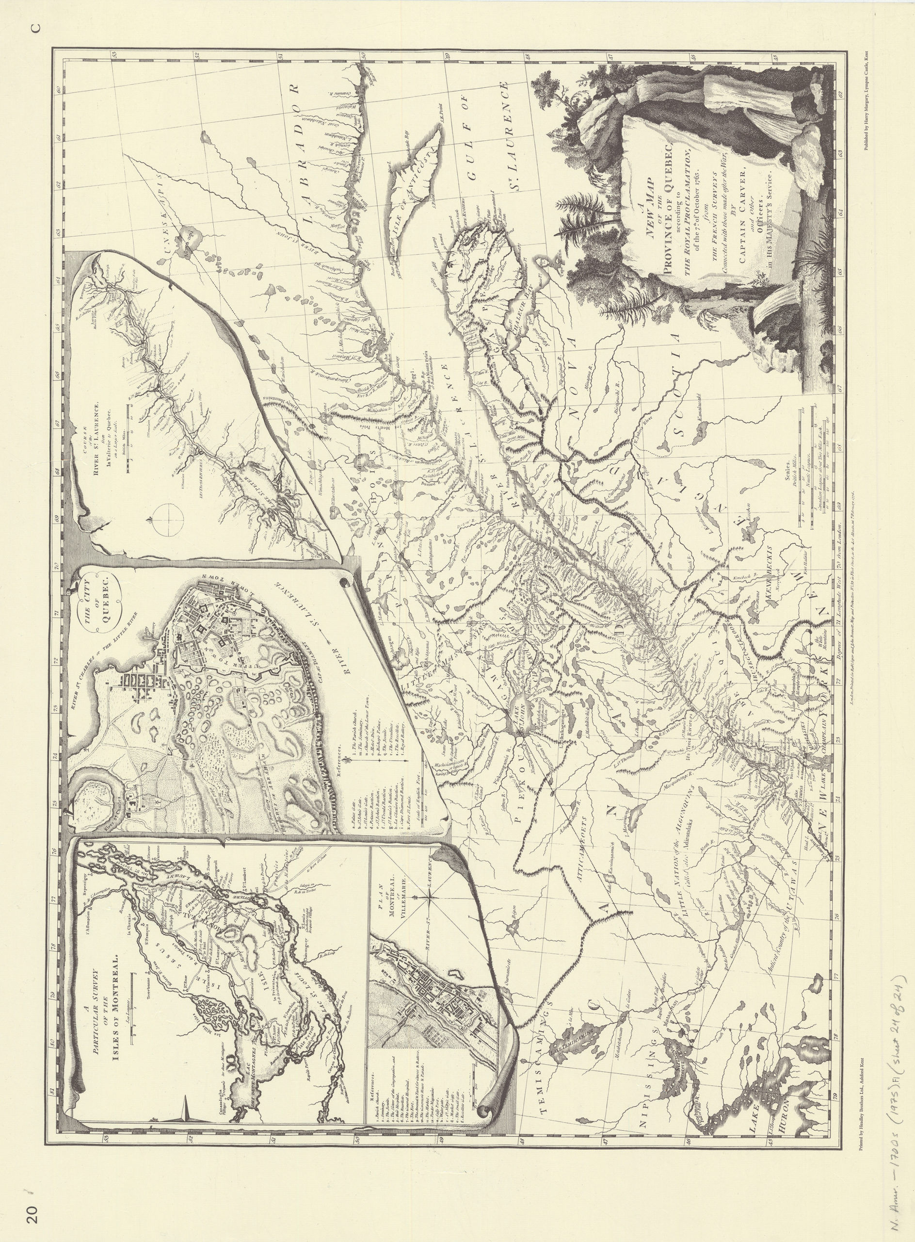
Creator
Cumming, William Patterson; Marshall, Douglas W.; Margary, Harry,Publisher
Brooklyn Historical SocietyCitation
North America at the time of the revolution: a collection of eighteenth century maps: with introductory notes by William P. Cumming and Douglas W. Marshall; 1975, Map Collection, N. Amer.-1700s (1975).Fl; Brooklyn Historical Society.Scale
Scales differLoading zoom image... 