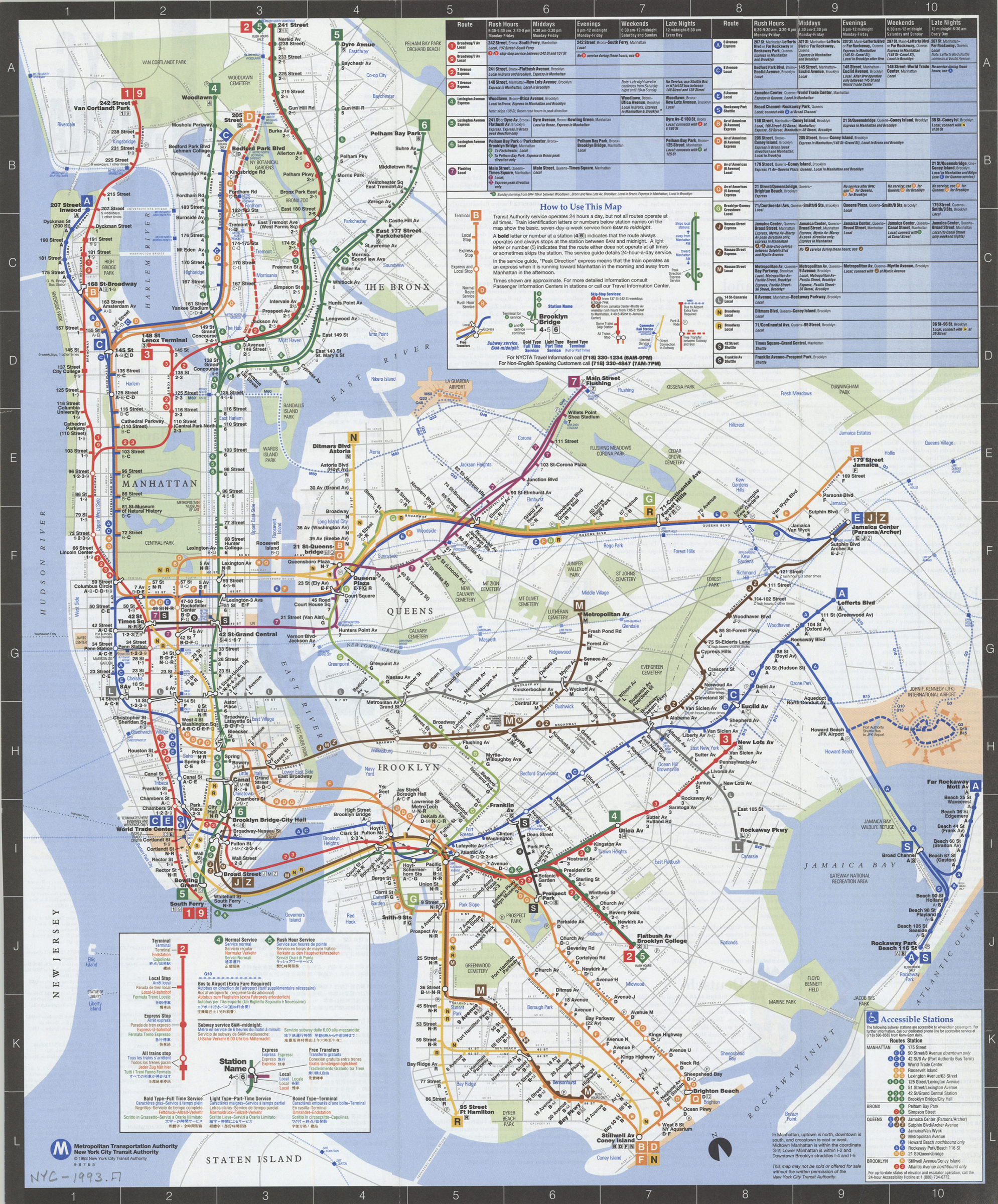

NYC subway map: June 1993, Français, Español, Deutsch, Italiano, English, Nihongo, Chung wen: New York City Transit Authority, Metropolitan Transportation Authority [ca. 1993]
Map No. NYC-1993.Fl
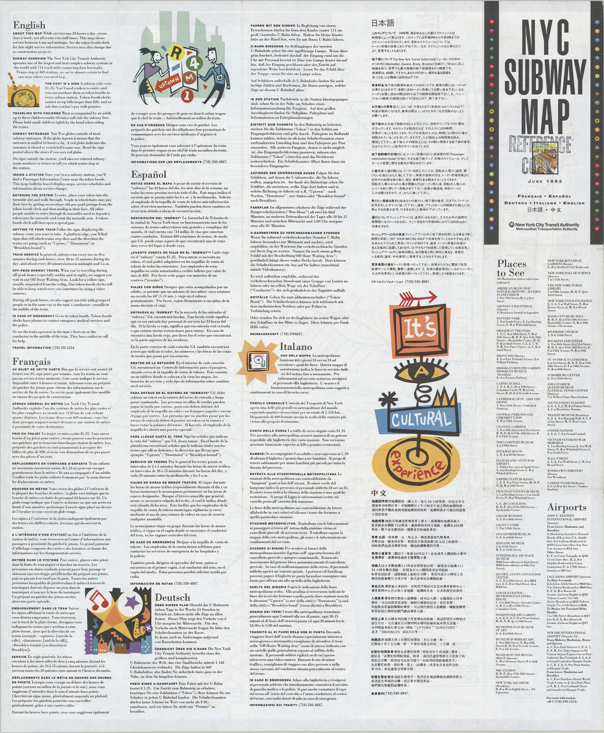
Schematic map showing subway lines in Manhattan, the Bronx, Queens, and Brooklyn. Map, tables, and indexes in English text in English, French, Spanish, German, Italian, Japanese, and Chinese. Panel title. Includes notes, route and schedule tables, and table of wheelchair-accessible stations. On verso: text, directories of places to see and airports, and color illustrattions. “9 8 7 6 5.”
Map area shown
Genre
Transportation mapsRelation
Full catalog recordSize
55 × 45 cmDownload
Low Resolution ImageCreator
New York City Transit Authority,Publisher
Brooklyn Historical SocietyCitation
NYC subway map: June 1993, Français, Español, Deutsch, Italiano, English, Nihongo, Chung wen: New York City Transit Authority, Metropolitan Transportation Authority; [ca. 1993], Map Collection, NYC-1993.Fl; Brooklyn Historical Society.Scale
Not drawn to scaleLoading zoom image... 
