Part of 8t. Ward [185?]
Map No. Bergen-[185-?]j.Fl
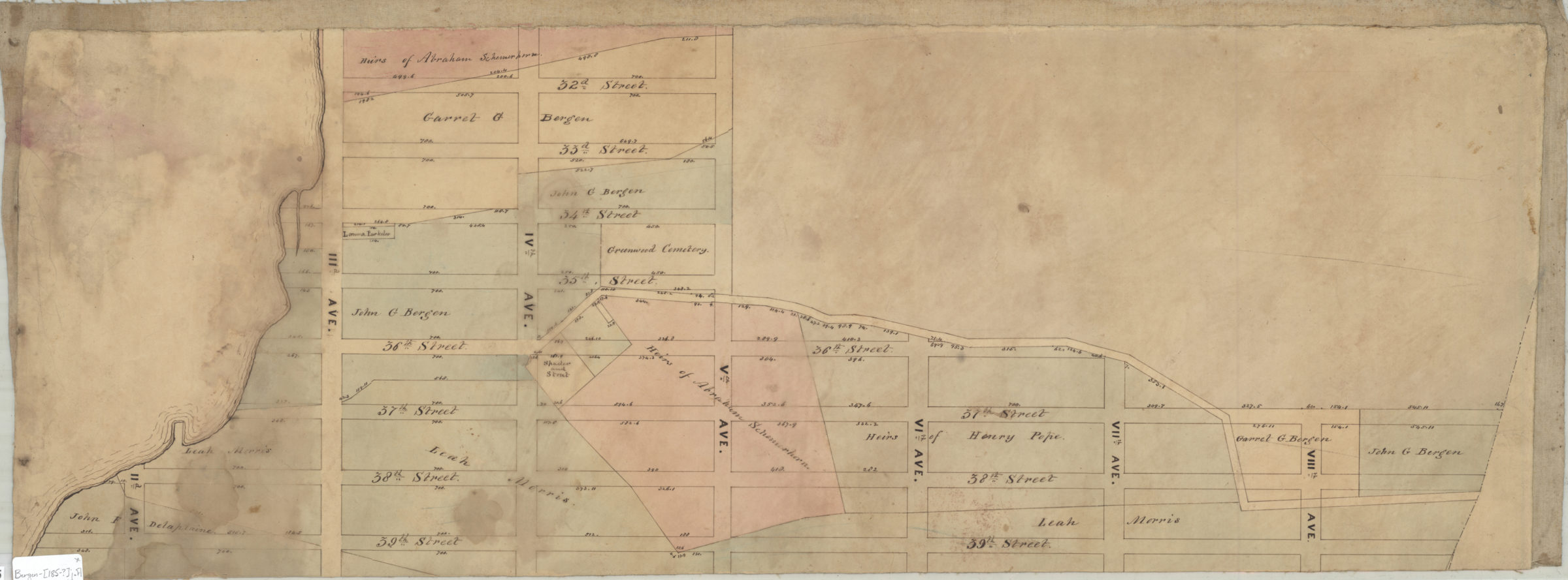
Cadastral map covering area east from Gowanus Bay to 8th Ave. and north from 39th St. to 32nd St. (modern-day Sunset Park, including what is now Greenwood Cemetery). Shows property and names of landowners. Verso title. Likely attributed to T.G. Bergen, based on handwriting on piece. Watermark obscurred by linen backing.
Map area shown
Relation
Full catalog recordSize
29 × 78 cmDownload
Low Resolution Image
Creator
Bergen, Teunis G.,Publisher
Brooklyn Historical SocietyCitation
Part of 8t. Ward; [185?], Map Collection, Bergen-[185-?]j.Fl; Brooklyn Historical Society.Scale
Scale not givenLoading zoom image... 