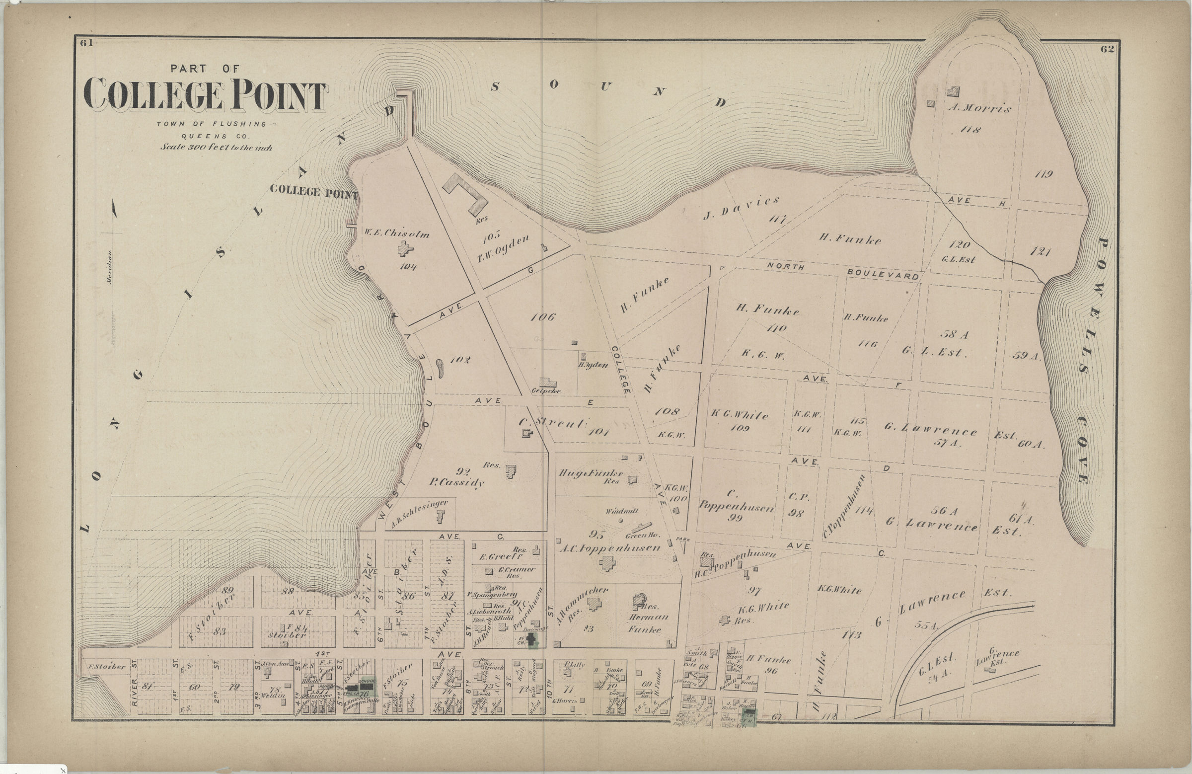
Part of College Point, town of Flushing, Queens Co [1873]
Map No. Q-[1873]k.Fl
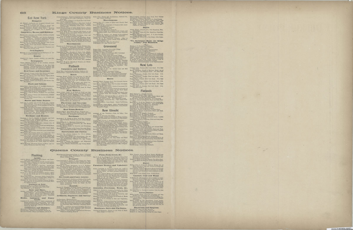
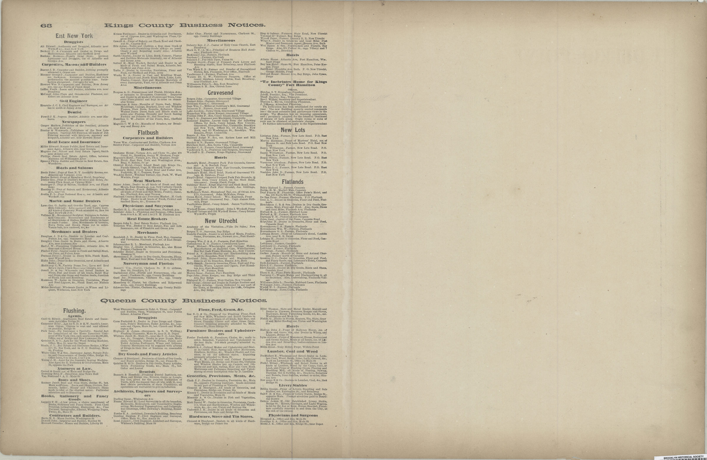
Cadastral map. Shows property (including lots and buildings), and names of landowners. Extracted from: Atlas of Long Island, New York. New York : Beers, Comstock & Cline, 1873, p. 61-63. On verso: Kings County business notices.
Subjects
Places
Map area shown
Genre
Cadastral mapsRelation
Full catalog recordSize
37 × 54 cmDownload
Low Resolution Image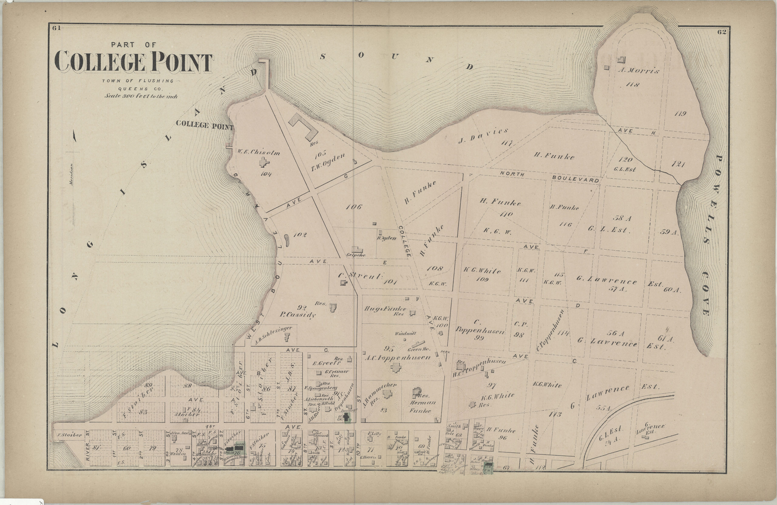
Creator
Beers, F. W.; Beers, Comstock & Cline,Publisher
Brooklyn Historical SocietyCitation
Part of College Point, town of Flushing, Queens Co; [1873], Map Collection, Q-[1873]k.Fl; Brooklyn Historical Society.Scale
Scale [1:3,600] 1 in to 3Loading zoom image...