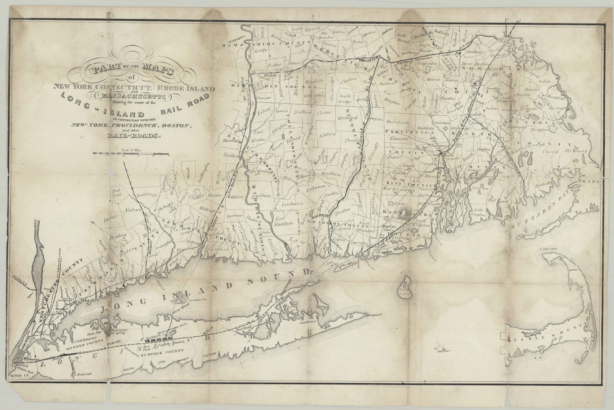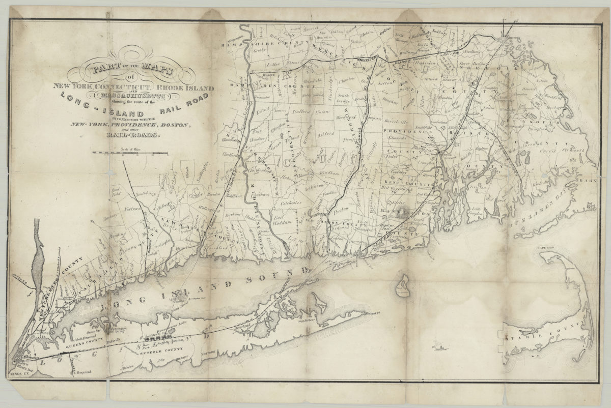
Part of the maps of New York, Connecticut, Rhode Island, and Massachusetts: showing the route of the Long-Island Rail Road in connection with the New-York, Providence, Boston and other rail-roads [ca. 1846]
Map No. E-US-[1846?].Fl
Shows ferry lines and counties. Relief shown by hachures. Includes ill. and inset continuation. Inset continuation: [Cape Cod].
Subjects
Map area shown
Genre
Transportation mapsRelation
Full catalog recordSize
37 × 59 cmDownload
Low Resolution ImageCreator
Publisher
Brooklyn Historical SocietyCitation
Part of the maps of New York, Connecticut, Rhode Island, and Massachusetts: showing the route of the Long-Island Rail Road in connection with the New-York, Providence, Boston and other rail-roads; [ca. 1846], Map Collection, E-US-[1846?].Fl; Brooklyn Historical Society.Scale
Scale [ca. 1:543,100]Loading zoom image... 
