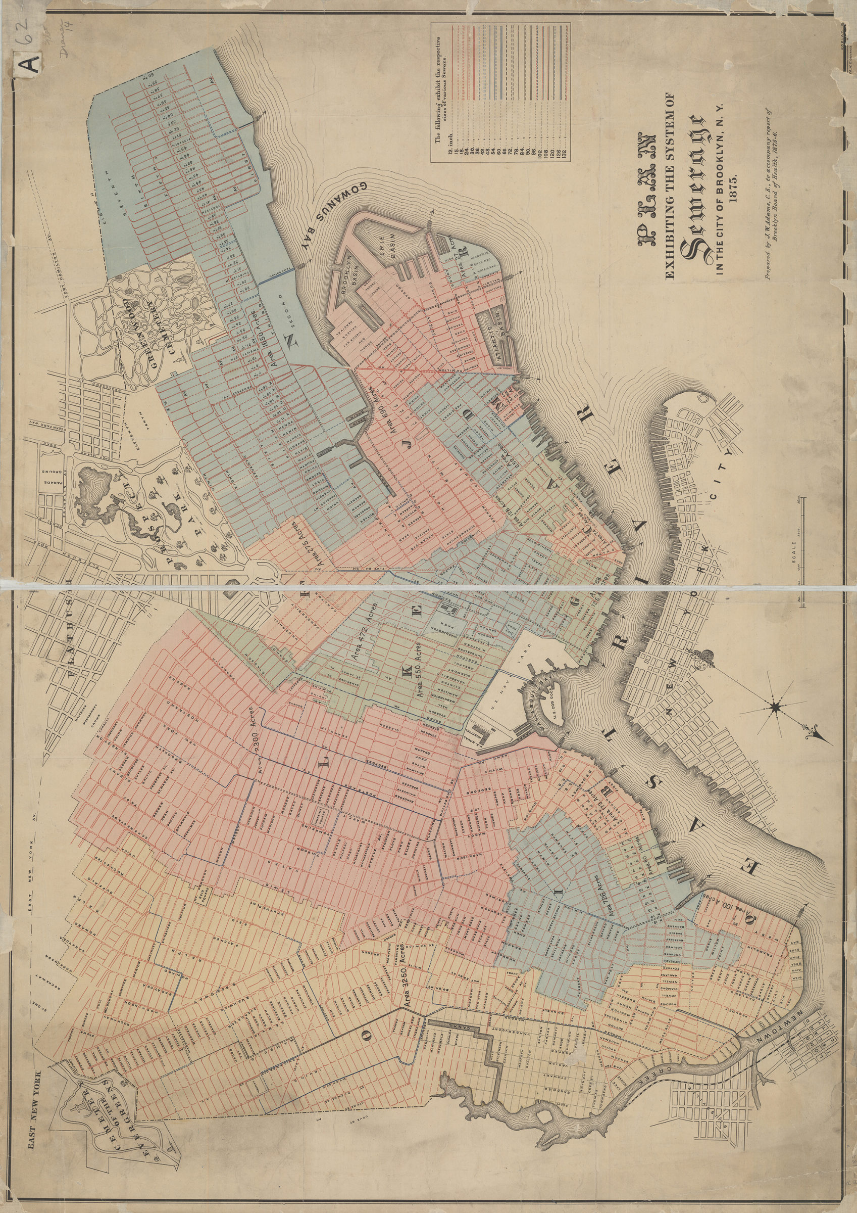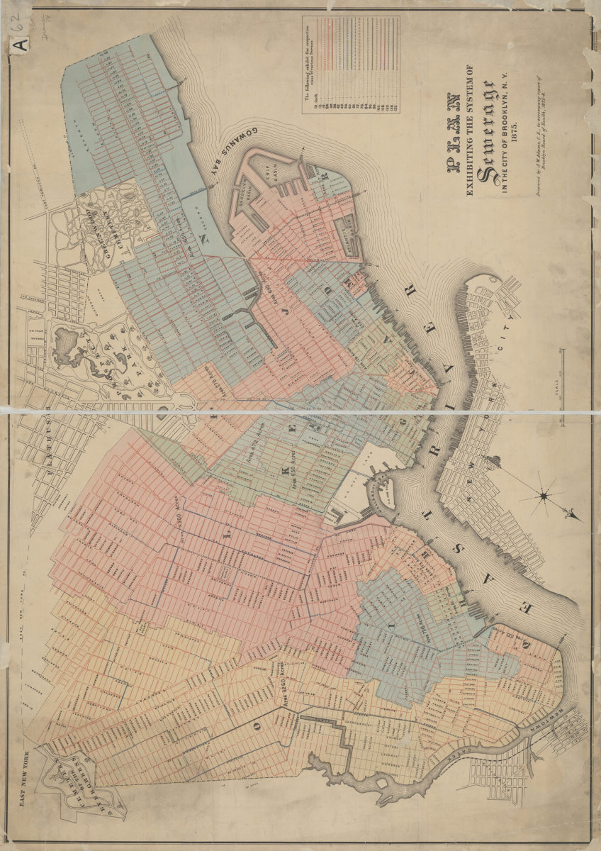
Plan exhibiting the system of sewerage in the city of Brooklyn, N.Y.: prepared by J.W. Adams …. 1875
Map No. B A-1875.Fl
Sewer line map “to accompany report of Brooklyn Board of Health 1875-76.” Covers modern Brooklyn south to 60th Street and east to the Cemetery of the Evergreens and Prospect Park. Oriented with north to lower left of sheet. Includes key to sewer line diameters. NYHS copy frayed creased, lightly soiled. Recto and verso patched with tape. Imperfect: lacking 1-2 cm. and margin at lower edge, also 2 x 11 cm. at upper right corner. M008396
Map area shown
Genre
Public utility mapsRelation
Full catalog recordSize
60 × 86 cmDownload
Low Resolution ImageCreator
Adams, J. W.,Publisher
Brooklyn Historical SocietyCitation
Plan exhibiting the system of sewerage in the city of Brooklyn, N.Y.: prepared by J.W. Adams ….; 1875, Map Collection, B A-1875.Fl; Brooklyn Historical Society.Scale
Scale [1:15,000]Loading zoom image... 
