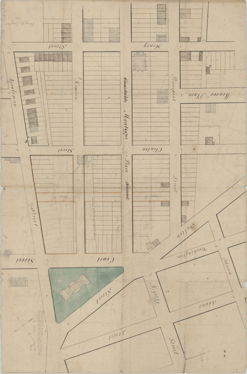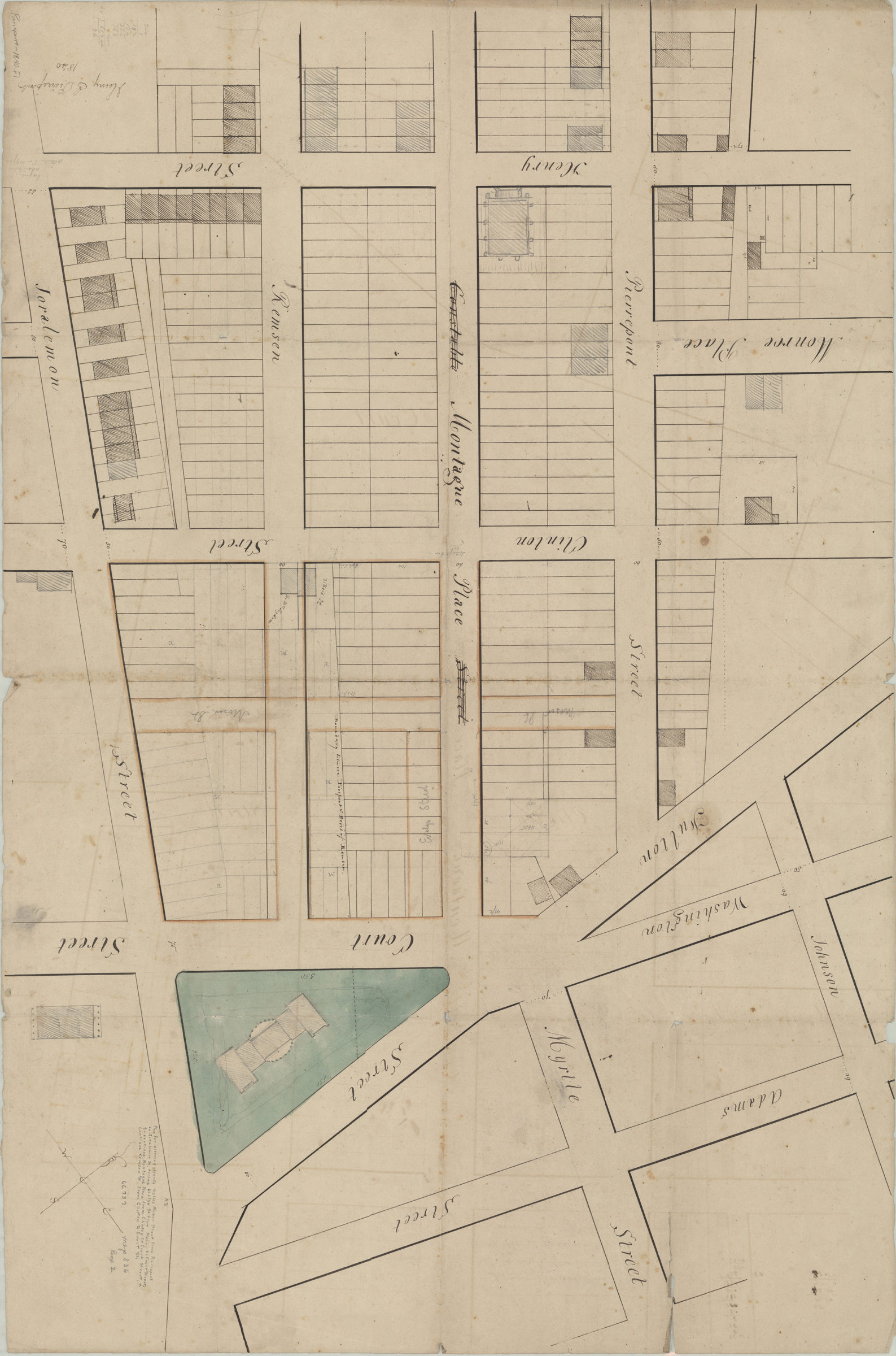
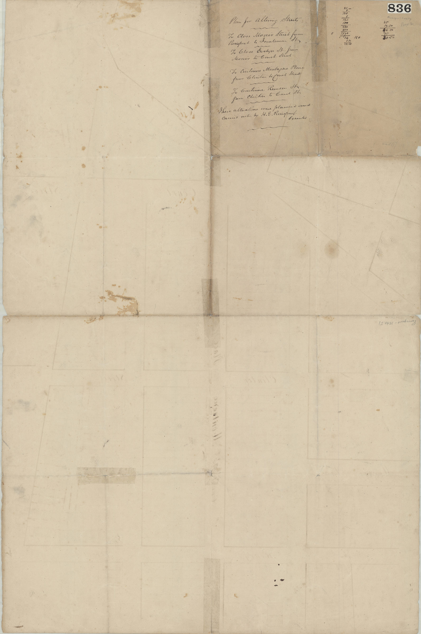
Plan for altering streets: to close Mosier Street from Pierrepont to Joralemon St., to close Evelyn St. from Mosier to Court Street, to continue Montague Place from Clinton to Court Street, to continue Remsen St. from Clinton to Court 1840
Map No. Pierrepont-1840.Fl
Cadastral map covering area roughly bounded by Adams St., Joralemon St., Henry St. and Pierrepont St. (modern-day Brooklyn Heights). Shows property (including lot numbers and buildings), and street changes. Verso title. Oriented with north to the upper left. Includes notes and calculations. “These alterations were planned and carried out by H.E. Pierrepont, Executor”–Verso.
Map area shown
Relation
Full catalog recordSize
67 × 102 cmDownload
Low Resolution Image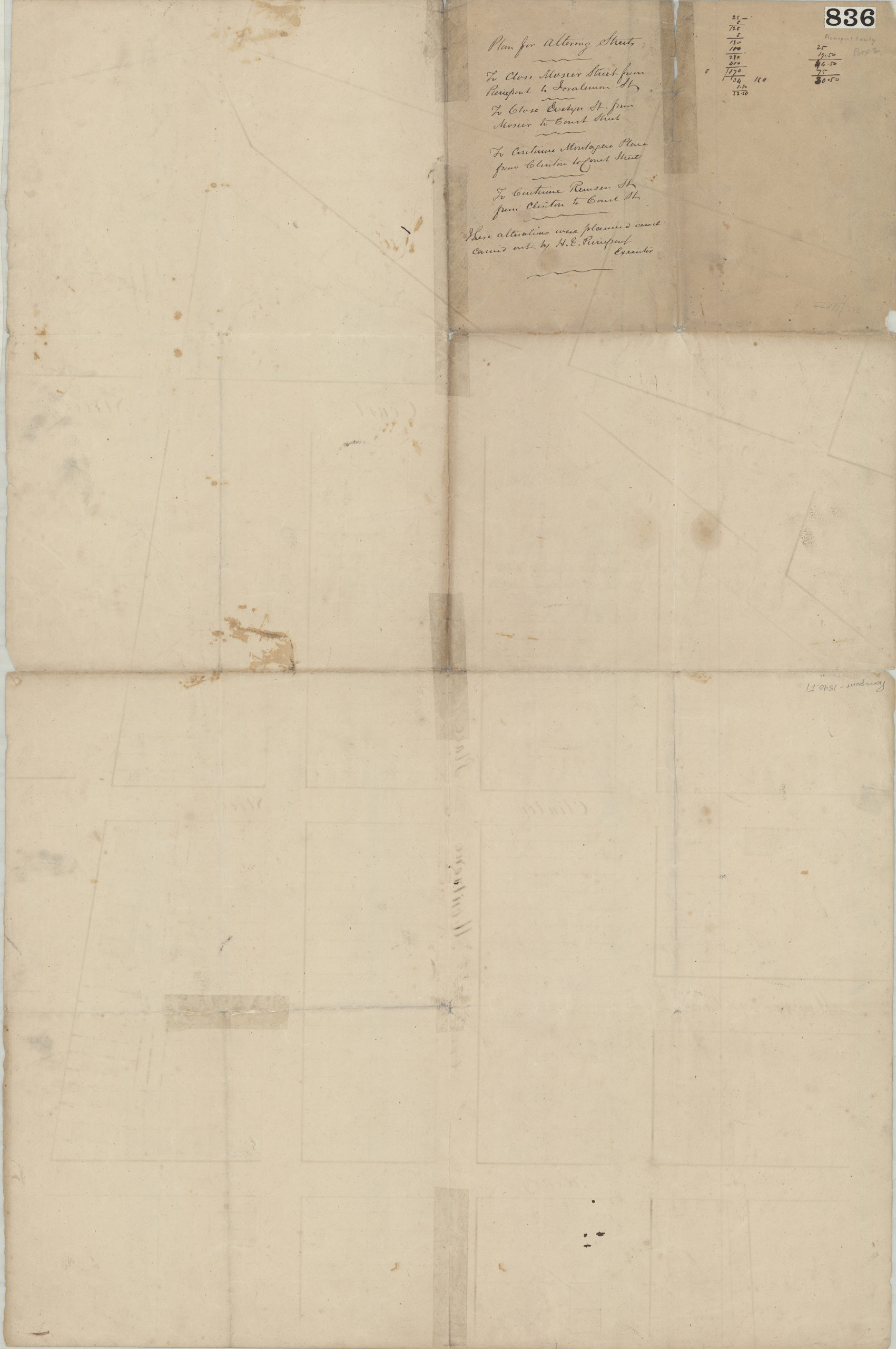
Creator
Pierrepont, Henry Evelyn,Publisher
Brooklyn Historical SocietyCitation
Plan for altering streets: to close Mosier Street from Pierrepont to Joralemon St., to close Evelyn St. from Mosier to Court Street, to continue Montague Place from Clinton to Court Street, to continue Remsen St. from Clinton to Court; 1840, Map Collection, Pierrepont-1840.Fl; Brooklyn Historical Society.Scale
Scale not givenLoading zoom image...