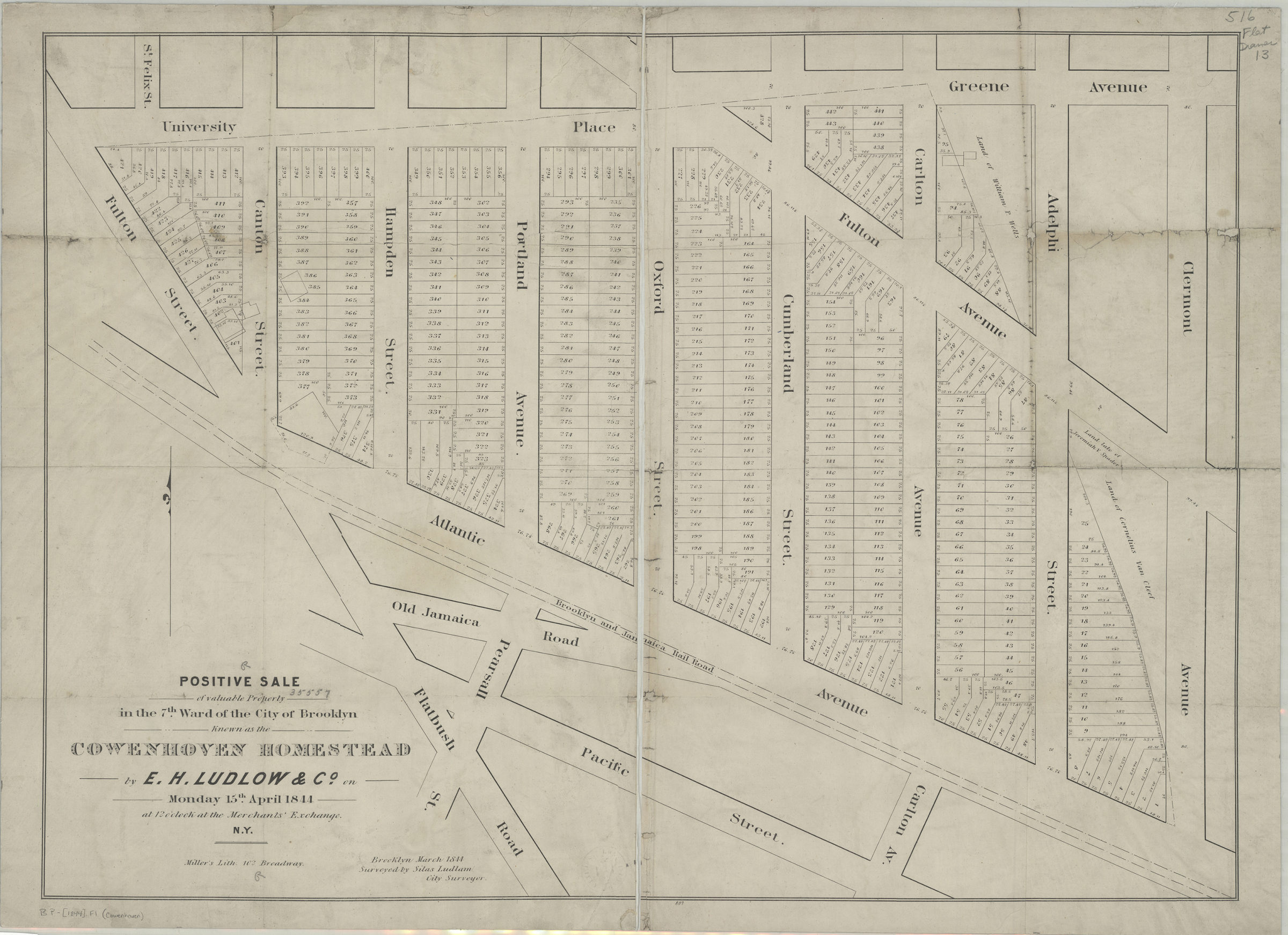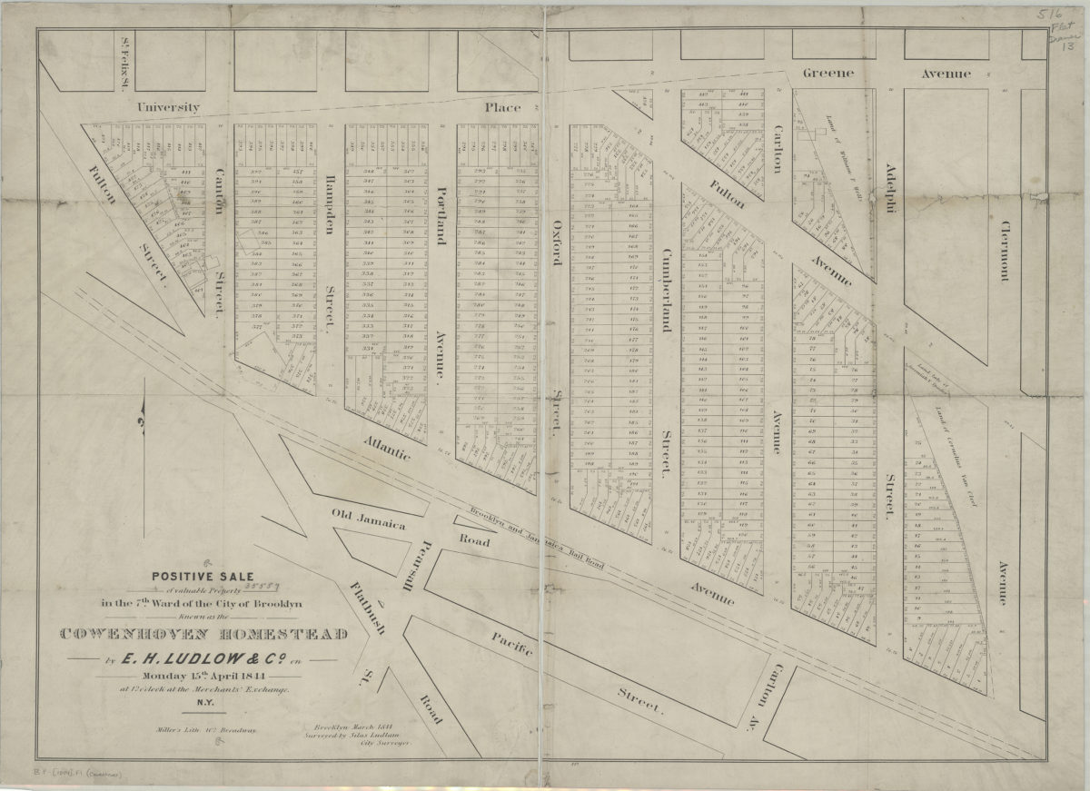
Positive sale of valuable property in the 7th Ward of the city of Brooklyn known as Cowenhoven Homestead, by E.H. Ludlow & Co., on Monday, 15th April, 1844, at 12 o’clock at the Merchants’ Exchange, N.Y.: Brooklyn, March 1844 1844
Map No. B P-[1844].Fl
Cadastral map covering area east from Flatbush Rd. to Clermont Ave. and north from approximately Pacific St. to Greene Ave. (modern-day Fort Greene). Shows property (including lot numbers and dimensions), names of property owners, and the Brooklyn and Jamaica Rail Road. “807”–Lower center margin.
Subjects
Places
Map area shown
Genre
Cadastral mapsRelation
Full catalog recordSize
55 × 76 cmDownload
Low Resolution ImageCreator
Ludlam, Silas,Publisher
Brooklyn Historical SocietyCitation
Positive sale of valuable property in the 7th Ward of the city of Brooklyn known as Cowenhoven Homestead, by E.H. Ludlow & Co., on Monday, 15th April, 1844, at 12 o’clock at the Merchants’ Exchange, N.Y.: Brooklyn, March 1844; 1844, Map Collection, B P-[1844].Fl; Brooklyn Historical Society.Scale
Scale not givenLoading zoom image... 
